Maps of New Jersey

New Jersey is a state in the mid-Atlantic region of the United States. Pennsylvania borders it to the west, Delaware to the south, and New York to the northeast. The Atlantic Ocean lies to its east. New Jersey has an area of 8,729 square miles, making it the 47th largest state.
The geography of New Jersey is heavily influenced by its location along the Atlantic coast. The highest point in New Jersey is High Point, which reaches 1,803 feet above sea level in Sussex County. Much of northern New Jersey features hilly terrain, while southern portions feature flatlands and coastal plains. The state has more than 130 miles of ocean coastline between its northern border with New York and its southern border with Delaware.
The state's rivers are generally short and wide but rich in fish, making them popular for recreational activities like fishing and kayaking. Unfortunately, the Passaic River runs through central New Jersey, and it is one of the most polluted rivers in North America due to industrial waste from nearby cities such as Newark and Paterson.
New Jersey is home to several types of forests, including deciduous hardwood forests along the northwest side of the state near Pennsylvania, coniferous forests in northwestern portions near New York State, oak-hickory broadleaf forests throughout much of southern and central NJ, and Pine Barrens regions found in parts of southern New Jersey. As a result, many species thrive within the state's diverse ecosystems; 480 species of birds inhabit New Jersey, including bald eagles, snowy owls, peregrine falcons, wood thrush, and wild turkeys.
New Jersey experiences hot summers with average temperatures often reaching into the high 70s/low 80s Fahrenheit range during July and August throughout much of North and Central NJ (closer to New York City). In New Jersey, the climate gets warmer as you travel south towards Philadelphia and the southwestern part of the state. During summer days, temperatures can reach up to 95 degrees Fahrenheit due to ocean breezes from the nearby coastlines. These breezes cool down the area to 50-70 degrees Fahrenheit at night, depending on air currents from the Atlantic Ocean.
Counties Map
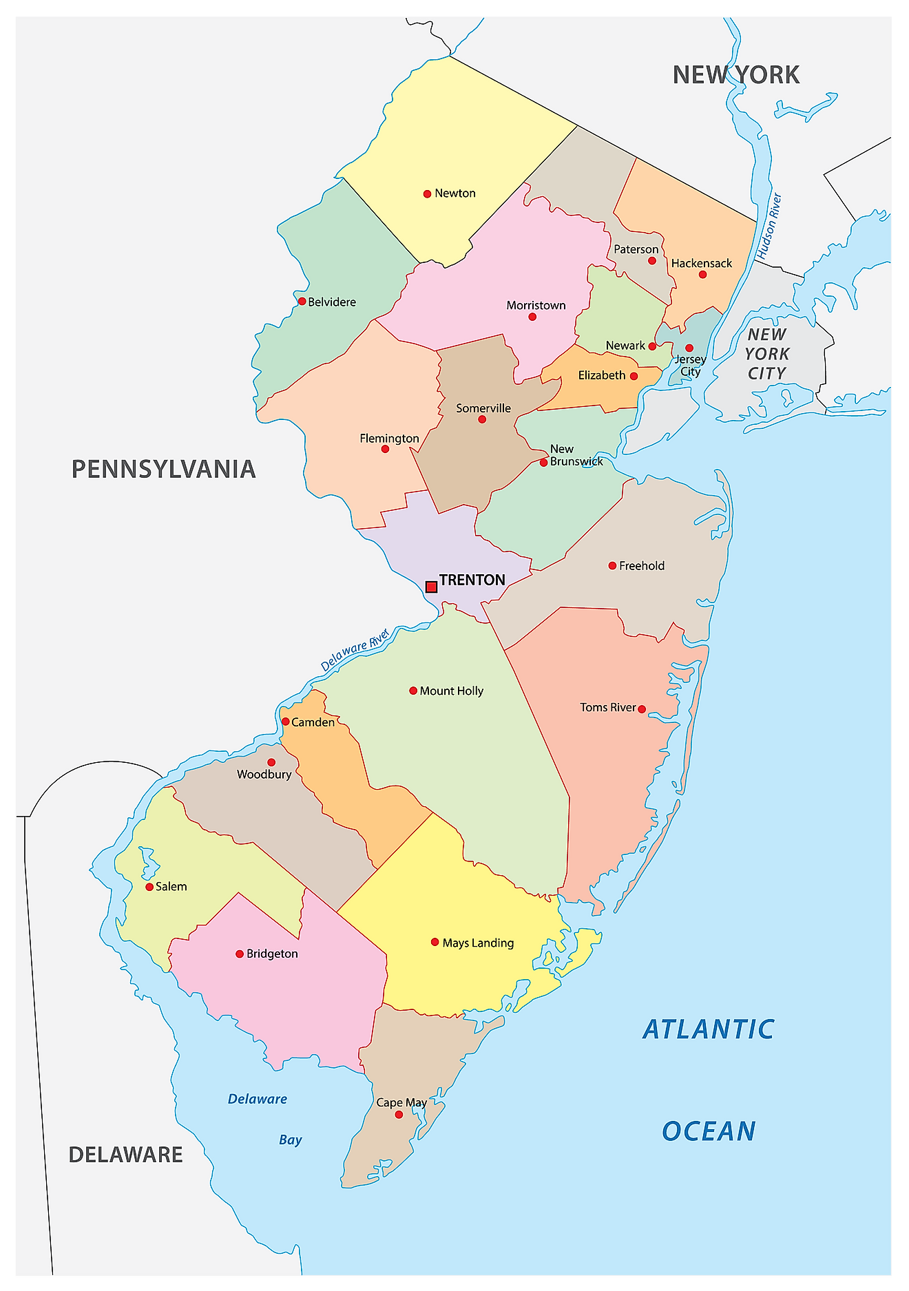
The State of New Jersey is divided into 21 counties. In alphabetical order, these counties are: Atlantic, Bergen, Burlington, Camden, Cape May, Cumberland, Essex, Gloucester, Hudson, Hunterdon, Mercer, Middlesex, Monmouth, Morris, Ocean, Passaic, Salem, Somerset, Sussex, Union, Warren.
With an area of 22,591.38 sq. km, New Jersey is the 4th smallest and the 11th most populous state in the USA. Located on the Delaware River is Trenton – the capital city of New Jersey. It is among the seven state capitals situated in the Piedmont Plateau. Trenton serves as a manufacturing hub for automobile parts, rubber, plastics, electrical, glass, and textile industries. Situated in the northeastern part of the state, on the west bank of the Passaic River is Newark – the largest and the most populous city in New Jersey. It serves as the chief shipping, air, and rail hub of the USA. The Newark seaport also functions as the chief transportation and distributing center, and is one of the busiest seaports on the East Coast of the United States.
Where is New Jersey?
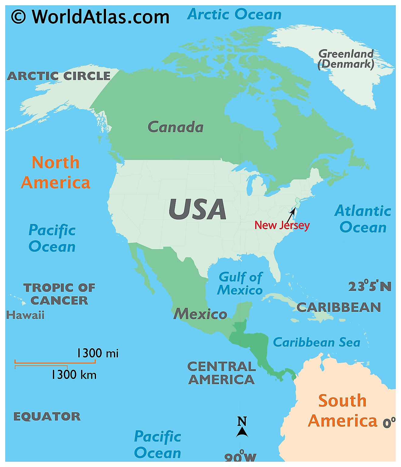
The State of New Jersey is located in the Mid-Atlantic region of the United States. New Jersey is bordered by the Hudson River and the state of New York in the north and northeast, by the Atlantic Ocean in the east and southeast, by the Delaware River and the state of Pennsylvania in the west, and by the Delaware Bay and the state of Delaware in the south and southwest.
Regional Maps: Map of North America
Outline Map of New Jersey
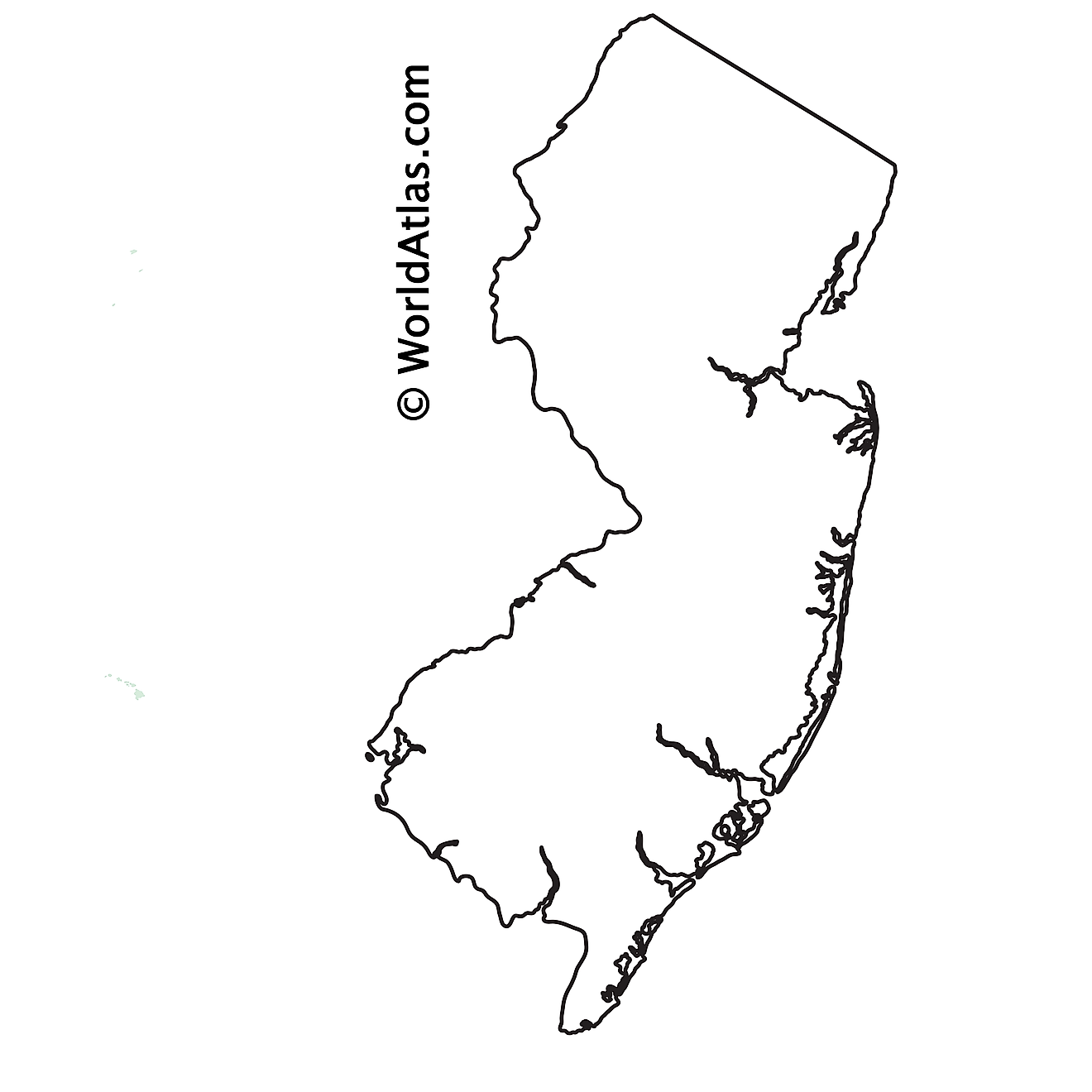
The above blank map represents the State of New Jersey, located in the Mid-Atlantic region of the United States. The above map can be downloaded, printed and used for geography education purposes like map-pointing and coloring activities.
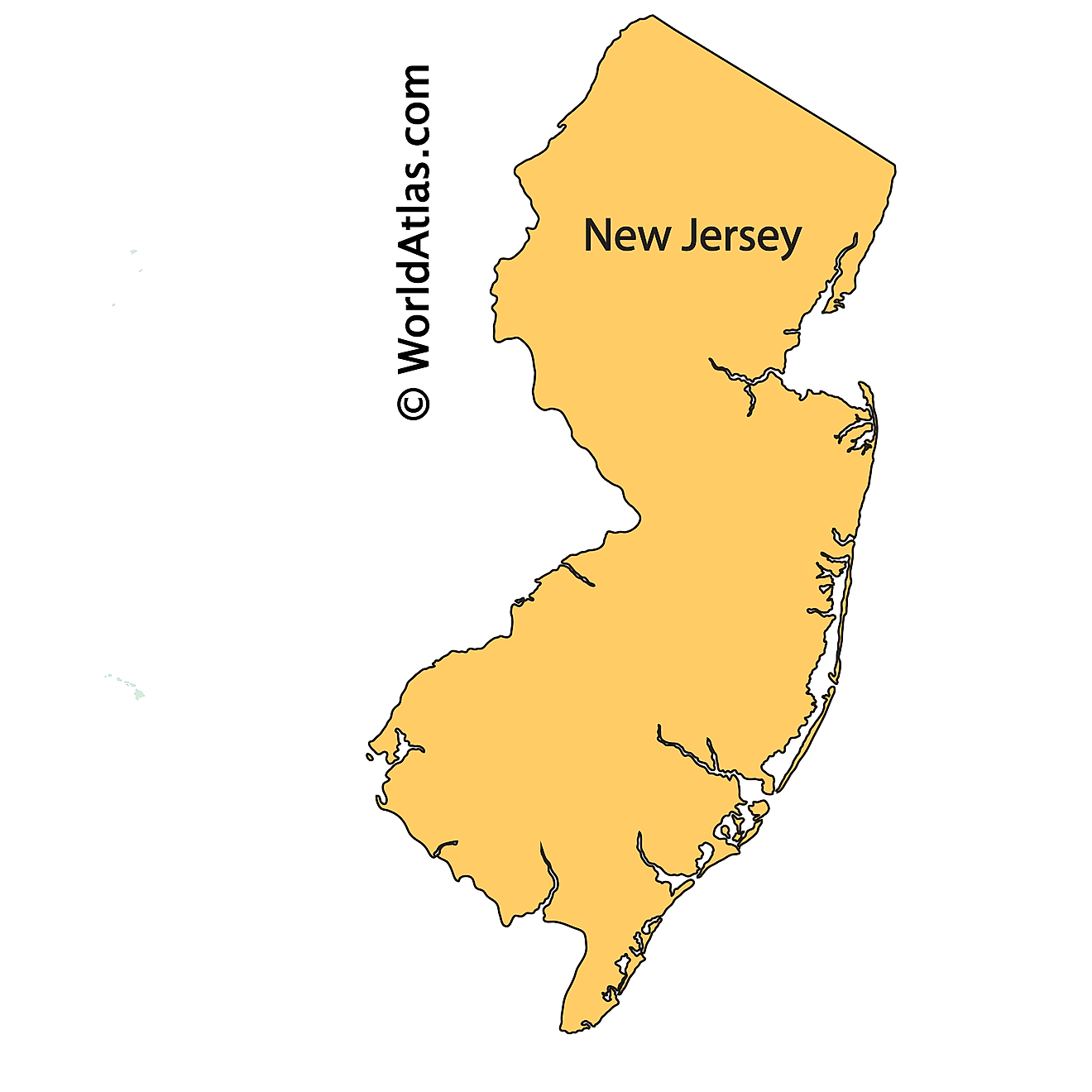
The above outline map represents the State of New Jersey, located in the Mid-Atlantic region of the United States. New Jersey has been nicknamed as the "Garden State".
Key Facts
| Legal Name | State of New Jersey |
|---|---|
| ISO 3166 Code | US-NJ |
| Capital City | Trenton |
| Largest City |
Trenton (335,858) |
This page was last updated on February 14, 2023
