British Indian Ocean Territory
The British Indian Ocean Territory is an overseas territory of the United Kingdom that was established on November 8, 1965, and is strategically positioned in the heart of the Indian Ocean, approximately midway between East Africa (Tanzania) and Indonesia. The territory is situated about 1,770 km east of the island nation of Seychelles and about 2,180 km northeast of Mauritius.
Geography

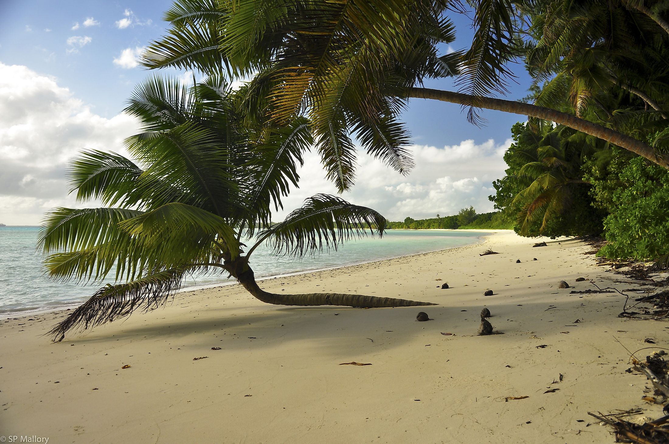
British Indian Ocean Territory includes all the 55 islands of the Chagos Archipelago and occupies a total land area of 60 km2 and about 54,340 km2 of ocean. The principal islands in the archipelago form a semicircular group which is open on its eastern side and includes the Diego Garcia atoll, Danger Island, Egmont Islands, Eagle Islands, Nelsons Island, Peros Banhos atoll, Three Brothers Islands, and the Solomon Islands. Diego Garcia covers an area of about 30 km2 and is the largest and the most southerly island of the Chagos Archipelago.
The islands of the British Indian Ocean Territory feature flat and low terrain and most areas of the islands do not exceed more than 2 m in elevation. There are no rivers and lakes on the islands. The ocean-side dunes on the Diego Garcia atoll are the highest point in the British Indian Ocean Territory, which rises to an elevation of only 9 m.
The islands of the British Indian Ocean Territory experience a tropical marine climate with high temperatures and elevated humidity levels. The island’s climate is heavily moderated by the trade winds which blow over the islands.
There are no permanent settlements on the islands and the British Indian Ocean Territory is currently inhabited by about 4,000 US and UK military staff and contract personnel. It is administered from London by a Commissioner, who is appointed by the ruling British Monarch. The Royal Navy Commander serves as the Commissioner’s Representative and is the highest civilian authority in British Indian Ocean Territory.
Wildlife
The vegetation of the Chagos Islands comprises coconut trees, ironwood pine trees, and sea lettuce. More than 280 vascular plant species have been recorded from Diego Garcia. However, very few terrestrial faunal species are found on the islands of the Chagos Archipelago. In April 2010, about 545,000 km2 of the island’s surrounding waters were designated as a marine reserve by the Government of the United Kingdom, to protect the marine life and coral reefs in the region.
Brief History

The Chagos Islands were known for several centuries by the inhabitants of the Maldive Islands. The Chagos islands were colloquially known as Hollohavai in the native Maldivian folklore. But due to their far location from the Maldives, the islands were never permanently inhabited by the Maldivians. At the beginning of the 16th century, the Chagos islands were mapped by the Portuguese explorer Vasco da Gama. In the 18th century, along with the Mauritius islands, the Chagos islands were also taken over by France. The islands were then settled by African slaves and Indian contractors who were brought to work on the island’s coconut plantations by Franco-Mauritians. By the 1814 Treaty of Paris, the entire territory under the French was ceded to the United Kingdom.
The islands of the Chagos Archipelago were separated from the Mauritius Islands by the British authorities and the British Indian Ocean Territory was established on November 8, 1965. The new territory included the Aldabra Islands, Desroches Islands, and Farquhar Islands along with all the islands of the Chagos Archipelago. In 1976, Aldabra, Desroches, Farquhar, and several other smaller islands were transferred to Seychelles and only the islands of the Chagos Archipelago now form a part of the British Indian Ocean Territory.
The islands were inhabited by the descendents of the African slaves and Indian contractors, and this population came to be known as the Chagossians. After the British Indian Ocean Territory was established, the UK government purchased all the coconut plantations and forcibly relocated the entire Chagossian population to Mauritius and Seychelles. The expelled Chagossians continue to contest the situation surrounding their expelling from the islands, calling the actions of the UK illegal. In 1971, the United Kingdom leased the Diego Garcia atoll to the United States for its use as a naval and military base.


