Where is Habersham County, Georgia?
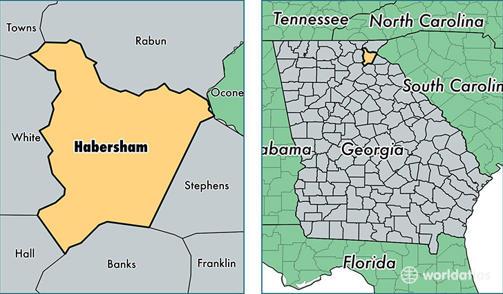
Habersham County is a county equivalent area found in Georgia, USA. The county government of Habersham is found in the county seat of Clarkesville.
With a total 722.67 sq. km of land and water area, Habersham County, Georgia is the 2894th largest county equivalent area in the United States. Home to 43,752 people, Habersham County has a total 18036 households earning 39306 on average per year.
Habersham County, Georgia - Quick Facts
| FIPS Code | 13137 |
| Area Codes | 706 |
| Time Zone | EST |
| Major Cities | Clarkesville (population: 13,045), Cornelia (population: 11,407), Alto (population: 8,358), Demorest (population: 7,120), Mount Airy (population: 5,432) |
| Land Area | 16,893 sq miles |
| Water Area | 277 sq miles |
| Household Income | $39,306 |
| Housing Units | 18,036 |
| Median Home Value | $137,900 |
| High School Grads | 78% of population |
| Holders of Bachelors Degrees | 17% of population |
| Retail Spending | $11,672 per capita |
| Food & Accomodation Sales | $41,762 per capita |
This page was last updated on June 30, 2016.