The Most Extreme Points of Mexico
- Mexico’s lowest point is at the Laguna Salada, which is in Baja California’s Sonoran Desert and its highest point in Mexico lies at the stratovolcano known as Pico de Orizaba
- The easternmost point of Mexico is situated in the island of Isla Mujeres and the westernmost point is Guadalupe Island
- Northernmost point of Mexico is located close to Los Algodones in Baja California’s Mexicali Municipality and southernmost point is Suchiate River
Mexico is a federal state located in the southern parts of North America. The most extreme points in Mexico include the easternmost point at the Isla Mujeres, the northernmost point near Los Algodones, the westernmost point at Isla de Guadalupe, and the southernmost point at the mouth of Suchiate River. The other two points refer to the highest point in Mexico at Pico de Orizaba and the lowest point located at Laguna Salada. While not on this list, there are also extreme points in matters concerning air transportation. The General Rodolfo Sánchez Taboada International Airport in Baja California’s Mexicali Municipality is the northernmost airport in Mexico. The airport is at the coordinates 32°37′50″ N 115°14′29″ W. On the other hand, the southernmost airport is the Tapachula International Airport which is located in Tapachula Municipality at the coordinates 14°47′40″ N 92°22′12″ W.
6. Northernmost Point in Mexico
The northernmost point of Mexico is located close to Los Algodones in Baja California’s Mexicali Municipality, which is close to the border with the United States. To be specific, the coordinates for the northernmost point are at the 32° 43' 06" N latitude. On a larger scale, the town of Los Algodones (which translates to "the cotton plants") is the northernmost town in Mexico with the northernmost spot in Mexico situated in the northeastern region of the town. One interesting fact about this town is that travelling in any one of the four compass directions will take someone across the US border. In recent years, the town has become a popular destination among tourist because of its affordable healthcare as well as its shopping facilities and restaurants. Further, the warm and dry climate has increased the popularity of the region especially among seniors who have trouble dealing with the cold during winter in the neighboring United States and Canada.
5. Southernmost Point in Mexico
This point is at latitude 14° 32' 27" N at the mouth of Suchiate River (which roughly translates to "flower-water"), at the Guatemalan border, in the town of Suchiate in Chiapas. The river has its origins at the Tacaná volcano in Guatemala’s Sierra Madre range and flows towards the border of Mexico until it reaches its mouth at the Pacific Ocean. The region around the river mouth marks Mexico’s southernmost point. Along the river, lies the archaeological site known as Izapa.
4. Westernmost Point in Mexico
Located in Guadalupe Island (or Isla de Guadalupe among the locals), Mexico’s westernmost spot lies at the longitude 118° 22' 00" W. This longitude is around the island’s Roca Elefante area. Technically, Roca Elefante is an island unto itself. However, due to its small size (0.25 acres), it is described as an islet together with several others. The small size, coupled with proximity to the bigger Guadalupe Island (less than one mile away), the islet is considered to be a part of Guadalupe Island. Roca Elefante is to the northwest of Isla de Guadalupe and is close to other islets like Steamboat Rock and Palto Muerto.
3. Easternmost Point in Mexico
The easternmost point of Mexico is situated in the island of Isla Mujeres in the state of Quintana Roo in the Municipality of Isla Mujeres. Isla Mujeres, which is Spanish for “Women Island,” lies within the Caribbean Sea about 8.1 miles from the Yucatán Peninsula coast. The island has a width of about 2,130 feet and a length of approximately 4.3 miles. Within the island, at the southeastern tip, the easternmost point of Mexico is found at the longitude 86° 42' 36" W. Together with the nearby and famous Cancún, the two places have developed together since the 1970s as popular tourist destinations for visitors from all around the world. Visitors are attracted by the variety of hotels available as well the vast array of cuisines. Other activities that are popular there include snorkeling, scuba diving, swimming, and dolphin observations.
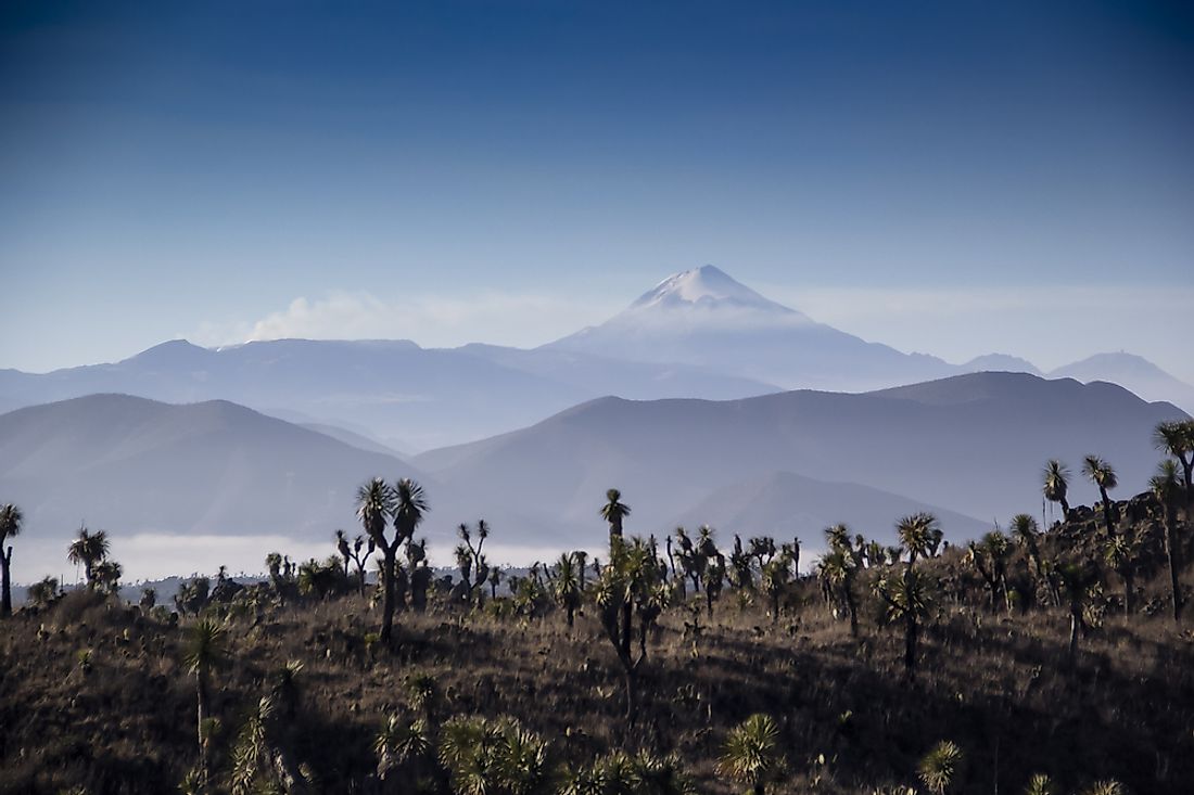
2. Highest Point in Mexico
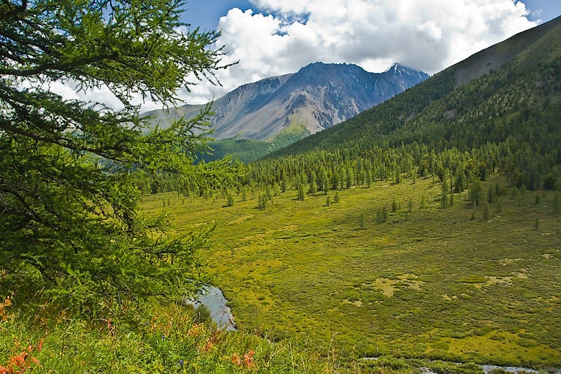
The highest point in Mexico lies at the stratovolcano known as Pico de Orizaba (also called Citlaltépetl). On a grander scale, the stratovolcano ranks third in terms of height among all other mountains in North America. The mountain comes after the United States’ Mount Denali (previously known as Mount McKinley) and the nearby Canada’s Mount Logan. Mexico’s highest point has a height of a massive 18,491 feet above the sea level. The mountain is situated at the eastern side of the Trans-Mexican Volcanic Belt at the boundary between Veracruz and Puebla. For exact coordinates, the mountain lies at the region denoted by the coordinates 19°01′48″N 97°16′12″ W on a map. The volcano has been dormant for some time now with the last eruption coming back in the 19th century but experts say that it is not yet extinct. In terms of the most prominent volcanic peaks in the globe, Pico de Orizaba is in the second position with Africa’s Mount Kilimanjaro coming in first.
1. Lowest Point in Mexico
Mexico’s lowest point is at the Laguna Salada, which is in Baja California’s Sonoran Desert within Mexicali Municipality. The Laguna Salada is a massive dry lake that is around -33 feet below the level of the sea. The name of the lake is Spanish for “salty lagoon” and it is situated at the coordinates 32.36° N 115.65° W. The lake is sandwiched by the mountain ranges of Sierra de Juárez and the Sierra de Los Cucapah and has a maximum width of about 11 miles while its length is approximately 37 miles. Being situated in a desert with harsh climatic conditions, the rhombus-shaped lake is prone to drying up completely from time to time. During this time, the basin of the lake is a popular site for driving recreationally. During this time of dryness, the basin is also prone to dust storms as a result of the thunderstorms caused by the monsoon winds in the summer. When it rains, however, the basin can fill up completely with water thus limiting the options for moving around the area. In addition, the lake is prone to occasional earthquakes such as the 2010 earthquake of Baja California. The reason for this lies in the fact that the lake’s depression, which is a graben, is connected to the notorious San Andreas Fault and the Laguna Salada Fault.