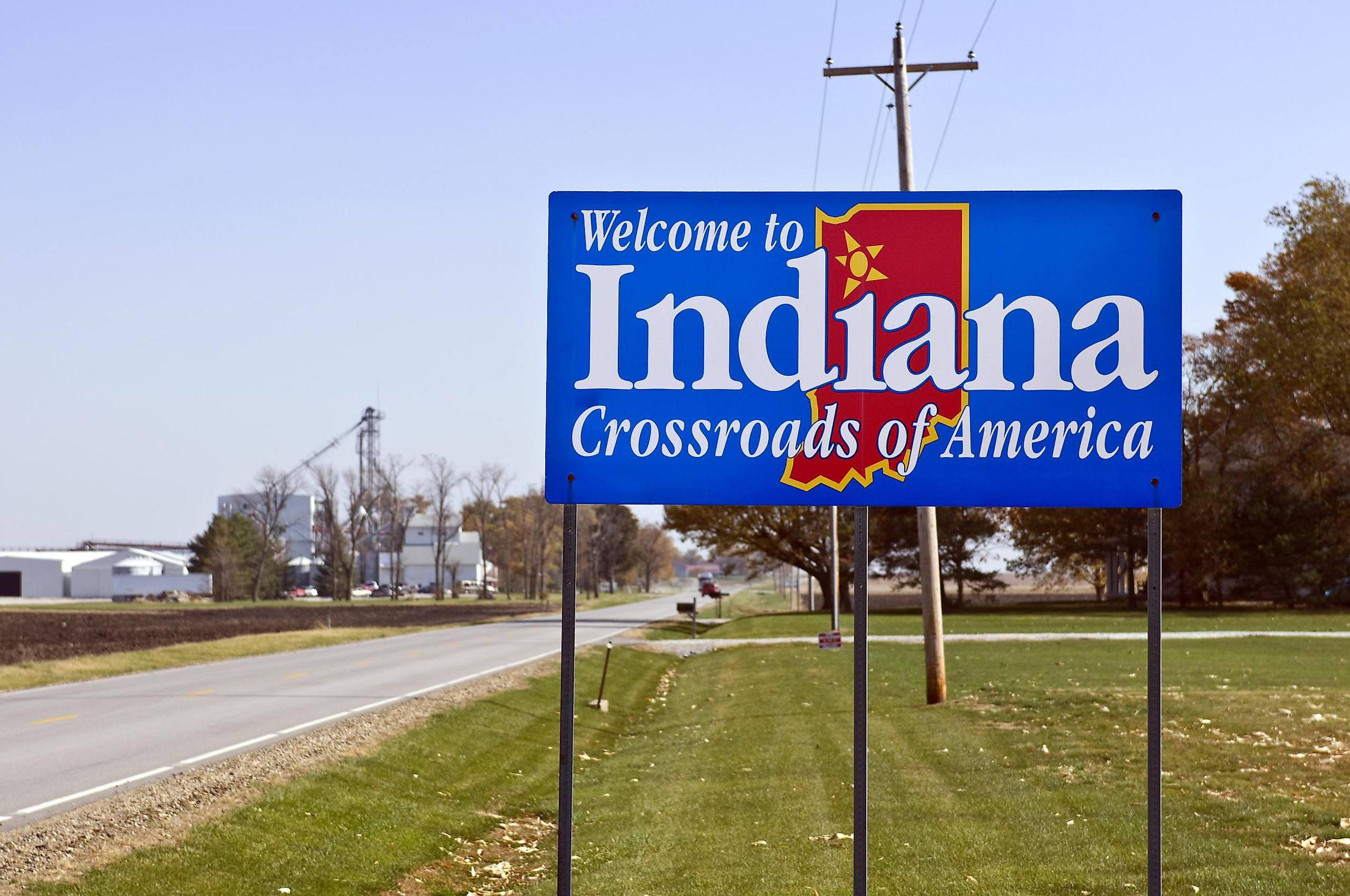
Indiana Territory
Indiana Territory was an organized incorporated territory that was created by an Act of Congress and signed into law on May 7, 1800, by John Adams who was then the President of the United States. The territory existed from 1800 to 1816 and included parts of the present-day states of Illinois, Wisconsin, a major part of Indiana, Michigan, and the eastern portion of Minnesota. The territory officially became a part of the Union as the State of Indiana on December 11, 1816.

Becoming A US Territory
The Northwest Territory was an organized unincorporated territory that was created by the Confederation Congress via the Northwest Ordinance in 1787. The vast Northwest Territory included major parts of the land area that was located to the east of the Mississippi River and the north of the Ohio River. On May 7, 1800, the US Congress decided to split the Northwest Territory into two parts. The larger portion was known as the “Indiana Territory” and the smaller portion was known as the “Northwest Territory.”
The Indiana Territory was therefore the first new territory that was carved out from the vast areas of the Northwest Territory. On May 13, 1800, William Henry Harrison was appointed by President John Adams as the first Governor of the Indiana Territory. The French fort of Vincennes, which was the oldest settlement of the territory, was made the first territorial capital. Until the arrival of Harrison at Vincennes, John Gibson, the territorial secretary, served as the acting Governor of the Indiana Territory. The territory was initially composed of four counties, namely Randolph County, Saint Clair County, Knox County, and Wayne County. With the rise in the territory’s population, several counties were added. US President Thomas Jefferson also appointed Harrison as a special commissioner in 1803, to negotiate with the Indigenous tribes and decide their land boundaries. From 1803 to 1809, Harrison signed several treaties with the Indigenous peoples, beginning with the Treaty of Vincennes, Treaty of Grouseland, and Treaty of Fort Wayne, and successfully stripped millions of acres of land from Indigenous peoples to bring under the control of the US government.
On March 1, 1803, the State of Ohio was created and the land that was not included in the new state became a part of the Indiana Territory. On April 30, 1803, via the famous Louisiana Purchase, the French Territory of Louisiana was purchased from France by the United States. Harrison was also appointed as the Governor of the Louisiana Territory from 1804 to 1805. During this time, Harrison’s Treaty of St. Louis with the Indigenous Sac and Fox tribes ceded more than 50 million acres of land to the United States.
Path To Statehood

In 1804, the residents of the Indiana Territory voted to enter the second stage of government. The Michigan Territory was created by the Congress on January 11, 1805. The Indiana Territory was again divided by the Congress to create the Illinois Territory on February 3, 1809.
However, after Harrison negotiated the Fort Wayne Treaty in 1809, there was growing unrest among the Indigenous tribes, mainly the Shawnee peoples that were led by Tecumseh and his brother Shawnee Prophet. The two brothers formed a confederation of all Indigenous tribes that resided in the west of the Appalachian Mountains. The followers of Tecumseh and Prophet and their principal village Prophetstown were destroyed by Harrison’s troops at the Battle of Tippecanoe on November 7, 1811. Many tribes subsequently allied with the British and this led to the beginning of the War of 1812 from June 18, 1812 onwards. The war ended with the signing of the Treaty of Ghent in 1814 between the victorious Americans and the British with their Indigenous allies.
After the Michigan and Illinois Territories were carved out from the large Indiana Territory, the territorial Assembly passed The State Capital Act in 1813 and selected Corydon in Harrison County as the new territorial capital. In April 1813, Thomas Posey was appointed by President James Madison as the new Governor of the Indiana Territory.
In 1815, the Indiana statehood petition was presented to the US House of Representatives. In the following year after much debate and deliberation, Indiana finally became the 19th State of the United States of America on December 11, 1816.


