Bay Of Bengal
A bay is defined as a coastal water body that connects to the main water body, such as a lake, ocean, or a larger bay. Although they form in different ways, the world’s largest bays like the Gulf of Guinea, Bay of Bengal, and the Gulf of Mexico formed through plate tectonics. Bays are of different sizes, with the larger ones referred to as sea, gulfs, bight, or sound.
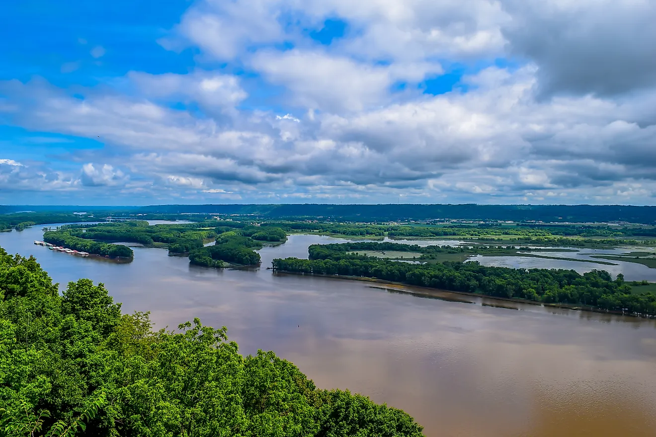
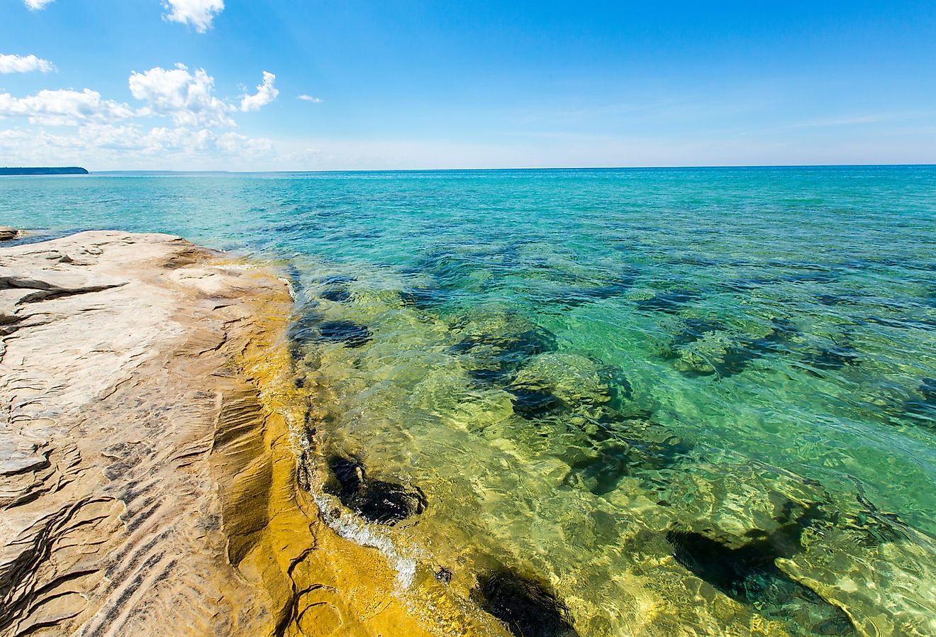
The Bay of Bengal is the Indian Ocean’s second-largest subdivision after the Arabian Sea. It has a surface area of 2,600,000 km2 and stretches over a maximum length of 2,090 km and a maximum width of 1,610 km. This bay has an average depth of 2,600 m and a maximum depth of 4,694 m. The Bay of Bengal is the world’s largest water body referred to as a bay.
Where Is The Bay of Bengal?

The Bay of Bengal forms the northeastern portion of the Indian Ocean. It is shared by the Southeast and South Asia countries and separated from the Burma Sea (Andaman Sea) to its east by the Nicobar Islands and the Andaman Islands. The bay’s southern limit is between Sangaman Kanda in Sri Lanka and Sumatra, Indonesia.
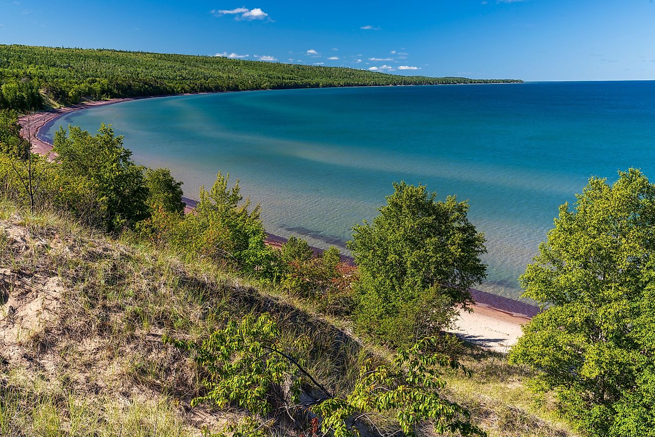
The Bay of Bengal is bound by several Asian countries, including India to the northwest and west, Myanmar to the east, Bangladesh to the north, Sri Lanka to the southwest, and Indonesia to the southeast. India’s Nicobar and Andaman Islands also border the bay on the east. The bay hosts the world’s largest mangrove forest (Sundarbans) and longest beach (Cox’s Bazar).
The Climate Of The Bay Of Bengal

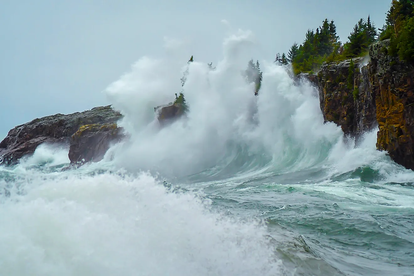
The climate of the Bay of Bengal can be defined as a monsoon climate. Between November and April (winter season), a continental high-pressure system on the bay’s north causes the northeast monsoons to form. The rain-bearing southwest winds prevail during summer (June to September). Cyclones occur between April and May (spring) and October and November (fall). The Bay of Bengal's monsoon moves northwestward, striking the Andaman and Nicobar Islands in May and mainland India before the end of June.
History Of Tropical Storms And Cyclones In The Bay Of Bengal

Tropical cyclones can occur throughout the year on the Bay of Bengal and the neighboring Arabian Sea. However, tropical cyclones are most common between April and June and October and December. Some of the world’s deadliest and strongest tropical cyclones form on the Bay of Bengal. The region has experienced some of the most intense, devastating, and costliest cyclones and storms in history.
The bay’s most intense tropical cyclone, known as the 1999 Odisha Cyclone, formed on October 25, 1999. It originated from a conviction area in the Sulu Sea on October 21 and moved in a west-northwesterly direction, strengthening into a cyclonic storm by the next day. By October 28, it had attained a super cyclonic storm intensity. The cyclone peaked the following day with a wind speed of 160 mph, reaching Odisha with the same intensity. The storm dissipated a week later, on November 4, 1999. According to India Meteorological Department, the tropical storm resulted in 9,887 fatalities and damaged $4.44 billion worth of property. Besides India, the storm impacted Bangladesh, Myanmar, and Thailand.
The 1970 Bhola Cyclone is considered the deadliest in the bay’s history. It struck West Bengal and Bangladesh (then East Pakistan) on November 11, 1970, killing at least 500,000 people. The majority of the people died from the flooding of most of the Ganges Delta islands. The 1970 Bhola Cyclone formed on November 8, 1970, on the Bay of Bengal’s central parts and intensified as it traveled northwards. It attained its peak two days later with a wind speed of 115 mph and reached East Pakistan’s coast on November 11 in the afternoon.
Cyclone Amphan, a more recent tropical cyclone on the Bay of Bengal, is considered one of the costliest cyclones in history. The super cyclonic storm occurred in May 2020 and caused extensive damage in Bangladesh and West Bengal. The damages are estimated to cost over $13 billion, surpassing the 2008 Nargis Cyclone. Cyclone Amphan originated about 300 km east of Sri Lanka’s commercial capital Colombo on May 13, 2020. It intensified on May 17, developing into a severe cyclonic storm. The cyclone reached its peak on May 18, attaining a wind of 160 mph. Amphan made landfall in West Bengal on May 20 at a one-minute sustained wind of 100 mph, causing significant destruction.
Bay Of Bengal Islands

There are numerous islands in the Bay of Bengal. Some islands that existed above the bay surface about 80 to 68 million years ago have since submerged in the water. However, satellite images of the bay show islands distributed across the bay’s geographical area.
The most prominent islands in the Bay of Bengal are the Andaman and Nicobar Islands. These island groups separate the bay from the Andaman Sea. The Andaman Island group is located 130.357 km from the southwest coast of Myanmar. India possesses most of the Andaman Islands, except the Preparis and Cocos Islands. The Andaman Islands comprises 572 islands, covering approximately 6407 km2, and has about 343,000 people (2011). The Andaman’s largest island is the Great Andaman, consisting of 200 islands (seven major islands) and covering 4825 km2.
The Nicobar Islands are located about 150 km north of Sumatra, Indonesia. The island group is made up of 22 islands and covers an area of approximately 711 km2. Approximately 37,000 people live on the various islands. The Greater Nicobar Island is Nicobar’s largest, covering 922 km2 and has a population of about 8,067 people. It is designated a biosphere reserve by UNESCO.
Major Rivers Entering The Bay Of Bengal


The Bay of Bengal receives large quantities of fresh water from the river runoff and excess precipitation. Several rivers flow and discharge into the Bay of Bengal. These rivers are of varying lengths and originate mostly within the Bengal region.
The Ganges Delta is the largest river delta draining into the Bay of Bengal. It is also the world’s largest river delta and comprises several river systems, including the Ganges River and Brahmaputra River. 60% of the river delta is in Bangladesh and the rest in India. The Ganges River is 2,704 km long and originates from the Western Himalayas. Brahmaputra River is 4,696 km long and also originates from the Himalayas.
Other major rivers emptying into the Bay of Bengal include the Padma, Barak, Irrawaddy, Baitarani, Godavari, Brahmani, Krishna, Mahanadi, and Kaveri.
Marine Life And Protected Areas

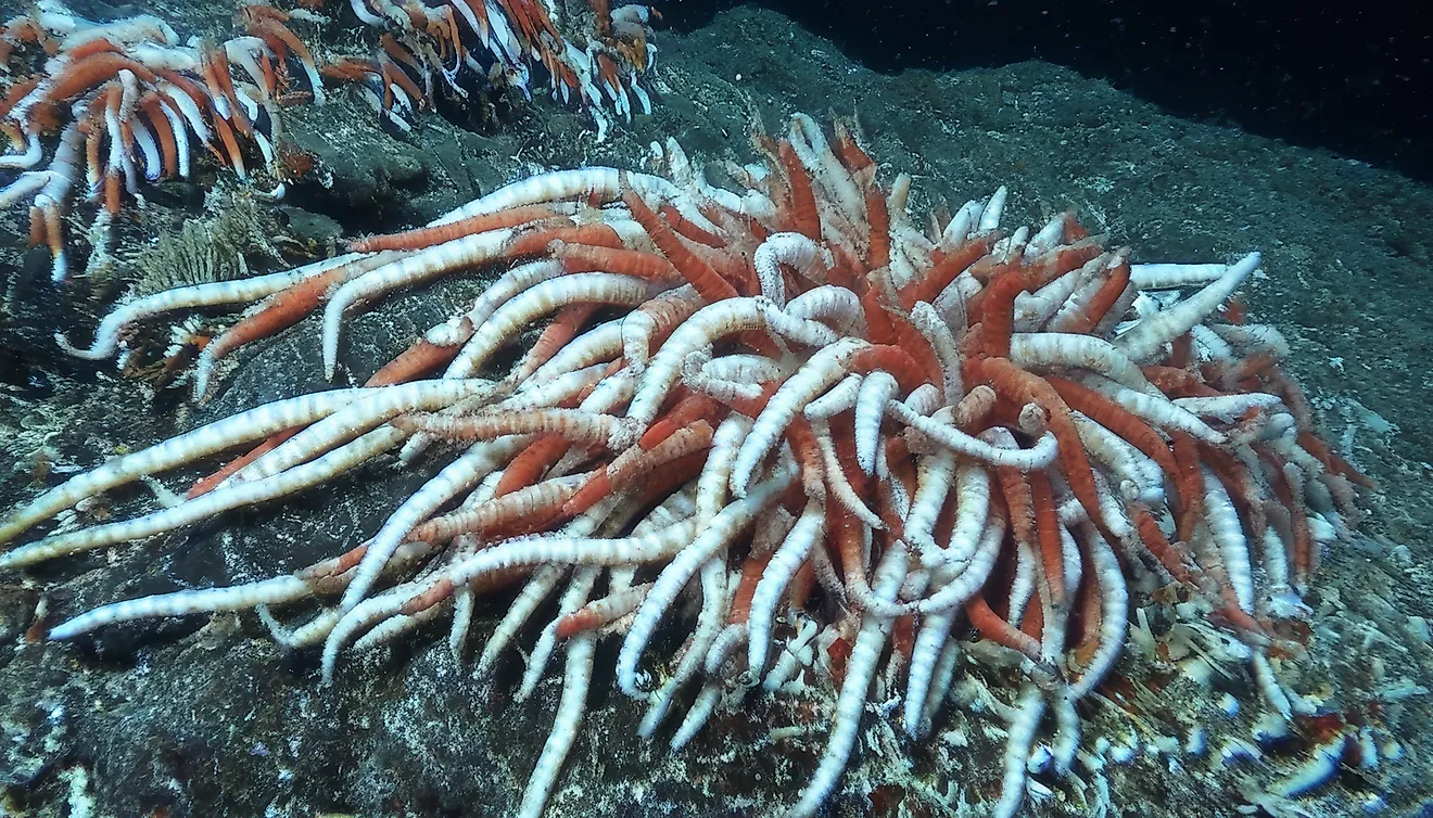
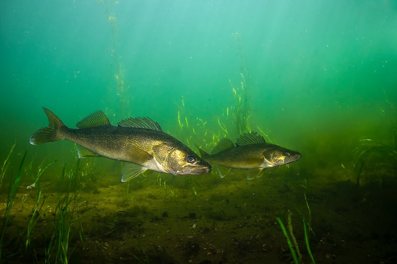
The Bay of Bengal is one of the global 64 largest marine ecoregions. It hosts diverse species of flora and fauna, diverging among estuaries, mangroves, and coral reefs. The bay has over 40 fish species, including scad, anchovy, grouper mackerel, shrimp, tuna, emperor, and shark. Tuna is one of the most caught fish in the Bay of Bengal. Sharks are rare in the bay due to human activities. Silky and tiger sharks are vulnerable and rarely seen. Mammals found in the Bay of Bengal include the Bengal tiger, gray mongoose, chital deer, pangolin, and flying fox.
The Bay of Bengal’s coastal regions features protected area and historical and religious sites. Some of the protected areas include Bhitarkanika National Park (with more than 60 mangrove species), Gahirmatha Marine Sanctuary (hosts saltwater crocodiles, sea turtles, and over 50,000 migratory birds), Teknaf Game Reserve (wild elephants and birds), and Sundarbans National Park (world’s largest mangrove forest).
Human Settlements Along The Bay Of Bengal

The Bay is home to millions of people of diverse cultures and religions, influenced by the bay’s unique features. For centuries, humans have settled and derived their livelihood from the bay, with the first settlement dating back to the Old Stone Age period. Today, several populous cities and settlements are located along the Bay of Bengal.
Kolkata, India, is one of the largest cities near the Bay of Bengal with a population of 4.5 million people. It is India’s cultural capital and home to the oldest operating port. Some other important Indian cities along the bay include Kakinada (384,000 people), and Krishnapatnam (6,000). Colombo, Sri Lankan commercial capital, is another populous settlement along the bay. It his home to about 753,000 people. Chittagong, Bangladesh, has about 8.6 million people within its metropolitan area.
Economy

The Bay of Bengal brings together two geopolitical blocs in Southeast Asia and South Asia; the South Asian Association for Regional Cooperation (SAARC) and the Association of Southeast Asian Nations (ASEAN). Historically, the bay has served as an important trade and shipping route, linking various countries bordering the Indian Ocean. It attracted several trading ventures, including the British West India Company.
Several littorals and landlocked countries around the Bay of Bengal have formed an international organization known as the Bay of Bengal Initiative for Multi-Sectoral Technical and Economic Cooperation to facilitate free trade within the bay.
Besides the international trade and engagement between countries, the bay is also supporting thriving fishing and tourism industries. It supports close to 31% of the world's coastal fisherman. The common catch includes sardine, scad, snapper, tuna, and shrimp. The annual total catch exceeds 4 million tons or $6 billion. Tourism is among the key focus area in the BIMSTEC, with the potential to generate over $200 billion.
|
Feature |
Fact |
|
Surface Area |
2,600,000 km2 |
|
Maximum Depth |
4,694 m |
|
Average Depth |
2,600 m |
|
Maximum Length |
2,090 km |
|
Maximum Width |
1,610 km |