Alboran Sea
Seas are generally defined as portions of oceans that are partially surrounded by land. Covering an area of 57,000 km2, the Alboran Sea is the westernmost arm of the Mediterranean Sea.
It serves as one of the world’s busiest shipping routes because ships passing through the Strait of Gibraltar often pass through this sea to get to their destination. The sea also hosts docking points for British and American submarines and therefore several military and naval bases have been built around the Alboran Sea.
Where Is The Alboran Sea?

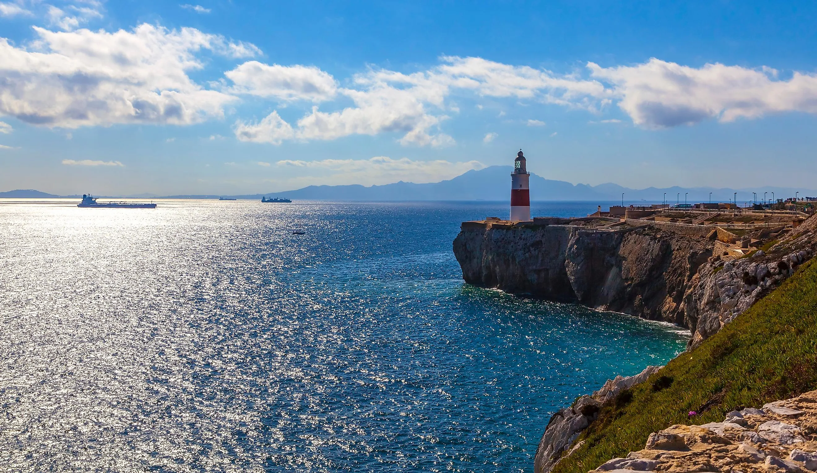
The Alboran Sea is positioned between the Iberian Peninsula and the northern part of Africa. The extreme western part of the Alboran Sea connects the Mediterranean Sea with the Atlantic Ocean through the Strait of Gibraltar. The eastern part of the sea connects Spain’s Cabo de Gata to Algeria’s Cap Fegalo. The Alboran Sea is bordered by Spain in the north, by the British Overseas Territory of Gibraltar in the west, and by Morocco and Algeria in the south.
Geography

The Alboran Sea has a maximum depth of 1,500 m, while its estimated average depth is 445 m. Under the influence of strong winds, the currents in the Alboran Sea flow towards the east and bring the waters from the Atlantic Ocean directly into the Mediterranean Sea via the strait of Gibraltar. However, a deeper subsurface seawater current flows towards the west and carries the saltier water away from the Mediterranean Sea into the Atlantic Ocean. This exchange of seawater happens in the Alboran Sea, in a vertical rotary circulation referred to as a gyre. The Alboran sea also contains some large mountains including the Gibraltar Arc and the Atlas Mountains, which are often referred to as the external zones of the sea.
Numerous small islands are found in the Alboran Sea. These are Islas Chafarinas, Isla de Alboran, Peñon de Vélez de la Gomera, and Peñon de Alhucemas. The Chafarinas islands (Islas Chafarinas) are composed of three smaller islets, Isla del Congreso, Isla Isabel II, and Isla del Rey. These islands have been designated as Important Bird Areas by BirdLife International, as are important breeding sites for the various colonies of seabirds including Scopoli’s shearwaters and the Audouin’s gulls that pass through here. Due to their extremely small sizes, all the Alboran Sea islands are mainly inhabited by military staff.
Wildlife

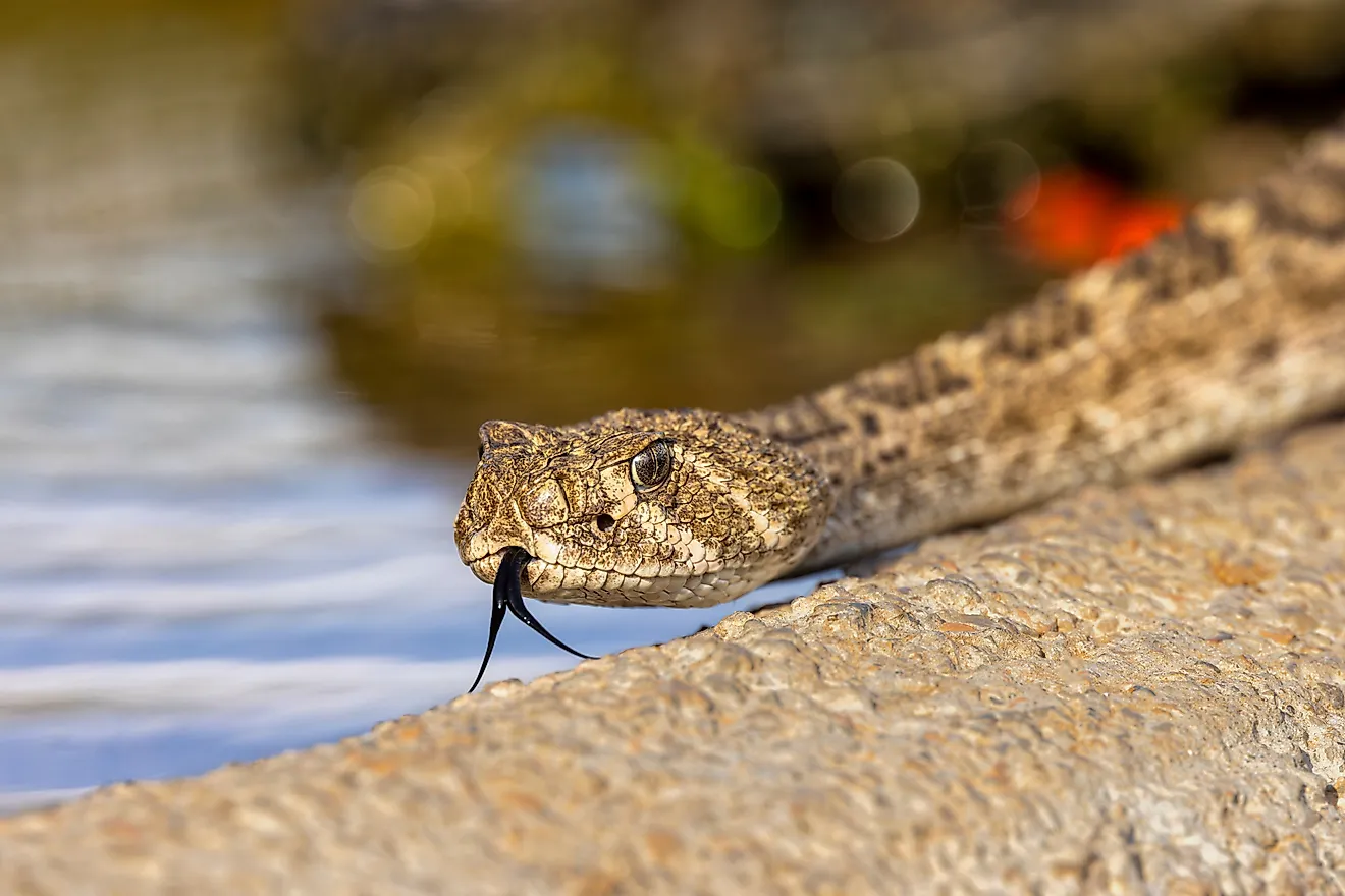
The Alboran Sea functions as a transition zone between the Atlantic Ocean and the Mediterranean Sea and therefore contains a mixture of species from both regions. Also referred to as the “lungs of the Mediterranean,” the sea contains a high diversity of planktons, whose biomass is considered to be the highest in the entire Mediterranean region. Besides this, three seagrass species are also found here. The seagrass beds of Posidonia oceanica provide the main oxygen source as well as a safe shelter and habitat for the varied marine life of the Alboran Sea. Some notable invertebrate species that are found in the Alboran Sea include the Norway lobster and the red shrimp.
It has been estimated that about 300 fish species are found in the Alboran Sea. Some of the commercially important fish that are found here include the barracuda, hake, mullet, ocean sunfish, sardine, and swordfish. About 20 shark species have also been recorded here including dogfish, porbeagle, and school shark. The Alboran Sea has a high cetacean diversity and includes several significant species like sperm whales, killer whales, pilot whales, minke whales, fin whales, Cuvier’s beaked whales, common dolphins, striped dolphins, and Risso’s dolphins. The Sea also supports the largest population of bottlenose dolphins and functions as an important feeding ground for the loggerhead sea turtles in Europe. The Alboran Sea is also home to the only surviving population of harbor porpoises in the western part of the Mediterranean Sea. The northern part of the Alboran Sea hosts numerous coastal and marine protected areas. Fishing and aquaculture are some of the major economic activities that are carried out in the Alboran Sea.