Owyhee River, Oregon
The Owyhee River is a 450 km long river that flows through some of the most remote and untouched lands of the American West. Despite its remote accessibility, the area’s unique desert terrain and picturesque views have made it popular for tourism. The Owyhee River is a recognized whitewater rafting destination, with an early season that has made it especially sought after by adventure sports enthusiasts. Rafting, kayaking, drift boating, and fishing are some of the well-known recreational activities on the river. The area around it also offers camping, hunting, and hiking activities and many people visit the region to study the wildlife that lives in the Owyhee Canyon’s unique terrain.
Course Of The Owyhee River

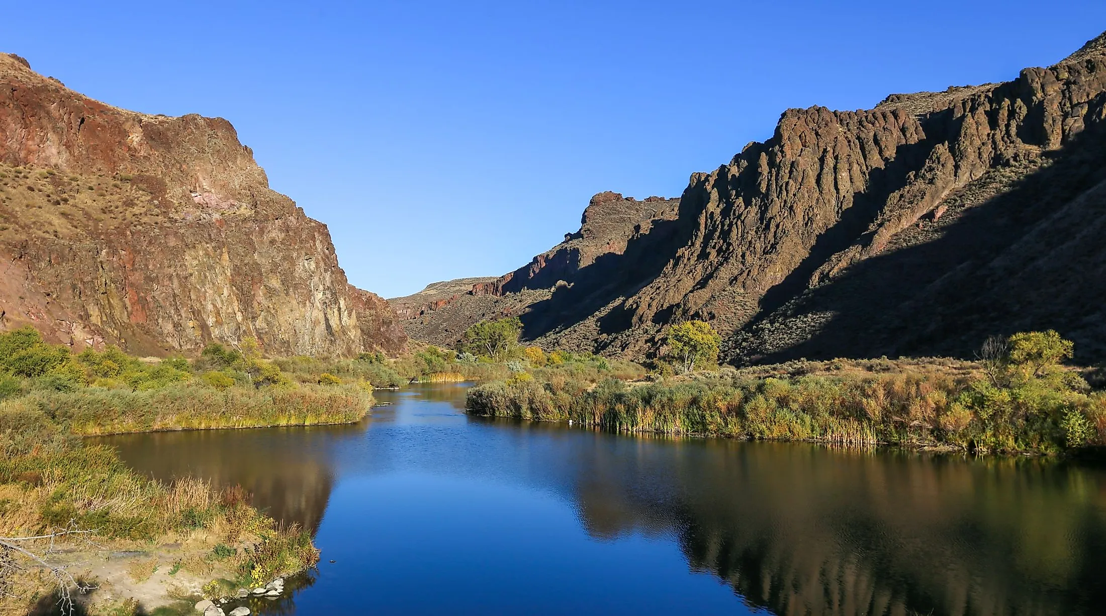
The Owyhee River's flow ranges from slow-moving pools to whitewater rapids. The river's headwaters are located in Elko County, a mountainous region of northeastern Nevada. The river then flows northwards along the eastern edge of the Independence Mountains. It passes through the Wild Horse Reservoir and then through the Humboldt-Toiyabe National Forest, after which it enters southwestern Idaho. In Idaho, the Owyhee River flows northwestwards for approximately 80 km through Owyhee County. About 16 km east of Oregon, the South Fork Owyhee River joins it as the river flows in an irregular flow roughly north.
Through Oregon, its waters are joined by the West Little Owyhee River, then the Middle Fork Owyhee River, and finally the North Fork Owyhee River at a location called Three Forks. Other tributaries include Jordan, Rattlesnake, and Crooked Creeks. About 8 km south of Nyssa, Oregon, near the Idaho border, the Owyhee River joins with the Snake River. The sharp canyons of the Owyhee River can reach over 300 m in height. The canyon walls are largely reddish brown, with cliffs of chalk that erode at a different rate. Much of the land that the river flows through is remote and very sparsely populated. The Owyhee River's drainage basin covers an area of 28,620 sq. km, which is one of the Columbia River drainage basin's largest subbasins.

An area of about 193 km from the Idaho-Oregon border downstream to the Owyhee Reservoir was classified as "wild" by Congress in 1984. The so-called wild river corridor flows from the Idaho-Oregon state line through southeastern Oregon to the Owyhee Reservoir. The region is arid and hot, but the river flows through canyons with deep drops. Because of the shade they provide, the canyon rims become a thriving ecosystem for wildlife, providing a habitat for more than 200 species.
Climate Of Owyhee River Area

The Owyhee River Wilderness area (designated in 2009) incorporates parts of the Owyhee Mountains, and covers 108,000 ha of land from southwest Idaho to Nevada. The region forms a part of the Owyhee Desert, which receives an average of 100 mm of rainfall annually. The region falls under the tropical and subtropical steppe climate classification, under the Koppen Climate Classification System. The warmest month is July, with average temperatures of 20°C and highs of 32°C, and the coldest is January with an average temperature of -2.9°C and highs of 4°C. July is also the driest month, with an average of 10.2 mm of precipitation. In the mountains, there is often snow through the winter, averaging 178 mm yearly in Owyhee County.
Ecology Of Owyhee River

The Owyhee River Wilderness area covers just over 108,000 hectares of land, and the Owyhee watershed incorporates more than 800 km of rivers and streams. A fault controls part of the river valley to the east side of the canyon.The slopes of the Owyhee Canyon walls are covered in sagebrush and grasses as they reach the river's edge. Along with sagebrush, the area is renowned for its wildflowers, including the Bruneau River flox. Over time, the river has exposed the ancient layers of the bedrock, the oldest dating from the Miocene age. The layers consist of reddish rhyolite, dark basalt, sedimentary rocks, lava and alluvial deposits, all of which covered the region in turn as a result of volcanic activity. Water trapped between the layers of volcanic flow collected sediment in lakes, then drained out as streams.

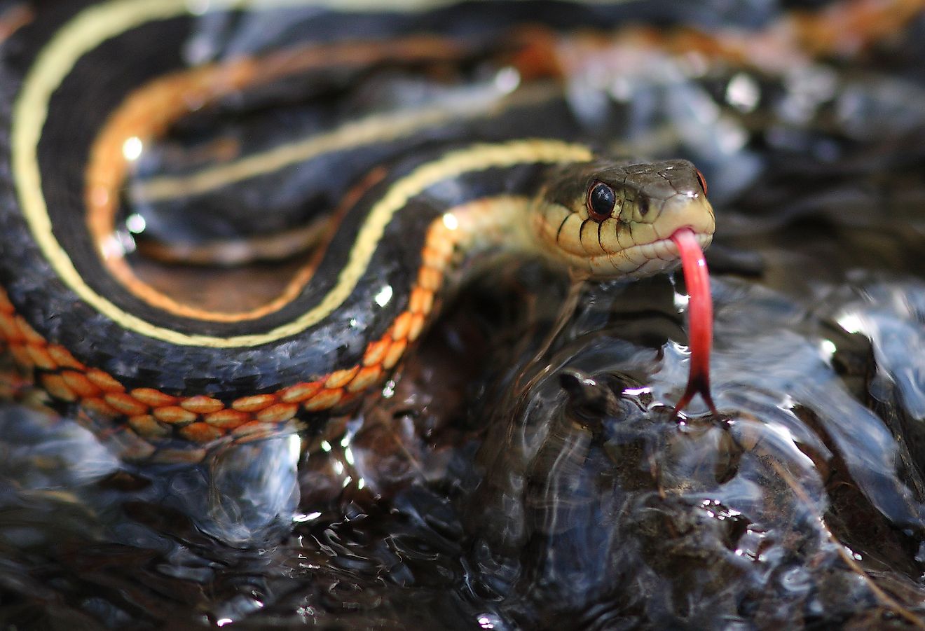
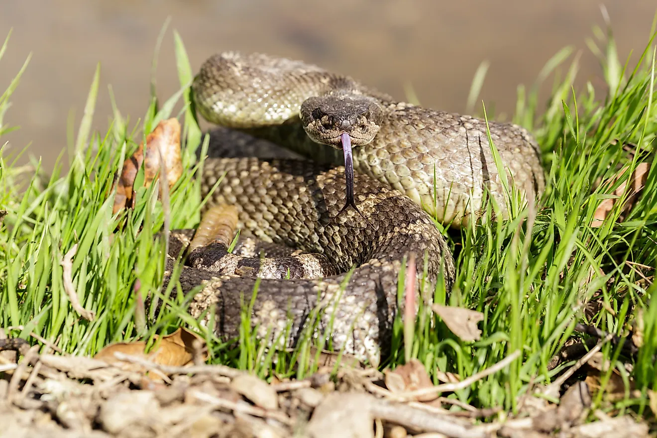
Rainbow trout can be found in the river, along with catfish and smallmouth bass. Prior to the 1930s, when dams were built along the river, the Owyhee was a salmon spawning ground. In the canyons, mule deer, California bighorn sheep, pronghorn, etc., can be found. Many birds make their homes in the Owyhee River Canyon, including Swainson's, ferruginous and red-tailed hawks, American kestrels and northern harriers, prairie falcons, and sharp-shinned hawks. Golden eagles can be found year-round, while bald eagles shelter over the winter in the canyons. Otters, muskrats, and marmots live in and around the river. Cougars and bobcats are at the top of the food chain in the canyons, with plenty of rabbits, raccoons, porcupines and coyotes. The area's rich biodiversity includes 14 species of bats, and an estimated 28 plants that can be found nowhere else.
Brief History Of Owyhee River
The Owyhee River's name comes from an old version of the word Hawai'i. The area was named for three members of an expedition from Hawaii who went missing from the Owyhee Canyonlands in 1820. The Owyhee River area still serve as homeland to several Native American tribes who have inhabited the area for thousands of years, including the Burns Paiute, Fort McDermitt Paiute-Shoshone, Shoshone-Bannock, Shoshone-Paiute, Cayuse, Umatilla and Walla Walla. The famous "Hole in the Ground" petroglyph site is one of the many signs of prehistoric indigenous civilization in the area. There is archaeological evidence of about 100 prehistoric campsites in the area of the Owyhee River between Rome Launch Site and Burnt Creek Ranch.
Early European settlers arrived in the 18th and 19th centuries, and the remains of their ranches can be found in the Owyhee Canyonlands. The Indigenous people were removed from their lands due to friction with the settlers, and the Duck Valley Indian Reservation was created in 1877. In 1933, the Owyhee Dam was constructed about 32 km upstream of its mouth on the Snake River, in northern Malheur County. It created Lake Owyhee, a body of water that winds for about 84 km long. Its purpose was to allow for irrigation for agriculture in Oregon and Idaho. Lake Owyhee State Park and Leslie Gulch are located on the eastern shore of the reservoir. Because of its "wild and scenic" designation, much of the river’s course remains unspoiled territory, along with agricultural lands that produce crops.