Bregalnica River
Located in North Macedonia, Bregalnica is the largest river in the eastern end of the country and holds significant importance. Beginning from mountainous regions and covering a distance of more than 130 miles (210 km), this river is known for its thermal springs and ability to generate hydroelectricity. Moreover, it has a large basin size which makes it pivotal for agricultural industries throughout eastern Macedonia. Despite its economic yield, the river is currently undergoing serious pollution problems, such as high turbidity (lack of transparency). Due to this, many government and private entities are working to preserve and promote Bregalnica in an attempt to restore the beauty of the river.
Source Of The Bregalnica River

The Bregalnica River begins from the Malesevo Mountains in North Macedonia. These mountains are near the Macedonian-Bulgarian border and lay just east of the city of Berovo. At an altitude of approximately 5,545 feet (1,690 m), you can find the river’s source deep in the heart of the mountains. Here, there are many natural springs and a lovely array of nine waterfalls, which are both a scenic attraction and where Bregalnica originates. Slightly further along its journey south of Berovo, Bregalnica is joined by Ratevska Reka River, its largest tributary which accounts for the majority of water flow in the Bregalnica River.
Course and Basin Of The Bregalnica River

After it begins down the Malesevo Mountains, the Bregalnica River covers a total distance of 131 miles (211 km). The river has an average descent of 5% and is divided into three parts throughout its distance. The first section is from the mountainous springs to Istibanja, which is a few miles southeast. Throughout this section, the river has a turbulent flow coming down from the mountains and is predominantly quite straight in its route. After Istibanja, the river slows down, mixing in with shallow rapids, and covers a distance of approximately 25 miles (40 km) southeast until the city of Shtip. Here, the river begins to slow down even further until it enters a lowland area with meandering routes and shallow banks. This begins the final section of the Bregalnica which goes from Shtip into scenic, forest-covered routes all the way to its confluence with the Vardar River. While the Bregalnica River technically ends here, the combined Vardar River further flows into the Aegean Sea.
Testament to its size, the Bregalnica River has a large basin size of 1,662 sq. miles (4305 sq. km), which makes up more than 16% of the Republic of Macedonia. This is thanks to the expansive area covered by the river as well as its many tributaries. The primary tributaries of the Bregalnica River are: Ratevska, Osojnica, Zrnovska, Kozjacka, Otinja, Lakavica on the left, and Zelevica, Kamenicka, Orizarska, Kocanska, Zletovica and Sveti Nikolska to the right.
Climate Of The Bregalnica River

Due to its ranging altitude and surrounding conditions, the climate across the Bregalnica River varies from its source to mouth. Similar to most of the country, the river lies in a hot Mediterranean climate zone according to the Koppen Climate Classification. This zone has hot and dry summers, while winters are much wetter and moderate in temperature. Thus, during summers, the river tends to reach temperatures as high as 105 °F (41 °C) with minimal rainfall. On the other hand, winter months can see temperatures drop to -4 °F (-20 °C) accompanied by a lot of rainfall. In total, the area sees approximately 20 inches (510 mm) of rainfall per year out of which more than 70% is during the cold months of April and May. Snowfall, on the other hand, is seen for four months from December to March.
Flora and Fauna In The Bregalnica River

Thanks to its large basin and diverse surrounding conditions which encompass large forests, mountains, and lowlands, the Bregalnica River is ecologically rich. Specifically, thanks to a combination of climate conditions, geological diversity, and favorable altitude regions, the river is ripe with natural vegetation. Testament to this, you can find more than 25 unique tree species scattered throughout the upper forest regions with many further subspecies. Conversely, the sub-alpine meadows are rich in herbs and grass, of which they cover the majority of the mountainous area of the river. Moreover, there are tens of national endemics which are restricted to the region due to the unique conditions locally. In total, the river helps stop soil erosion and bolsters a forest area of more than 447 square miles (1,157 sq. km.).
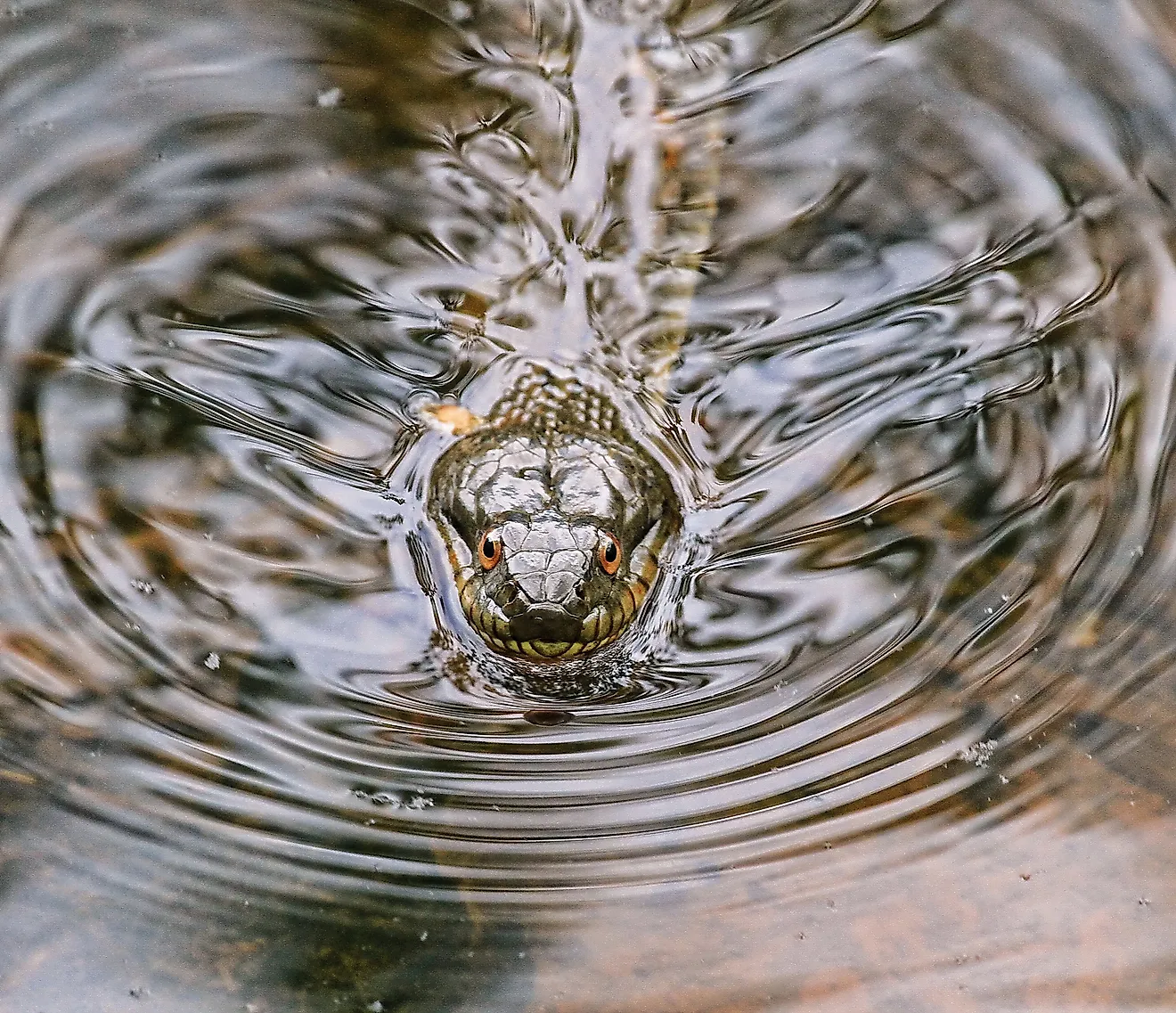
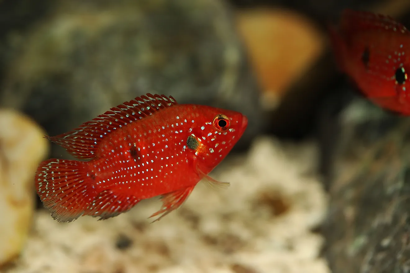
In terms of animal life, the Bregalnica River also supports a vast array of species ranging from high mountainous altitudes to the lowlands before its mouth. These species are spread between amphibians, reptiles, insects, mammals, and birds for an extremely diverse environment. In the upper forest areas, the primary species of mammals that can be found are roe deer, martens, badgers, wild boars, and more. On the other hand, the river itself is home to many fish such as chub, dace, common carp, catfish, and native trout. However, due to immense pollution and the creation of dams, marine life has receded noticeably.
Pollution and Preservation of the Bregalnica River

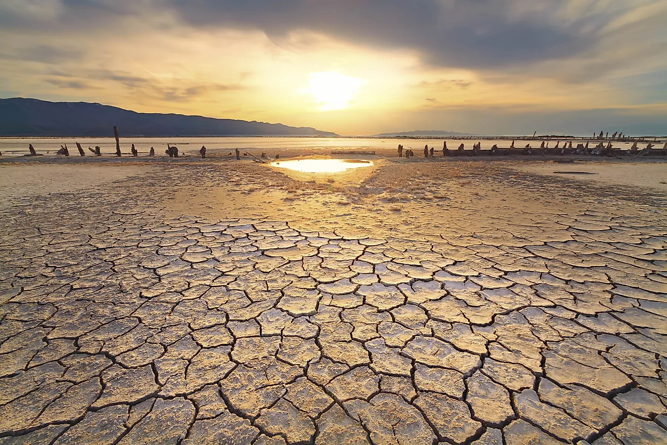
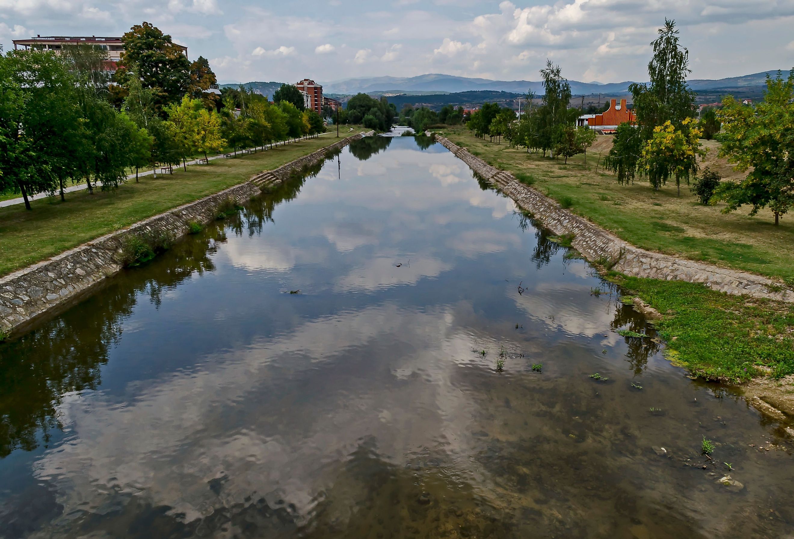
While it may hold immense significance from both an economic and ecological standpoint for the Republic of Macedonia, the Bregalnica River has faced immense pollution-related issues. Most prominently, due to wastewater discharges from both industrial and household sources, the river has gradually worsened in condition. Some of the major industries that dump waste into the river are: food processing, metal processing, construction, leather, and also mining. This leads to many heavy metals being released into the water which is affecting both the ecological life and environmental protection provided by the river. Moreover, while the river has seven water treatment plants, only one is currently active which isn’t able to offset the pollution. Due to this combination of negative conditions, the river has also lost its clear water and now has high turbidity, which makes it nearly opaque in terms of visibility.
Thankfully, in recent decades, the Macedonian government has taken measures to work towards the revival of the Bregalnica River. Specifically, the combination of the Bregalnica River Basin Management Plan (RBM) and the Small Water Infrastructure (SWI) Projects have been undertaken. The RBM aims to understand and analyze the current condition and possible solutions to improve conditions in and around the Bregalnica River. Similarly, the SWI works to create an investment fund that can finance water infrastructure projects and work towards the treatment of water pollution in the river.
The Bregalnica River is a beautiful meandering water body that spans a wide range of altitudes, biomes, and regions. It is essential for hundreds of animal and plant species while also playing a substantial role in the preservation of North Macedonia’s environment and energy. While pollution from local industries has led to major issues in the river’s biodiversity and turbidity, the government aims to revive Bregalnica’s former glory and optimize it for future growth.