Lafayette County, AR, USA
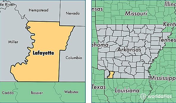
Lafayette County is a county equivalent area found in Arkansas, USA. The county government of Lafayette is found in the county seat of Lewisville.
With a total 1,411.75 sq. km of land and water area, Lafayette County, Arkansas is the 2021st largest county equivalent area in the United States. Home to 7,111 people, Lafayette County has a total 4316 households earning 29732 on average per year.
Lafayette County, Arkansas - Quick Facts
| FIPS Code | 5073 |
| Area Codes | 870 |
| Time Zone | CST |
| Major Cities | Stamps (population: 2,569), Lewisville (population: 2,325), Bradley (population: 1,280), Buckner (population: 798) |
| Land Area | 2,746 sq miles |
| Water Area | 528 sq miles |
| Household Income | $29,732 |
| Housing Units | 4,316 |
| Median Home Value | $52,200 |
| High School Grads | 78% of population |
| Holders of Bachelors Degrees | 11% of population |
| Retail Spending | $4,257 per capita |
| Food & Accomodation Sales | $1,519 per capita |