Gulf of Penas
The Gulf of Penas is located to the west of Chile, South America. It is an important gulf for shipping to the region, however the sea’s depths can make anchoring difficult in the area. Native and colonial explorers visited the islands scattered throughout the gulf, although, none of the islands ever sustained a large animal or human population. This article will explore the often overlooked Gulf of Penas and its history.
Location of the Gulf of Penas
The Gulf of Penas is a large body of water located southwest of Chile. It is in the far south and is one of the closest gulfs to the tip of Antarctica.
Being approximately 5-6,000 miles from the inlet of Antarctica means it can become very cold. This differs from what many North Americans think of when considering South American countries!
The gulf is broad, stretching 55 miles (89 kilometers) inland and about 50 miles across (80 kilometers). The Guayaneco Islands are the most important islands within the Gulf of Penas. The Taito peninsula is located to the north, and snowy mountain regions surround most of the Gulf of Penas on the mainland.
The Climate of the Gulf of Penas
The climate of Chile spans several different environments, including the Mediterranean, rainforest, Zona Sur (temperate oceanic), and Zona Austral (subpolar oceanic). These different climate zones mean Chile experiences very warm and rainy weather as well as cold and dry weather.
Northern Chile experiences warm, tropical weather, with Easter Island being one of the most popular tourist spots in this region. Central Chile experiences warm, dry weather most of the year. However, unlike in most parts of the world, the further south you travel in Chile, the colder it gets.
The Gulf of Penas rests within Zona Austral, which is only a few thousand miles north of the shores of Antarctica. The gulf does not experience much rain or extreme weather, and even the temperatures do not usually drop below freezing.
Storms and Weather Patterns
The Gulf of Penas does not experience extreme storms or weather patterns. While it carries winds inland, they rarely become dangerous storms or wind gusts.
Much of southern Chile is cool, and snow sometimes accumulates in the Andean Mountains surrounding the region. Although, the Gulf of Penas rarely experiences ice and snow due to some warm northern winds balancing the chilly winds from the south.
The Gulf of Penas rarely drops below 1 degree Celsius (34 degrees Fahrenheit). The summer months do not typically rise above 9 degrees Celsius (48 degrees Fahrenheit), spanning between October and April.
Seasons
Much like other South American nations, Chile does not have the four clearly defined seasons many in the northern hemisphere experience. Temperatures, weather patterns, and rainfall totals vary depending on where one happens to be in the country. Southern Chile experiences between 72 millimeters-90 millimeters per month (2.8-3.5 inches).
Flora and Fauna of the Gulf of Penas
The southern portions of Chile have heartier plant and animal life because they experience dryer, colder temperatures. Parts are considered desserts, or tundra, owing to the low rainfall and somewhat arid landscape.
However, some of the most common animals found in these areas are South Andean Deer, sea lions, baleen whales, southern right whales, South American Gray foxes, and marine otters. Some of these animals, including the deer and foxes, are primarily found on the mainland.
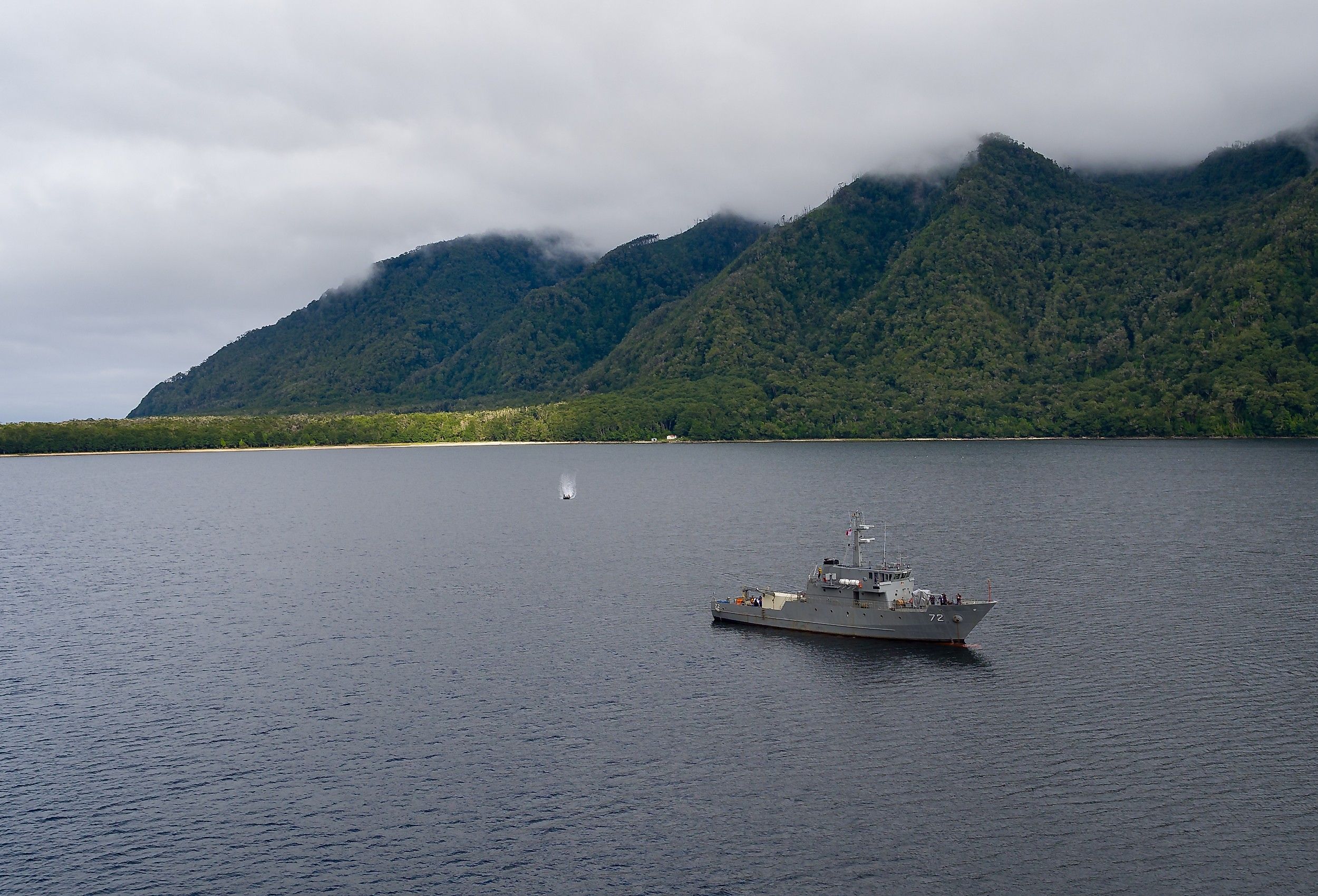
Furthermore, the Gulf of Penas is home to rare whale species and various types of seals, otters, and sea lions. Owing to the cool temperatures of the water and the relatively calm nature of the gulf, this place is known as a whale calving ground.
There is not much in the way of plant life in the area, especially in the gulf itself. However, the Guayaneco islands do have some trees and grasslands, especially on the larger islands in the chain.
Islands and Geographic Features of the Gulf of Penas
The Guayaneco islands are the most prominent features of the Gulf of Penas. The largest islands in the Guayaneco Archipelago are Wagner Island and Isla Byron. The region also contains many smaller, less prominent islands.
There are two important channels in the Guayanceco Archipelago: the Fallos and Massier Channels. The Messier Channel is one of the deepest in the world, reaching a depth of 1,358 meters (4,455 feet).
The Fallos Channel is much wider than Massier Channel, stretching approximately 2 miles across (over 3,000 meters). It would be an ideal place for ships to travel through to get into the Gulf of Penas if it were not so deep.
Conclusion
The Gulf of Penas is a fairly large gulf off the coast of Chile. The weather and temperatures are not too extreme despite being rather far south. The Gulf makes for a good spot for ships to come to shore in Chile.