Baydaratskaya Bay
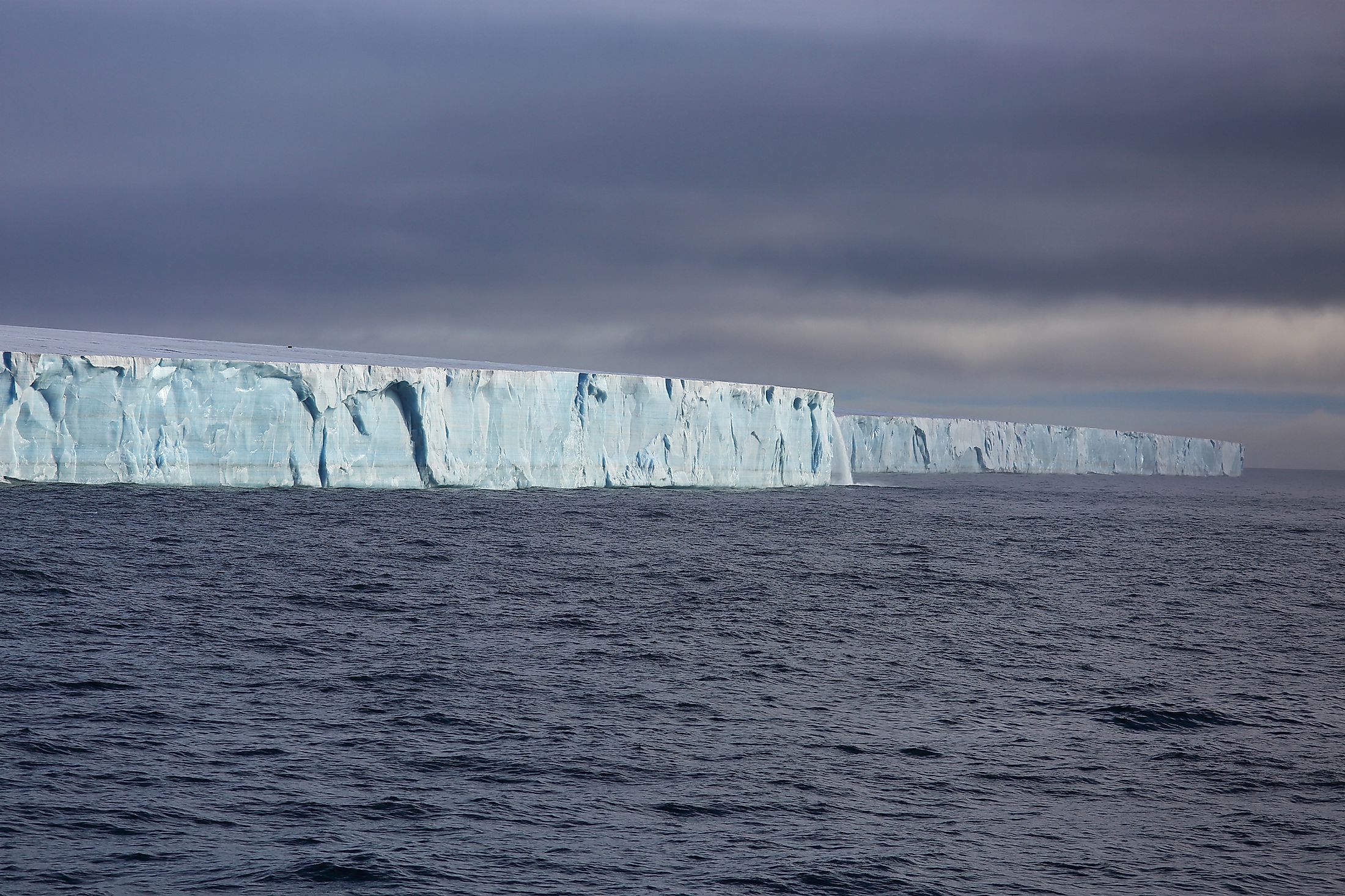
Also referred to as Baydaratskaya guba in Russian, Baydaratskaya Bay is a large, shallow, semi-enclosed bay situated in Northern Russia at the Kara Sea’s southwestern portion. It is believed that the present-day Baydaratskaya Bay formed due to Holocene transgression when the eustatic sea level rise surpassed the more or less stable vertical uplift of the Earth’s crust in the region. The bay is considered one of the four lithoynamic areas in the southwestern section of the Kara Sea that, in terms of coastal dynamics, ranks among the best-studied polar regions. Abrasional and accumulative coasts are alternately found along the bay’s modern coastline.
Geography Of Baydaratskaya Bay

Located to the south of the Kara Sea, Baydaratskaya Bay is placed between the coastline of the Polar Urals Mountain Range, the northern extremity of the Ural Mountains, and the Yamal Peninsula. The gulf has a length of approximately 111.8 miles, a mouth width of 48.4 miles, and reaches a depth of up to 65.6 ft. The Baydaratskaya Bay receives significant inflows from the Baydarata, Yuribey, and Kara Rivers. The bay also houses several uninhabited islands: Levdiyev Island, Litke Island, and Torasovey Island.
Climate Of Baydaratskaya Bay
Due to its extreme northern location, Baydaratskaya Bay experiences a severe arctic climate. The average annual air temperatures range from -7°C to -10°C, while the thickness of the permafrost on the coasts is over 50 to 100 m. The bay’s surface water temperature ranges from 5 to 6°C in summer. During winters, the surface water remains completely covered with ice, while the central part of the bay remains covered by drifting sea ice. The region experiences frequent strong winds and storms. The sea ice can move and break due to the strong winds and intense waves in the Kara Sea. Therefore, all logistic deliveries to the Baydaratskaya Bay coast are mostly done during summer and ends in October when the surface water begins to freeze. Sea transport never passes the Baydaratskaya Bay coast during the winter months.
Baydaratskaya Bay Crossing Project

PJSC Gazprom, a state-owned multinational energy corporation headquartered in Russia’s Lakhta Center, has planned the construction of four pipelines and two cable crossings at the Baydaratskya Bay. This project aims to exploit the Yamal Peninsula’s Bovanenkova and Harasawejskoje gas fields. The Baydaratskaya Bay underwater crossing consists of 8 parallel lines of 1220 mm gas pipelines. The trajectory of the pipeline is expected to continue till Uktha, an important industrial city in North Western Russia’s Komi Republic. The Bovanenkova-Uktha gas mainline system forms a part of the Yamal-Europe gas mainline project for supplying natural gas to the gas transport network of Central Russia and Western Europe. The Russian pipe lay company MRTS was awarded the pipeline installation contract, while MRTS subcontracted Boskalis Offshore for dredging and backfilling the pipeline trenches. The overall project covered the dredging of a 40 km long trench about 7 km offshore from the Yamal Coast to 21 km offshore from the Ural Coast.
Till the beginning of the construction of the underwater portion of the gas pipeline, the Baydaratskaya Bay area was not subjected to any anthropogenic activities. However, from 2013 onwards, an extensive ecological shift in the deep-sea area close to the pipeline trench was observed. The most likely cause of this change was a direct impact of the dumping and dredging of sediments during pipeline burial from 2012 to 2013. This catastrophic change also indicates the high sensitivity and vulnerability of the Baydaratskaya Bay ecosystem.


