Which Is The Largest Great Lake?
North America is home to a series of five interconnected freshwater lakes known as the Great Lakes. The Great Lakes, which are situated partly in the northeastern United States and southern part of Canada, account for 21% of all the freshwater on earth. Cumulatively, the lakes cover an area of 94,250 square miles and contain 5,439 cubic miles of fresh water. Located in the western-most part of the group is Lake Superior. As its name suggests, this lake is the largest of all, based both on surface area as well as volume.
History
The lakes were formed during the earth’s most recent glacial period, about 12,000 years ago after basins left behind as the ice retreated towards the North Pole, filled with water. The shores of Lake Superior have been inhabited since the last Ice Age, with its earliest inhabitants, known as the Plano people, living in the region about 10,000 years ago. The region’s most dominant native tribe, the Ojibwe, named the lake as Gitchi-Gami, which translates to “the Great Sea.”
Description
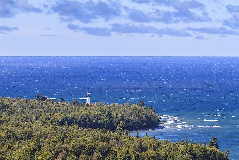
Lake Superior is both the western-most and northern-most of the Great Lakes. The lake is mutually shared by the states of Minnesota and the state of Wisconsin in the US and the province of Ontario in Canada. The surface area of the lake measures 31,700 square miles, eclipsing any other freshwater lake in the world. The amount of water in the lake is mind-boggling; estimated to be 2,900 cubic miles and only surpassed by Lake Baikal in Siberia and Lake Tanganyika in East Africa. The lake has enough water to cover both North and South America in 12 inches of water.
Geography
Over 200 rivers drain into Lake Superior. Some of the major tributaries that feed the lake are the Kaministiquia River, the Pigeon River, the White River, St. Louis River, the Pic River and the Nipigon River. Lake Superior has only one outlet that drains its water into Lake Huron, the St. Mary River. Water levels in the lake fluctuate throughout the year, but peak between October and November and are at their lowest between March and April. There are numerous islands found inside the lake, with the significant islands being Isle Royale, Grand Island, Madeline Island, and the Michipicoten Island. The largest of the islands is Isle Royale. An interesting fact about Isle Royale is that the island has lakes in it, and some of these lakes contain islands. The lake’s total shoreline measures 2,726 miles in length when all its islands are included. The lake has a catchment area covering 49,300 square miles.
Economic Activities
The most significant economic activity in Lake Superior is water transport. For centuries, the lake has been part of the Great Lakes Waterway through which millions of tons of cargo are ferried. Hundreds of vessels navigate the waters of Lake Superior each year, with its immense volume enabling the lake to handle substantial lake freighters. However, shipping on the lake is closed between January and March, as low temperatures cause the lake waters to freeze solid. To facilitate this water transport are several ports found around the lake, including Duluth and Superior ports in the United States, and Thunder Bay in Canada.


