The Highest Major River In The World
Where Does The Yarlung Tsangpo River Originate?
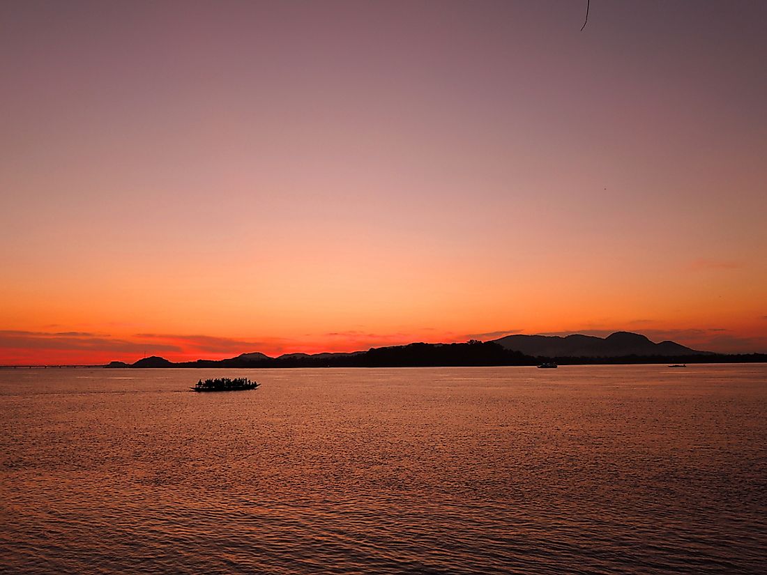
The Yarlung Tsangpo, a river that originates in Tibet, is regarded as the highest major river in the world. It is also the longest river in Tibet. The river rises southeast of Lake Manasarovar and Mount Kailash before cutting through the Tibetan plateau and mountains forming the South Tibet Valley and the Yarlung Tsangpo Grand Canyon.
The Complete Course Of The Yarlung Tsangpo River
The Yarlung Tsangpo River’s longest tributary is the Nyang River, Lhasa River, Parlung River, and Nyangchu River. The river in Tibet flows along the 1,200 km long and 300 km wide South Tibet Valley. Its elevation ranges from 4,500 meters above sea level at its highest point to 3,000 meters above sea level at its lowest.
After flowing through Tibet, the river enters the state of Arunachal Pradesh in India. Here the river widens phenomenally and is called the Siang. The Siang River, upon entering the Assam state of India, becomes the Brahmaputra River. The Brahmaputra then enters Ramnabazar in Bangladesh. From Ramnabazar, the Brahmaputra would flow eastward to join the Meghna River which would then meet the Ganges. However, this old channel is now drying up and a new main channel has opened up. The main channel is called the Jamuna River. It meets the famous Ganges River and finally flows into the Bay of Bengal in Bangladesh as the Padma River.
The Surrounding Landscape
The river begins high in the Tibetan Plateau with its basin bounded by the Himalayas in the south and the Nyenchen Tanglha Mountains and the Kang Rinpoche mountains in the north. As the river descends, the landscape of the river basin changes from a cold desert one at the higher elevations to arid steppe and further down to deciduous scrub vegetation and finally to conifer and rhododendron forests. The tree line here is at an elevation of about 3,200 meters. Most of the population of the Tibetan Autonomous Region of China lives in this river basin.
Waterfalls Of The Yarlung Tsangpo River
Three major waterfalls lie along the course of the Yarlung Tsangpo River. The largest among these is the "Hidden Falls” which is associated with mystery and legends. It is said that stories related to this fall were often told to early Western explorers by Tibetan monks and huntsmen but the explorers failed to find the falls at that time. It was not until 1998 that the existence of the falls was highly publicized in the West and it was referred to as a “discovery.” However, Chinese authorities were highly displeased with such claims as they protested by saying that Chinese geographers had already captured photographs of the falls as early as 1987.
An Adventurous Destination For Kayakers
Several expedition teams have tried to explore the course of the Yarlung Tsangpo River. It is an attractive destination for kayakers who are ready to go to the extreme and test their skills, although they may end up risking their lives in the process. Whitewater kayaking at the Yarlung Tsangpo River has been attempted by several teams. Some have ended in tragedy. For example, the first attempt at such activity on the river was made by a Japanese group in 1993 who lost one member on the river. In October 1998, the National Geographic Society sponsored a kayaking expedition on the Yarlung Tsangpo River. Unexpected extreme conditions on the river once more claimed the life of another kayaker. It was in 2002 that another team managed to successfully complete the first descent of the upper Tsangpo gorge section. For its extreme conditions, the Yarlung Tsangpo River has often been referred to as the “Everest of Rivers.”


