Where Does The Aleutian Range Start And End?
The Aleutian Range is a 1,600-mile-long volcanic mountain range located in the southwestern part of Alaska's US state. The range begins at Lake Chakachamna, extends west along the Alaska Peninsula, and ends at Unimak Island. Although a submerged section below the Aleutian Islands is sometimes considered an extension of the range, the Aleutian Range officially only includes the peaks on Unimak Island and the mainland. The highest peak in the range is Mount Redoubt, an active volcano with an elevation of 10,200 feet above sea level. The Aleutian Range is part of an active volcanic belt in the Pacific Ocean. Other notable volcanic mountains in the range include Mount Katmai and Mount Veniam, which have 6,715 feet and 8,225 feet, respectively. The range consists of a vast wilderness with no roads and is only accessible by boat or plane. The Aleutian Range is named after the Aleut, who are the indigenous people of the Aleutian Islands.
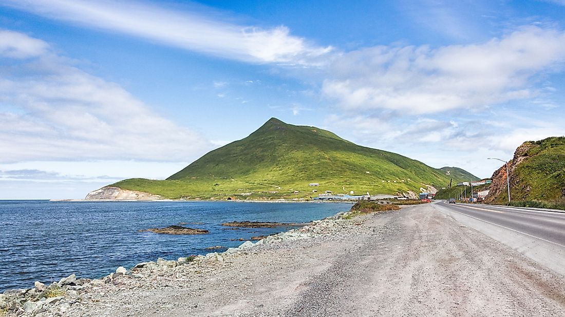
The Aleutian Islands
The Aleutian Islands, formerly known as Catherine Archipelago, are made up of nearly 300 islands, some of which are volcanic. The islands form the boundary between the Pacific and Eurasian tectonic plates. The Aleutian Islands are believed to have formed a land bridge between Alaska and Asia when the sea level was low during the ice age.
Volcanic Activity in the Aleutian Range
Historically, the range has experienced significant volcanic activity, including Mount Okmok on July 12, 2008, which shot a massive cloud of ash and gas to a height of 50,000 feet, and lasted nearly one month. Another eruption occurred on Mount Kasatochi on August 8, 2008, which produced a gas cloud that reached an estimated height of 49,212 feet and interrupted flights in the surrounding area. The recent increase in seismic and volcanic activity is noted as the highest in 26 years. Three volcanoes in the range are currently rated at the yellow alert level. In contrast, three others are rated at an orange alert level, which is used to classify volcanoes with unusually high unrest levels and those with a high likelihood of an eruption.
Earthquakes in the Region
The Aleutian Range is also a source of significant seismic activity, including the Aleutian Islands earthquake of June 2014, which occurred at a depth of 66.5 miles. The earthquake was a result of oblique faulting on the Aleutian Trench.
Strategic Significance of the Aleutian Range
The inhospitable Aleutian Islands are of significant strategic value to the US due to their proximity to Japan and Russia. Amchitka Island was utilized for underground nuclear tests between the years 1965 and 1971 due to its remoteness. The island also hosts facilities that are part of the Distant Early Warning system built between 1950 and 1961.
Tourism
The Aleutian Islands are mostly treeless, but tourists can visit the Aleutian National Wildlife Reserve and enjoy unparalleled fishing, agate beaches, and birdwatching. Tourists can also visit Aleut villages in the region.


