Where Are the Nyenchen Tanglha Mountains Located?
The Nyenchen Tanglha Mountains is a range that extends across a distance of about 700 km in the Tibet region of South Asia. The range is part of a parent range, the Transhimalayas, that runs parallel to the main Himalayan Range and runs north of the Yarlung Tsangpo River.
Description of the Range
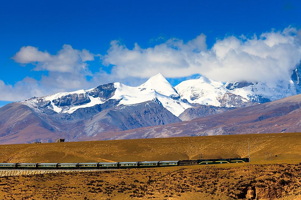
Precipitous slopes define the southern side of this mountain range, while the northern part is less steep. The southern side of the mountain drops by about 6,600 ft, while the northern slopes drop by 3,300 ft. Elevations within the mountain range are usually less than 21,300 ft. The region is also highly glaciated, and the range is covered by 7080 glaciers. The mountain range is the source of the Drukla Chu river, which is also known as the Song Chu. After its confluence with the Gyamda Chu river, the combined rivers flow for a distance of about 100 km before finally joining the Yarlung Tsangpo river.
Subranges
The Nyenchen Tanglha Mountains range can be divided into two main divisions: the West Nyenchen Tanglha and East Nyenchen Tanglha subranges. The two subranges are separated by a 17,822 ft high pass named Tro La, which is located close to Lhari Town.
West Nyenchen Tanglha
The West Nyenchen Tanglha subrange is part of the Yarlung Tsangpo’s watershed in the north and is drained by the river's largest tributary, the Lhasa River. The endorheic basins of the Changtang are located north of the range. The highest peak in the subrange is the 23,497 ft tall Mount Nyenchen Tanglha, which is also the highest peak in the entire range. The three other tallest peaks of the subrange are also the second, third, and fourth tallest summits in the entire range.
East Nyenchen Tanglha
The East Nyenchen Tanglha subrange acts as the barrier between the two watersheds of the Nak Chu river (north) and the Yarlung Tsangpo (south). More than 240 peaks in the subrange have elevations greater than 20,000 ft. Sepu Kangri is the tallest peak in the subrange. The area is heavily glaciated, and 32 glaciers have a length of more than 10 km. The Kyagquen Glacier is the largest glacier in the subrange, and covers an area of 207 square km. Most peaks in the subrange are unconquered due to the remoteness and harsh climate of the mountains.
Highest Peak of the Nyenchen Tanglha Mountains
As mentioned, Mount Nyenchen Tanglha is the tallest mountain in the range, and is located south of Namtso Lake in Tibet’s Damxung County. The mountain is considered sacred by the Tibetan people and is mentioned in many local folktales and legends.
Nyenchen Tanglha has three main summits above 7,000m, all of which are located on a northwest-southeast ridge. All three main summits were climbed between 1986 and 1995.


