The Climate of Brunei
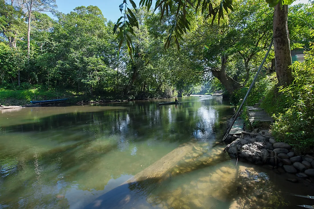
Brunei is a country located in South East Asia, on Borneo’s northern coast. The country has a coastline along the South China Sea to the north and shares its boundary with Sarawak (a Malaysian State) on the remaining sides. Sarawak divides the country into two parts which are unequal in size. The western part is larger and is home to the nation’s capital city, Bandar Seri Begawan. The country's landscape is comprised of a narrow coastal plain to the north and rugged hills to the south. Pagon peak in the southeast is the highest point at 6,070 feet. The main rivers include Tutong, Belait, and Brunei rivers to the west and Temburong and Pandaruan rivers to the east. All river systems in the country flow northward to the South China Sea. The soils are profoundly weathered and generally infertile. Fertile alluvial soils can, however, be found along the rivers in parts of the coastal flood plain.
Climate Conditions
Brunei experiences a tropical climate with high humidity. The climate is usually uniform in the whole country. Brunei has hot weather all year round. The climate is typically affected by different factors including its location on Borneo's northwest coast which is in the equatorial tropics, monsoon winds as well as other wind systems in the region resulting from the distribution of atmospheric pressure in Southeast Asia. The area close to the equator experiences low pressure "trough” and is normally referred to as ITCZ (Intertropical Convergence Zone), while areas in the subtropics on both hemispheres experience high pressure leading to a pressure difference. The Intertropical Convergence Zone is therefore critical as air masses from the southern and northern hemispheres converge in the area leading to dramatic climatic changes. It is important to note that the position of the ITCZ is not usually stationary; its position oscillates depending on the Zenithal position of the sun. The movement, however, lags some two months behind, and the magnitude of the latitudinal oscillation is lowered to about half that of the sun. Shift in the position of the ITCZ in the year, and the related "Trade" winds results in two major seasons in the country which are separated by two transitional periods.
During the months between December and March (Northern Hemisphere winter months) the South China Sea and Borneo are significantly affected by northeast monsoon winds that re-curve through the Inter-Tropical Convergence zone to become northwesterly winds which blow over Indonesia. The general position of the ITCZ is between latitude 50S and 100S having moved south across Brunei and Borneo during late December, a period that is usually referred to as Northeast Monsoon. Between June and September, the Inter-Tropical Convergence Zone is located around latitude 150N east of the Philippines but changes to a monsoon-trough to the west. Southeast trade winds originating in the southern hemisphere also re-curve on the equator and form the Southwest Monsoon. Between December and March, the northeast monsoon is prevalent while the southwest monsoon blows between May and September. The months of April, October, and November are regarded as transitional months. There are also easterly winds that lead to significant climatic changes.
Temperatures
The temperatures remain warm for most of the year with daily temperatures varying between the mid-70s degrees Fahrenheit to about 90 degrees Fahrenheit. May and June are the hottest months in the year, with temperatures rising as high as 104 degrees Fahrenheit. People who are not used to living under such high temperatures may feel very uncomfortable. The humidity in the country is generally high all year round.
Precipitation
The average precipitation is about 115 inches per year in coastal areas and can exceed 150 inches of precipitation in areas further inland. The heaviest rainfall is experienced between October and January while lighter precipitation is experienced from March to August. Although rainfall tends to occur for short periods, it is typically heavy and therefore increasing the risk of flash floods in some areas. Despite the high temperatures experienced throughout the nation, the country does not have a dry season. The months between February and April are the driest as they experience less rainfall compared to other months. The mean monthly precipitation indicates seasonal patterns with two minima and two maxima. The first maxima take place between late October and January with December being the wettest month. The second maxima take place between May and July with the wetter month being May. The seasonality is as a result of two monsoon seasons coupled with the movement of the Inter-Tropical Convergence Zone as well as the influence of localized circulations on land and sea. The first minima commence in late January and end in March while the second minima commence from early June to the end of August.
Environmental Hazards
The country is not prone to national disasters as it is outside the typhoon belt and also mostly goes unaffected by earthquakes which make it a relatively safe place to live and work. The nation’s warmer climate is attractive to expatriates who come from countries with temperate climates and who wish to avoid cold winters. The climate is also ideal for outdoor activities and water sports.