Yellow River (Huang He)
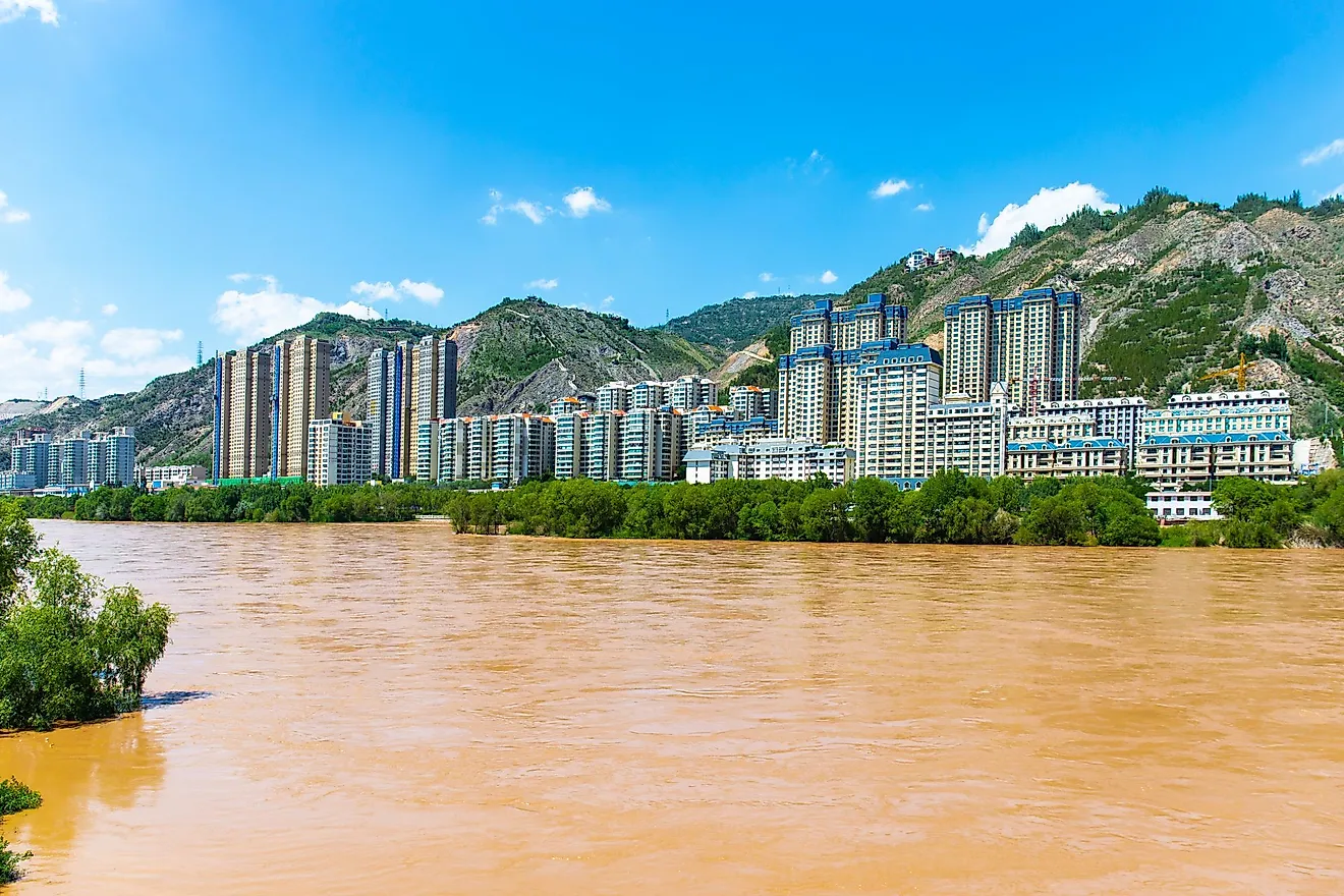
The Yellow River flows from the west to the east of China, making a large curve through its northern provinces. As the second-longest river in China, after the Yangtze River, and the sixth-longest river system in the world, it passes through nine Chinese provinces of Qinghai, Sichuan, Gansu, Ningxia, Inner Mongolia, Shaanxi, Shanxi, Henan, and Shangdong. The river is 5,464 kilometers in length, with an average discharge volume of 2,571 cubic meters per second and a maximum of 58,000 cubic meters per second, draining an area of 752,546 sq. km.
Being the "cradle of the Chinese Civilization”, the Yellow River is also known by various names such as "China’s Sorrow", "the Ungovernable" etc. Another reason for such a depressing name of the main river system of the country lies in its potential to cause devastating floods. Throughout its known history, the Yellow River has flooded about 1,593 times, besides making 26 minor and 9 serious course changes.
Sources, Tributaries, And Drainage

The Yellow River sources from the Bayan Har Mountains adjacent to the eastern edge of Qinghai’s Yushu Tibetan Autonomous Prefecture and drains into the Bohai Sea, the innermost extension of the Yellow Sea, partially contributing to its golden color. Its left tributaries include the Fen River along with several other small rivers.The right tributaries are the Wei River and Tao River along with other smaller rivers.
Flora And Fauna

The river’s waters provide enough supply for the country’s agricultural activities, with most of the fertile land of the regions around the river in use for wheat agriculture.
The lower foothills and grasslands have adequate vegetation for feeding livestock, while the highlands through which the Yellow River flows have sparse vegetation, reminiscent of tundra. The Ordos Plateau in the north also goes by the name Ordos grasslands, although its dry climate with shifting sands can only support drought-resistant grasses and shrubs.
Forest coverage is minimal in the south, but various conifers, such as the Japanese red pines (Pinus densiflora) and oaks, among other hardwoods provide some shielding of its northern shores.
Small populations of horned animals, including the rare chiru/Tibetan antelope and wild yak can be found roaming along the north reaches of the river. Chinese forest musk deer (Moschus berezovskii) and sikas prefer the southern slopes.
Most commonly found in the delta area, the low-lying wetlands provide important stopovers for migratory waterfowls and other endangered avian species like the scaly-sided (Chinese) mergansers and the rare red-crowned cranes, among other birds and migrating waterfowl.
The Chinese paddlefish and the Yellow River scaleless carp are some of the major aquatic species that are found in the Yellow River.
The Floods

There have been many major floods caused by the silt build-up in the Yellow River, which went down in history as some of the most disastrous floods in the world. The flood between 1332 and 1933 took the lives of 7,000,000 people; the flood of 1887 killed between 900,000 and 2,000,000 people; the flood of 1931 was the most devastating, when 1,000,000 to 4,000,000 people have fallen victim to the river’s superpowers.
The main culprit of these floods lies in the fine-grained, nutrient-rich, yellow sediment, called loess, which collects rapidly on the seabed, gradually raising the waters of the river. Eventually, the waters spill onto the shore, break dams, and carve their own courses through the country’s mainland. Aside from flooding everything in their path, destroying homes and livestock, the flow of the river is unpredictable, in that it can change suddenly, which makes it even more dangerous.
Notes From History

The floods have forced people do unthinkable things in their aftermaths such as reportedly sell children into prostitution and resort to cannibalism following the deadliest flood in all of human history that took place in China during the raging war in 1931. Nevertheless, the Yellow River does not get its bad connotation singularly for that, as even throughout history, it brought, for the most part, nothing but bad luck to the Chinese emperors.
On the positive note, the Chengkuo canal was heavily relied on by the Qin Dynasty for irrigating the fields which lead to more food supply and thriving population. Although the canal was clogged up with sediment from the river’s waters 30 years later, the growing manpower was used to defeat the rivalling kingdoms.
In 1642, the governor of the Kaifeng city attempted to wash away the advancing enemy’s army by breaking the dykes. Instead, the man-made flood exterminated three quarters of its own people and left the city abandoned, while the Ming Dynasty fell to Manchu invaders.
During the 1850s peasant Revolt known as the Taiping Rebellion, a northward course-change in the river caused flooding that killed an estimated 900,000 to 2 million people on both banks of the river, convincing the Chinese people that the Qing Dynasty had lost its Mandate of Heaven forever.
Importance Today

Today people manage the powers of their river to work them in favour by building giant hydroelectric dams and major irrigation projects with smaller hydroelectric stations, as well establishing erosion control measures of the silt on the Loess Plateau.
To further put off the threat of floods in the plains and lowlands, a rationalized flood-control system has also been integrated with reservoirs and with the Grand Canal in the western province of Shandong.
The huge dam at the Sanmen Gorge upstream of Luoyang with reservoir behind it, has been the most successful to date, and although the ever-present silt still gets in its way of optimal function, it prevents the plains from flooding, all the whilst providing irrigation and hydroelectric power for the cities and towns around.