What Is The Source Of The Congo River?
The Congo River, a 2,920-mile long river located in Africa, begins its long journey in the north central region of the Democratic Republic of the Congo. Its headwaters emerge from a geographic area characterized by hilly and mountainous terrain, often referred to as the highlands, above the East African Rift. The East African Riftis an active geological zone that marks the point at which the large African tectonic plate is separating into the Nubian and Somali tectonic plates. The primary sources of water within this region are two lakes: Mweru and Tanganyika. Lake Mweru covers a total surface area of 1,980 square miles and straddles the border between the Democratic Republic of the Congo and Zambia. Lake Tanganyika covers a total surface area of 12,700 square miles and is located along the borders of four countries: the Democratic Republic of the Congo, Zambia, Tanzania, and Burundi.
The waters from these two lakes come together to create the Lualaba River, which is considered the upper section of the Congo River. The Chambeshi River, which originates in Zambia, is also classified as a source of water for the Congo River. In fact, the Chambeshi River is the longest body of water to flow into the Congo River.
Course of the Congo River
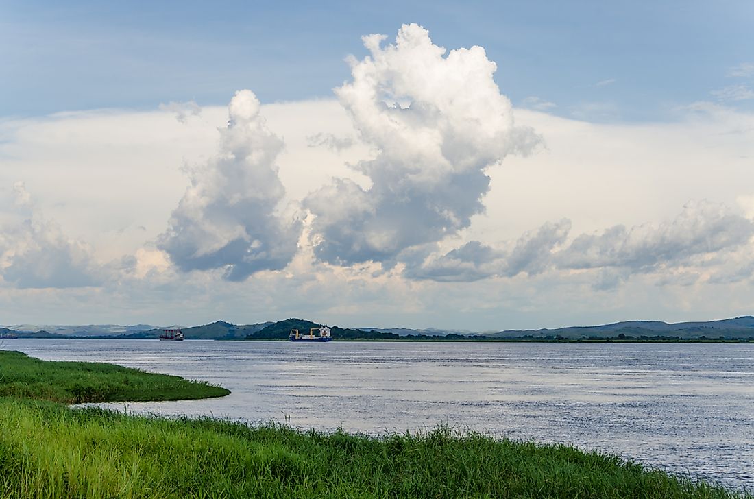
The upper section of the Congo River, which is made up of the Lualaba River, cascades over a drop of 200 feet in height, known as Boyoma Falls. This set of falls, which stretch over 1,500 feet in width, are located in the Orientale Province in the Democratic Republic of the Congo. From this point, the Congo River takes a northwestern direction and passes by the city of Kisangani. After it turns toward the south, in a wide southward arc, this river flows through the city of Mbandaka just before its confluence with the Ubangi River. These two rivers come together as the Congo River, which continues its course onward to an area known as Pool Malebo. Pool Malebo is not really a pool, but rather a section of the river that has become extremely wide over time. It measures 14 miles across at its widest point and the entire area measures approximately 22 miles in length. At the end of Pool Malebo, the Congo River becomes much narrower and flows through an area of canyons, which is home to Livingstone Falls. These falls are actually classified as rapids and follow a gradual drop of 270 miles, ending at the city of Matandi in the Kongo Central Province. From here, the Congo River empties into the Atlantic Ocean.
Major Features of the Congo River
The most notable feature of the Congo River is its basin, which covers a total area of more than 1.428 million square miles in Central Africa. It encompasses a number of ecosystems, including wetland areas and untouched rainforests. This broad range of ecosystems provides habitats for a number of diverse plant and animal species, making the Congo River Basin one of the global biodiversity hotspots. This river basin is also an important carbon sink area for the world, which means that it absorbs carbon before it can become a greenhouse gas.


