What is the Definition of a Diluvium?
Flood geologists have attempted to reconcile and interpret the geological features of the earth with the events of the global flood narrated in Genesis 6-9. According to some diluvial geologists, some features on the earth's surface were as a result of a worldwide flood. Some of the early geologists claim that the Noachian deluge resulted in the formation of boulder clay deposits which are still evident today. However, modern geologists have increasingly found evidence to the contrary and have rejected the Genesis flood as the cause such landforms as erratic boulders.
Definition and Origin of the term Diluvium
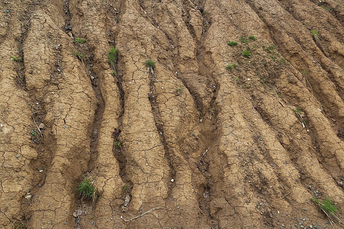
Historically, the term diluvium was used to refer to superficial deposits that were formed as a result of the flood-like operation of water on the surface of the earth. The term appeared for the first time in a book by geologists William Phillips and William Conybeare titled “Outline of Geology of Wales and England. In this book, Conybeare describes how a deluge that led to the last great geological change exposed the surface of the earth and left behind debris which he referred to as “diluvium” in Latin. However, in the 20th century, Alexei Rudoy, a Russian geologist, suggested the term “diluvium” as deposits that are formed as a result of glacial lake outburst flood of the giant Pleistocene glacier-dammed lakes in the Altai region. The definition of the term remains a big debate among geologists with the majority supporting Rudoy’s definition. Thus diluvium consists of boulders, gravel, sand, and loam all mixed by a powerful current of water.
Possible Causes of Diluvium
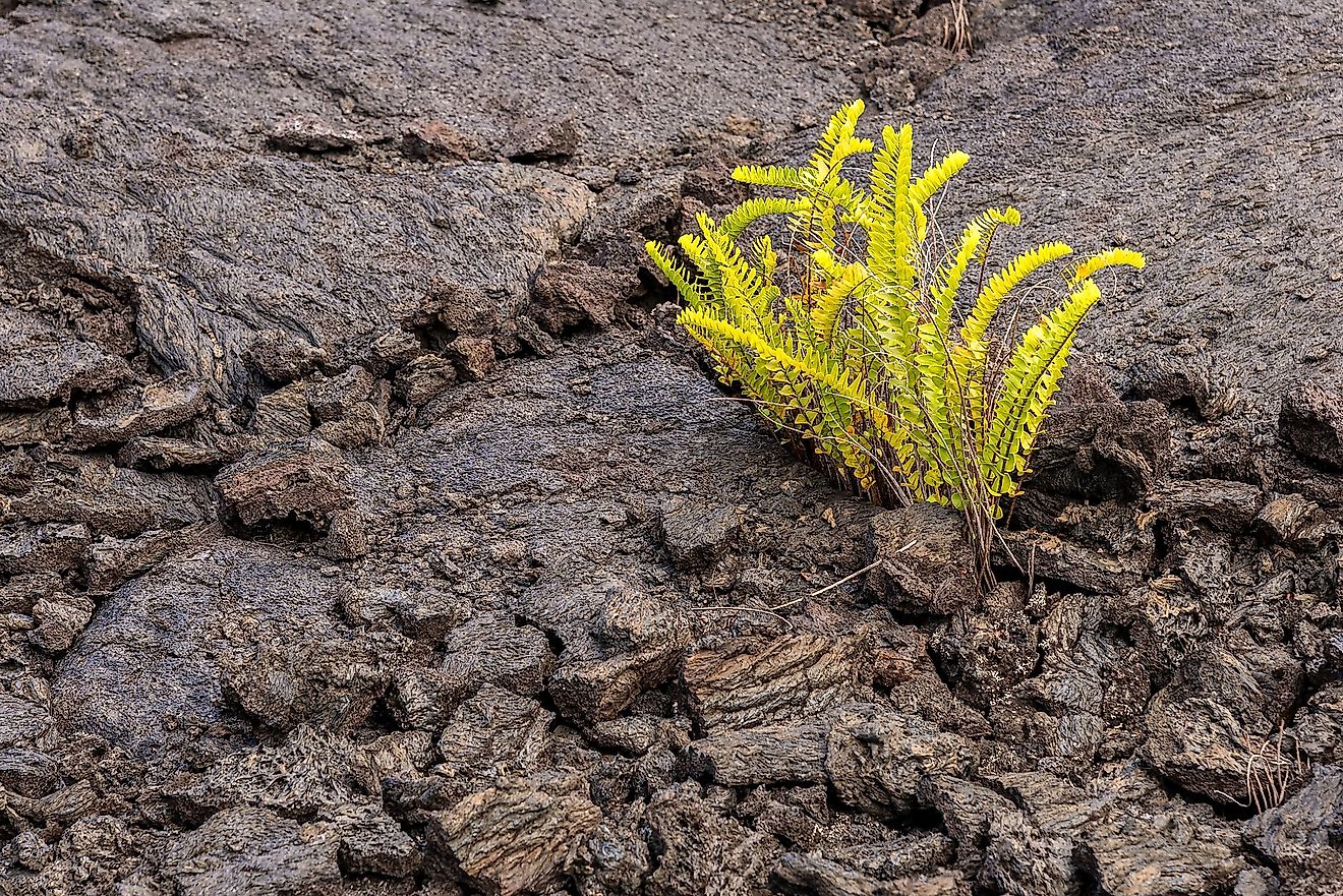
Diluvium is common throughout the greater part of the US and other parts of the world. The phenomena have generally been attributed to the general deluge. However, some of the geologists have acknowledged that the formation process may have been occasioned by the events of the bible. According to generally accepted theory, the diluvium resulted from different floods and produced by elevation of rock strata at a different period.
The Altai Flood
During the Pleistocene Ice Age, almost all the intermountain depressions in northern Mongolia and Southern Siberia had glacier-dammed lakes. However, due to climate change, the lakes were filled with water leading to a large glacial outburst flood. The lake outbursts were characterized by cataclysmic features. As a result, giant gravel ripples of up to 18 meters high were created in different places at the bottom of the lake. Some of these gravel ripples developed east of the Tyetyo River in Kuray Basin. Another feature formed as a result of the flooding is the giant bars which are common along the lower Katun and Chuya Rivers. The bars are as high as 3,000 meters above the current river levels. Gravels deposited along the Katun Valley do not have a stratigraphic structure, indicating that they were deposited directly after the suspension in a turbulent flow. Other common features include ice-crafted blocks which are several meters large and eddy deposits which are common along the Katun River between Mali Yolaman and Inya.