What Is Geoinformatics?
Geoinformatics is the technology and science of developing information infrastructure to address the challenges that face geography, geosciences, and cartography, among other related branches of science and engineering. It deals primarily with the character and structure of spatial information, and its classification, qualification, storage, processing, and dissemination. The data obtained by geoinformatics is called geoinformation, and it is analyzed by computation and geovisualization.
Branches of Geoinformatics
The seven branches of geoinformatics are outlined below.
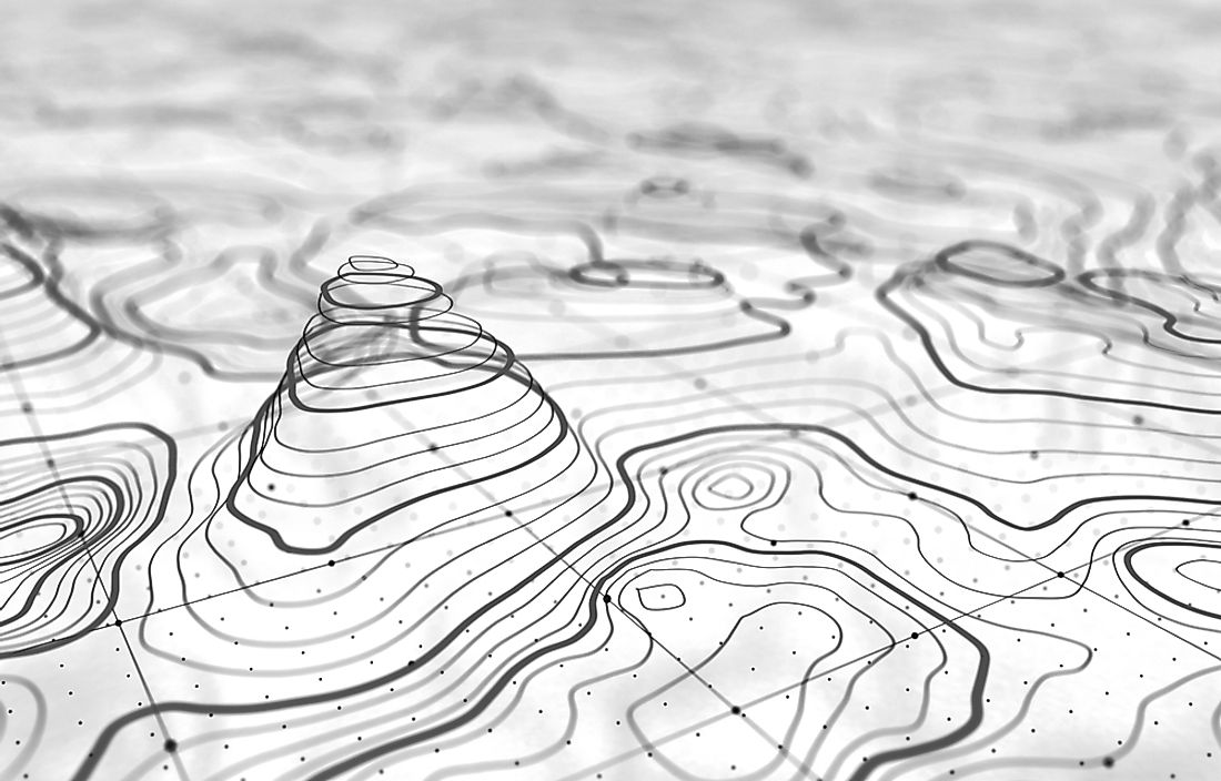
Cartography
Cartography is the study and practice of making maps. Mapping is a complex undertaking that combines scientific techniques with aesthetics to effectively communicate the spatial information that is mapped.
Geodesy
Geodesy is the science of accurately measuring and understanding Earth's three fundamental properties: shape, orientation in space, and gravity field. Geodesy also involves the observation of all the three features to track how they change over time and determine the causes of those changes.
Photogrammetry
Photogrammetry is another discipline related to geoinformatics, which makes measurements from photographs to map out the exact positions of surface points. They work similar to standard maps, but the details are much more realistic, especially in the modern world where photographic technology has significantly advanced. In addition to mapping, photogrammetry can be applied to other fields including architecture, engineering, and quality control.
Remote Sensing
Remote sensing is the near-certain acquisition of information about a phenomenon or a physical object without making any real contact. Remote sensing has been applied in many areas such as radar used by ships and airplanes to detect enemies or obstacles. Ultrasound also uses remote sensing, radiometers, and photometers. Similarly, aerial photography, which is used to make topographical maps, also employs remote sensing. Hyperspectral imaging, sonar, and seismograms are some of the many applications that use the same method to effectively collect data.
Spatial Analysis
Spatial analysis is a technique used to study objects or structures based on topological, geometric and geographic properties. The technique is useful when studying the galaxy, as the modelling breaks things down to smaller scales that make analysis more manageable and practical.
Web Mapping
Web mapping is the use of maps created and delivered by geographic information systems (GIS) in World Wide Web format. There are several types of web maps that include analytical web maps and offer GIS analysis. There are also animated and real-time maps that show situations almost in real-time. Additionally, the collaborative web map uses data created by users who want to improve or add more information about areas that have not been extensively mapped.
Global Navigation Satellite Systems
Global mavigation satellite systems (GNSS) use satellites to provide accurate positioning of anything on the surface of the planet. Satellites have been in use for a long time, and their applications have evolved to include military defense and telecommunications.