What Is Bathymetry?
Bathymetry is an equivalent of land terrain. It is the measurement of the depth of water found in lakes, seas, or oceans. It is a principal element in biological oceanography. Bathymetric data includes information about depths and shapes of the topography of the underwater. The knowledge related to bathymetry comprises the study of rocks, minerals, rocks, underwater earthquakes or volcanoes, and modern hydrography.
The Measurement of Bathymetry
Several methods can be used to measure bathymetric data. The first way, which is somewhat ancient, is depth sounding. Depth sounding was a method of measuring depth which used a tool called the sounding or lead line. The second way was the use of a pre-measured rope or cable. It was then lowered to a ship’s side and the depth of water measured by how deep the rope could go. However, the challenge with the pre-measured rope is that the measurements may be inaccurate due to the movement of the ship and currents during the process of measurement. Moreover, the rope only measures one point at a time which is limiting to how much of the water area can be covered.
The two techniques that experts use today are the echo sounder and satellites. Echo sounders have been able to correct the challenge of inaccuracy experienced when using the pre-measured cable method. It adjusts the measurements with the changes in depths as the ship moves. The satellites have made it possible to produce maps that show general features of the underwater covering a large area.
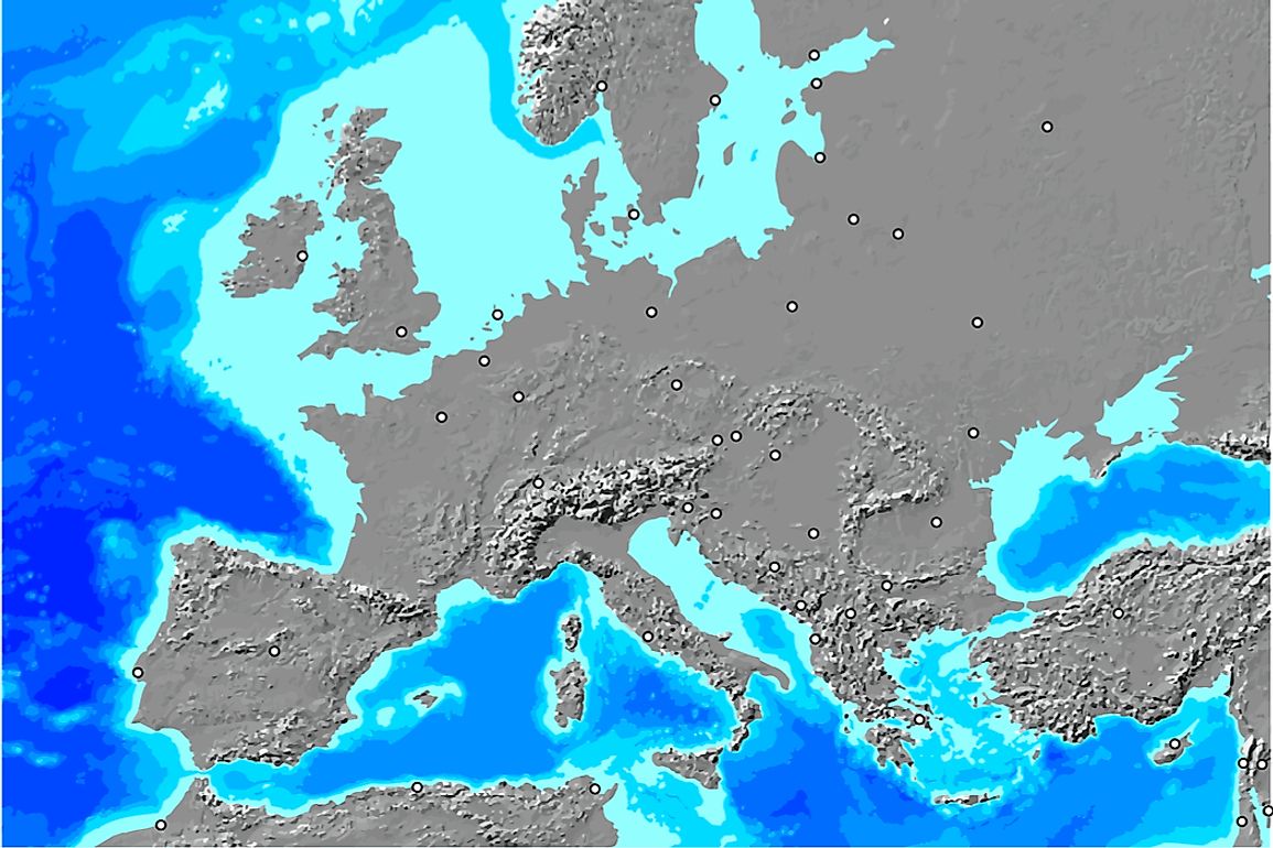
Measuring of the underwater depths leads to the creation of bathymetry maps. The maps provide details about the shape, size, and distribution of the underwater features. Bathymetry maps serve as tools for engineering, environmental, scientific, and marine geophysical studies. The bathymetry maps use false colors to indicate different aquatic depths. The maps use lines to join places with equal ocean depths.
Importance of Bathymetric Data
One of the significance of Bathymetry is that it defines the habitat of the fauna and flora of the oceans, seas, and lakes among other water bodies. Additionally, the study of bathymetry helps those mariners who travel by water and keeps them safe. Regarding climate change, bathymetry alerts the world on the effects of the change in the weather patterns. For instance, it warns scientists of the rise in the sea level and ongoing and potential beach erosion. Besides, the bathymetric data is also used for fisheries management and determination of maritime boundaries. It also enables scientists to identify geo-hazards like underwater landslides. Finally, scientists use bathymetric data to create hydrodynamic models.
The Future of Bathymetry
The expectation is that there will be innovations of more sophisticated equipment that will give more accurate and precise photos of the underwater. The result is people having a better understanding and appreciation of the underwater terrain. The knowledge will be critical in finding solutions to challenges such as the tornadoes, hurricanes, and rising sea levels. Additionally, bathymetry studies will keep evolving due to changes in the environment. The current state of affairs regarding water pollution is alarming. However, people are keener on ensuring a healthy environment exists for both humans and other living things. Such a concern may lead to a better underwater habitat for marine life.