What Is An Insular Island?
The Insular Islands used to be a large group of volcanic islands that are believed to have existed in the Cretaceous period (145-66 million years ago). They were located somewhere in what is now the modern-day Pacific Ocean. It is thought that they formed at least 210 million years before they met their ultimate fate about 115 million years ago. This massive island chain was located between a pair of ancient oceans, with the Bridge River Ocean located to its east and the Panthalassa Ocean located to its west. This ocean was a super-ocean that covered close to 70 percent of the planet. What is now the modern-day Pacific Ocean was formed out of its center starting all the way back in the Mesozoic Era (252-66 million years ago).
The Insular Islands Meet Their Fate
Starting about 130 million years ago, the Insular Island chain started to ride on top of a microplate known as the Insular Plate. However, this ancient oceanic plate soon started to subduct under the vast North American continent as the two got closer together.
Around 115 million years ago, during the middle of the Cretaceous period, the Insular Islands, along with the aforementioned Bridge River Ocean, both met their fate. At this time the chain of islands struck the North American tectonic plate but could not be pushed under it due to their size. This caused the Insular Islands to be crushed and eventually fused against the shoreline of what is now the north-west coast of the United States and Canada until the collision ended when the Insular Plate late finally stopped subducting. Unfortunately for the Bridge River Ocean, it got caught between the islands and continent, as it ended up closing when the violent collision took place.
What Did the Insular Islands Become?
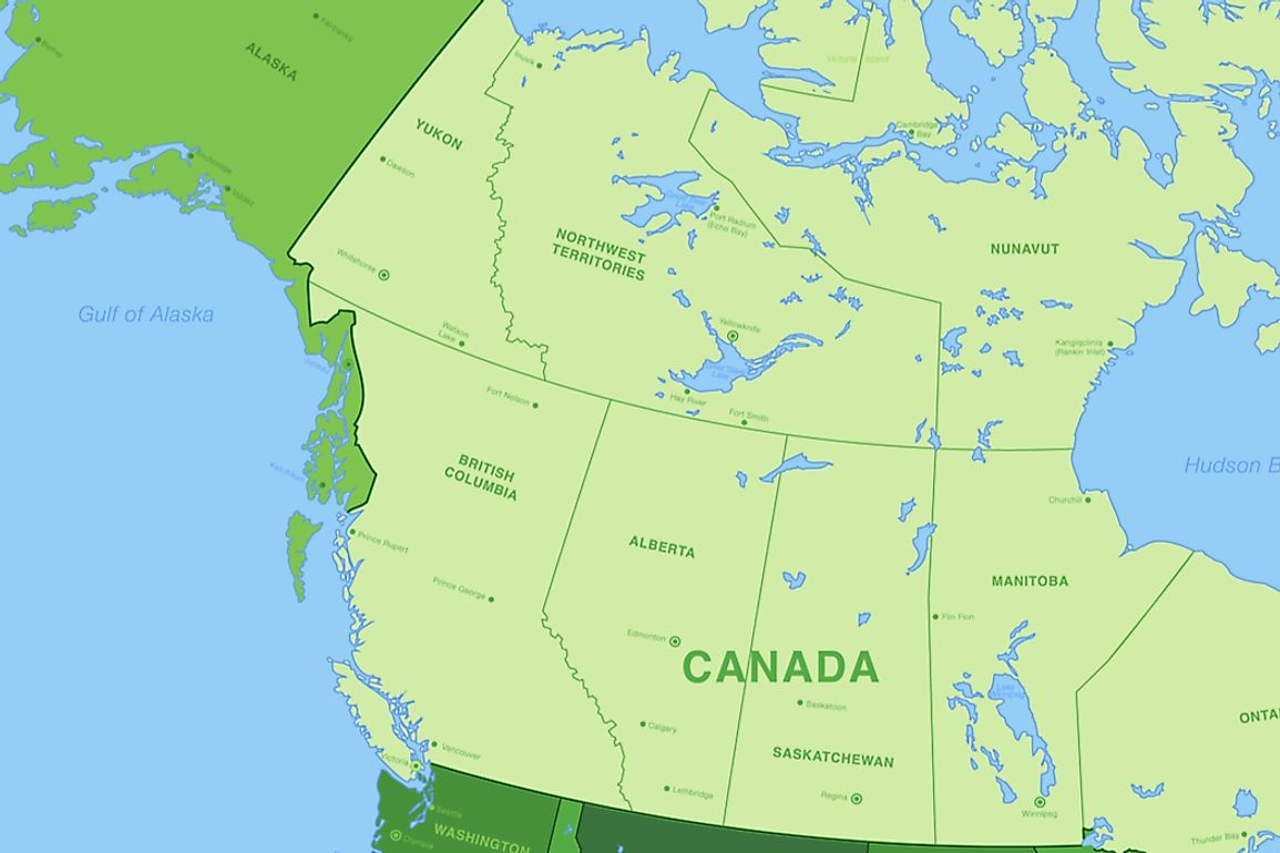
What were the Insular Islands is now known as the Insular Belt, which is a major geologic feature along the west coast of Canada that stretches into the American state of Alaska. The sedimentary and volcanic rocks that once made up the ancient island chain helped to create what is now the Insular Belt. These rocks are completely different to any others found on the continent of North America.
The Insular belt is made up of four large island groupings, three of which are Canadian (Vancouver Island, Gulf Island and Haida Gwaii) and one of which is America (Alexander Archipelago). Besides this, the area has many smaller islands and is most noted for its natural extremes and rugged land with basically no flatness to it.
An example of these natural extremes can be seen comparing the abyss of the Queen Charlotte Sound, located between Vancouver Island and Haida Gwaii, to the tallness of the Wrangell-Saint Elias Mountains in south-central Alaska. The area is also well-known for being densely forested and currently is home to a some of the Earth's tallest trees.


