What Is an Ice Tongue?
The term ice tongue refers to a geographic phenomenon in which a narrow section of ice forms and projects directly out from the shoreline and into a nearby body of water, such as a lake, sea, or ocean. Typically, ice tongues protrude from the bottom of glaciers, at the point where the glacier runs into open lake or ocean waters. Glaciers that cause the formation of ice tongues are principally valley glaciers, which move at a faster than average speed out of valleys and into waterways, and it is this speed that gives an ice tongue its shape. This article highlights some of the ice tongues found around the world, including: the Erebus Ice Tongue, Drygalski Ice Tongue, Demas Ice Tongue, and Flatnes Ice Tongue.
Ice Tongues Around the World
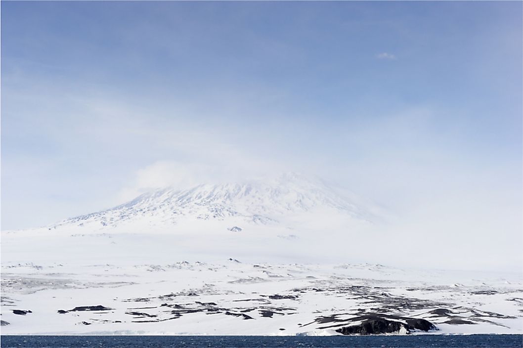
Erebus Ice Tongue
The Erebus Ice Tongue is located off the coast of Ross Island, Antarctica. It has a total length of 6.8 miles and protrudes into the McMurdo Sound. The ice tongue is the result of the Erebus Glacier. Its thickness is approximately 980 feet closest to the shoreline, and only about 160 feet thick at its tip. The Erebus Ice Tongue was first identified and mapped out in the early 20th century by a British exploration team.
Drygalski Ice Tongue
The Drygalski Ice Tongue is located off the coast of Antarctica, toward the northern side of the McMurdo Sound, and is roughly 150 miles north of the Erebus Ice Tongue. The ice tongue originates from the David Glacier, which is located in Victorialand, Antarctica. It stretches 43 miles in length and is anywhere between 9 and 15 miles in width. The ice tongue has lost approximately 66 square miles of area after being hit by drifting icebergs, once in 2005 and a second time in 2006. The Drygalski Ice Tongue was first identified by the British National Antarctic Expedition near the beginning of the 20th century.
Demas Ice Tongue
The Demas Ice Tongue is located off the coast of the Abbot Ice Shelf in Antarctica. The ice shelf measures 250 miles in length and 40 miles in width. The ice tongue protrudes into the Peacock Sound, which creates a barrier between Eights Coast and Thurston Island. Peacock Sound feeds into Amundsen Sea. The ice tongue protrudes about 23 miles into the sound. It was first identified in 1940, when flights controlled by the United States Antarctic Service took off from USS Bear, which was stationed in the area at that time.
Flatnes Ice Tongue
The Flatnes Ice Tongue is located off of the Ingrid Christensen Coast in Antarctica. Unlike the previously mentioned ice tongues, the Flatness Ice Tongue is formed by waters draining off the continent and into the ocean, rather than by a glacier. It protrudes for approximately 4 miles into Prydz Bay. The ice tongue actually forms the western barrier of Amanda Bay, separating it from Prydz Bay. It was first identified from aerial photos taken during expeditions that occurred during the 1930s and 1940s.


