What Is A Polar Vortex?
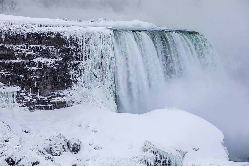
A polar vortex is a top level, low-pressure region located near the poles of the Earth. The Earth’s atmosphere has two polar vortices which overlie the north and south poles. Each vortex is a constant low-pressure large-scale region which rotates clockwise in the South Pole and anti-clockwise in the North Pole. The bases of these vortices are in the upper and middle troposphere before extending to the stratosphere.
What Is the Different Between the Vortex During Winter and Summer?
Due to its dependence on the temperature difference between the poles and equator, a polar vortex weakens in the summer and strengthens during winter. During winter the arctic vortex is usually defined, but in winter it breaks up into more than two vortices. The location of the vortex is determined by the interface between the warm moist located on the southern part and the dry cold air mass on the poles. Just like all the other cyclones, the rotation of the vortex is dictated by the Coriolis Effect. During summer, the polar vortex separates into 2 or more vortices with the strongest located near the Baffin Island and other vortex is over northeastern Siberia.
What Is a Cold Snap?
The strength of the mid-latitude winds increases when the vortex is strong. When the vortex weakens the high-pressure regions of the mid-latitudes tends to pull pole-wards thus moving the vortex, polar front and the jet stream towards the equator; which results in the jet-stream deviating and buckling southwards. These movements result in the moist warm air of the mid-latitudes coming into contact with the dry cold air and creating a dramatic and rapid weather change known as the cold snap.
When Was the Polar Vortex First Described?
The first description of a polar vortex was given as early as 1853. The stratospheric warming which develops in winter around the northern hemisphere was discovered with the radiosonde observations in 1952 at an altitude higher than 12.43 miles. The sudden stratospheric warming phenomenon was mentioned in the weather and news media during the cold winter of 2013 to 2014 in North America.
What Is the Sudden Stratospheric Warming (SSW)?
The SSW phenomenon is associated with a weaker polar vortex; it occurs when the polar vortex of the winter hemisphere’s westerly winds slow down and even reverse their direction for a couple of days. The change of the course of the westerly winds increases the stratospheric temperature. The warming of the air in the stratosphere can reverse the circulation in the vortex from anti-clockwise to clockwise direction.
Factors Which Determine the Power and Duration of a Polar Vortex
Polar vortices are stronger in winter and weakest in summer, and when it is weak, the extra-tropical cyclones which can migrate into higher latitudes disrupt one vortex creating many smaller vortices within the air. These smaller vortices persist for over a month. Volcanic eruptions can create strong vortices during winter which can last for over two years. The position and strength of the vortex determine the flowing-pattern in the broader region. In the northern hemisphere, the Arctic oscillation is used to gauge the magnitude of the polar vortex.

