What Is The Water Table?
Description
When water seeps into the ground due to gravity, it descends deep down to a ground level where the rock is no longer porous. That obscured subsurface where all rock openings are filled with water, is called the zone of saturation, and its upper surface is called the water table, according to the Idaho State University (ISU) study. The water table, according to experts, sits on what’s called the zone of saturation or the phreatic zone, and the area above it is called the vadose or unsaturated zone. Beneath the water table, rocks and soil are full of water. These pockets of water below the water table are called aquifers according to National Geographic. An aquifer has saturated rock that allows water to easily move since it’s permeable and porous. It’s made of rocks like sandstone, conglomerate, fractured limestone, fractured volcanic rocks, and unconsolidated sand and gravel according to ISU. An aquifer also acts as a natural water purifier that cleanses underground water by filtering it.
Structure and occurrences in water tables
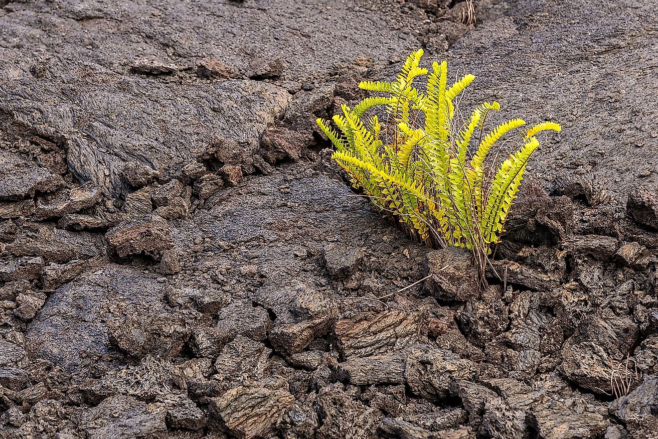
Water table levels are dynamic. During precipitations like rain, snow, or irrigation of crops, as the water seeps downward from the surface, the water table rises up, according to National Geographic. This seeping-in process of water is called saturation, and it occurs in sediments or rocks. The water table surface is sloppy with many irregularities caused by variations in permeability of water-bearing materials. The sloppiness is also caused by unequal additions of water to and withdrawals from the ground water reservoir at varying places, according to Kansas Geological Survey. Water tables can, but not always follow the topography and tilt upward or downward like the land above them. There are instances where a water table interconnects with the land surface. That water table can be a spring or an oasis. Canyons, cliffs, and sloppy hillsides can expose an underground river or lake perched on a region’s water table.
What affects a water table?
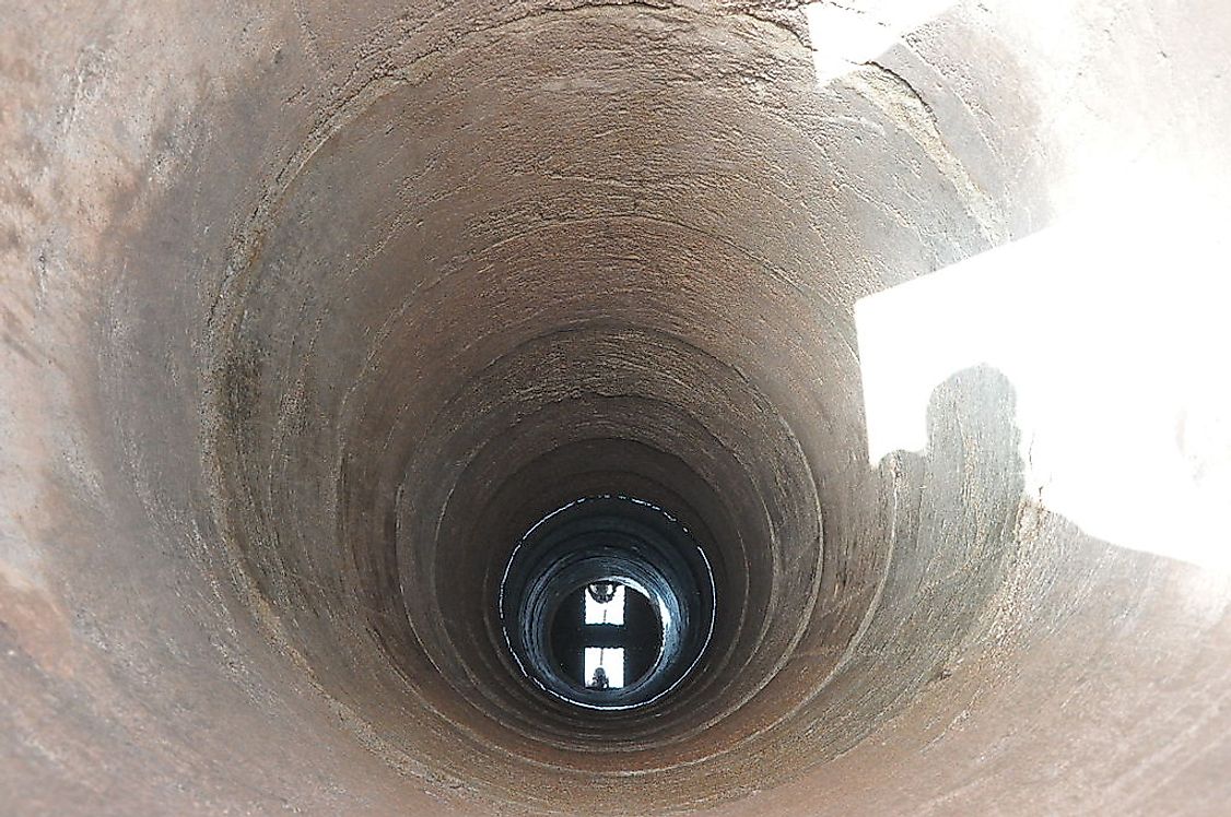
Ground cover can influence water table levels. Swampy vegetations are a result of water tables in swamps being nearly level or higher than the earth’s surface, according to National Geographic. In urban areas in contrast, due to the impermeable surfaces like concrete, the water table dips as surface water escapes as run off. When water from wells is pumped up for use, the water table gets lower into a form of a cone depression. With time, if water is not replenished, the well may dry up. An aquifer above a region’s main water table in the vadose zone is called a perched aquifer, according to South Africa’s water and sanitation department. Perched aquifers serve as water sources for springs, but they are highly likely to dry up in summer or during droughts.
Current State of the planet’s water table
A 2015 report by NASA declared the state of water tables around the world as dire. Aquifers in California are getting drained because of drought. According to the report, a third of the planet’s largest groundwater basins are getting depleted while 21 of the earth’s 37 largest aquifers in India, China, US, and France, have exceeded their sustainability levels. That means more water is being removed from the aquifers than can be replenished. The NASA report also reported that water levels of 13 of the 37 aquifers decreased at rates that ranked them in troubled categories.