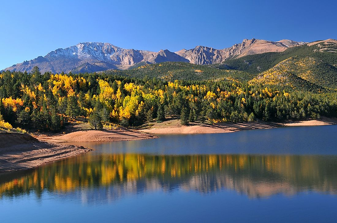
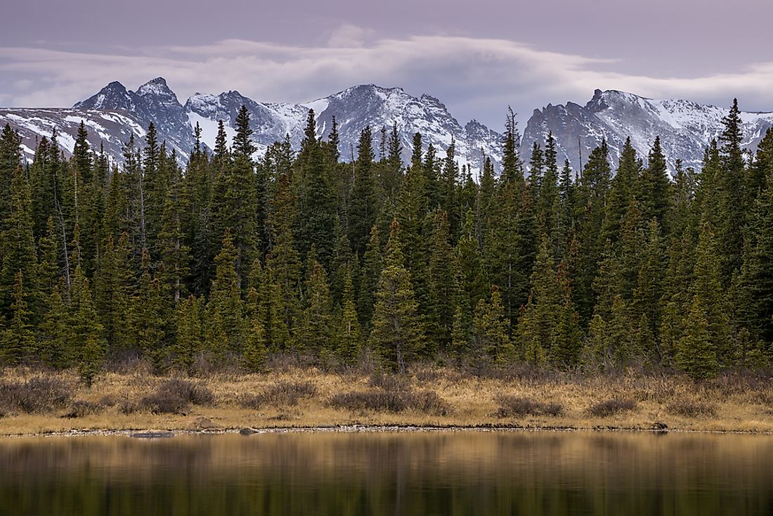
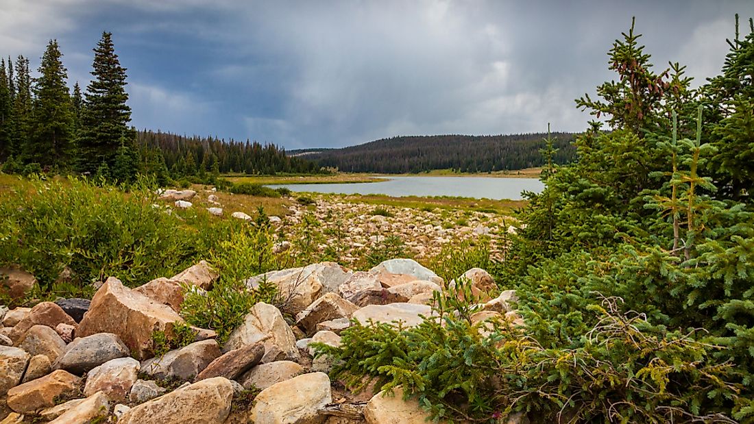
US National Forests of Colorado
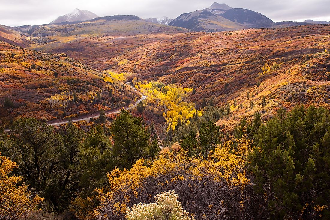
The forest is a collection of trees covering an extensive area of land. The national forest is a collection of trees in a large area, which the government protects. The US government has reserved more than 150 areas as national forests under the management of the US Forest Service.
12. San Juan
San Juan is a National Forest in the State of Colorado with an area of about 1,878,850 acres. This forest occupies the western part of Colorado in the counties of Conejos, Hinsdale, Montezuma and San Juan. The areas of alpine wilderness within the forest are Weminuche, and South San Juan. United States President Theodore Roosevelt proclaimed the forest in June 1905.
11. Rio Grande
The Rio Grande is one of the national forests in the southwestern part of Colorado. The forest, which is the source of River Rio Grande, covers an approximate area of 7,525square kilometers. Rio Grande forest dominates primarily the San Luis agricultural alpine valley bordering the counties of Alamosa, San Juan, Mineral, Conejos, and Custer. The areas of alpine wilderness within the Rio Grande forest are Sangre de Cristo, Weminuche, and South San Juan. All of these wilderness areas extents a little bit to neighboring national forests. The area receives a rainfall amounting to 690 millimeters per year and temperature of about 27 degrees Celsius per month.
10. Uncompahgre
The national forest covers an approximate area of 3,867 square kilometers in the western region of the state of Colorado. The forest lies in the counties of Mesa, Ouray, Gunnison, Montrose, Delta, and San Juan counties. The Uncompahgre forest also has three designated wilderness areas. These areas are Lizard Head, The Big Blue, and Mount Sneffels. Delta County, headquarter, manages the Uncompahgre, Gunnison Forest, and the Grand Mesa forest. The leisure activities in the forest are hiking, and scenic driving since the population in the area is sparse and receives abundant sunlight.
9. San Isabel
The location of this national forest is the central region of the state of Colorado with an approximate area of 4,530 square kilometers. San Isabel National Forest borders Custer, Huerfano, Pueblo, Chaffee, Fremont, Costilla, Summit, and Animas counties. The US Forest Service manages the San Isabel forest together with Comanche National Grassland, and Pike National Forest. Headquarter of their offices is in Pueblo County. The alpine wilderness areas in San Isabel are Collegiate Peaks, Greenhorn Mountain, Buffalo Peaks, Mount Massive, Spanish Peaks, and Sangre de Cristo.
8. Gunnison
Gunnison is one of the national forests in the state of Colorado with land coverage of about 6,765 square kilometers in western counties of Mesa, Hinsdale, Gunnison, and Saguache in Colorado. The Gunnison National Forest lies between White River, Uncompahgre Forest, and the Grand National Forests. United States President Theodore Roosevelt established the Gunnison Forest in June 1905. The US Forest Service manages the forest jointly with Uncompahgre and Grand Mesa National Forests in Delta County. The areas of wilderness within the Gunnison forest are Fossil Ridge, Collegiate Peaks, Maroon Bells, Ragged, West Elk, and Powderhorn.
7. Grand Mesa
Mesa is a reserved forest in the state of Colorado, United States. The forest borders the counties of Garfield, Delta, and Mesa in the western part of the State. The forest has an area of around 1,400 square kilometers. The US States Forest Service manages this forest together with Gunnison and Uncompahgre forests from Delta County. Animals like mule deer, black bears, cougars, elk, and pine marten inhabit this forest. Benjamin Harrison created this forest in December 1892.
6. Pike
Pike Forest is in the west of the springs in Colorado, United States. The land coverage of this national forest is 4,477 square kilometers, and it lies between Teller, Jefferson, Clear Creek, Park, and Douglas counties. The US Forest Service manages this forest with San Isabel, Cimarron Grassland, and Comanche Grassland. Pueblo County is the headquarter of management offices. The designated wilderness areas in the forest are Lost Creek, Buffalo Peaks, and Mount Evans.
5. White River
The White River is the reserved forest is in the northwestern part of Colorado State. The White River Forest is famous in the United States. The White River forest occupies an area of about 9,250 square kilometers. The forest borders Garfield, Eagle, Summit, Rio Blanco, Gunnison, and Pitkin counties. Different species of wild animals in this forest are deer, elk, mountain sheep, raptors, bear, mountain lion, and lynx among others. The areas of wilderness within the White River National Forest are Eagles Nest, Holly Cross, Flat Tops, Ragged, Maroon Bells, and Ptarmigan Peak.
4. Arapaho
Arapaho Forest is in the central part of Colorado, United States, covering an area of about 7,419 square kilometers. The US Forest Service manages the forest with Roosevelt, and Pawnee Grassland from Fort Collins in the state of Colorado. The forest has a variety of wildlife species and lies majorly in the counties of Grand Mesa and Clear Creek. There are approximately 195 species of birds found within the forest. The alpine wilderness areas within the forest are Byers Peak, James Peak, Never Summer, Indian Peak, Vasquez Peak, and Mount Evans.
3. Roosevelt
This national forest occupies the north-central part of Colorado with an approximate land area of 3,294 square kilometers. The forest is under one management as Arapaho forest, and Pawnee Grassland in Fort Collins. The areas of alpine wilderness within the forest are Neota, Rawah, James Peak, and Indian Peak. The forest borders foothills to the east of Front Range.
2. Medicine Bow – Routt
It is a US National Forest covering a land area of about 8,994 square kilometers in the state of Colorado. The Routt forest, Medicine Bow forest, and Thunder Basin Grassland were joined in 1995 to form the Medicine Bow-Routt forest.
1. Manti-La Sal
It is a national forest in Colorado, United States, and extends to about 4,901 square kilometers. This forest lies between the counties of San Juan, Emery, Grand Mesa, Utah, Carbon, and Sanpete. The Manti-La Sal was reserved as forest in May 1903. This forest is also famous for leisure activities such as skyline drive and road tracing. The US Forest Service manages and protects this national forest.


