10 Most Common Types of Clouds Found in the Sky
Clouds are pockets of water vapour in the sky. It could be composed of liquid droplets, frozen crystals, or other particles. The word cloud comes from an old English word “clod” which means a mass of rock. In this article, we will elaborate on the common types of clouds that are found in the sky.
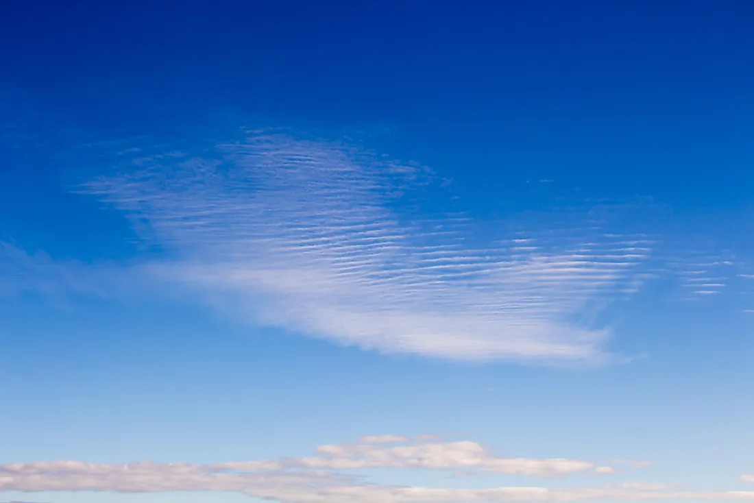
10. Cirrocumulus

The word cirrocumulus is a combination of two words: "cirro" which means a curl of hair and "cumulus" meaning heaped. This type of clouds are usually found at altitudes of 16,000 to 39,000 ft. Ice crystals are the predominant components making up cirrocumulus with a small amount of liquid droplets. The water droplets are however at a super cooled state. Cirrocumulus is white in color and appears in fine rows with small cloudlets which appear to be smaller than a finger held at an arm’s length. During the sunset and sunrise, they tend to reflect the red and yellow colors of the sun and are hence referred to as the most beautiful clouds. When seen spreading evenly throughout the sky, it means that there will be rain in the next 8-10 hours.
9. Cirrostratus
This a high thin layered type of cloud cover purely composed of ice crystals. It is quite difficult to detect these clouds since they are very high and thin. They occur at an altitude of above 18,000 feet and they signify high moisture content in the atmosphere.
8. Cirrus

These are white to light grey wispy strands of clouds appearing at altitudes of 16,000 to 45,000 ft above the sea level. They are usually made as result of outflow of tropical cyclones or anvil-top of cumulonimbus cloud. The arrival of cirrus signifies the onset of rains but the cloud itself cannot lead to rain. It produces tiny ice crystals which evaporate before reaching the earth surface. These clouds have a heating effect on the environment. On average, below the main cirrus cloud, temperatures are known to rise by 10 ⁰C using the green house effect. Scientists have asserted that cirrus clouds could contribute to global warming.
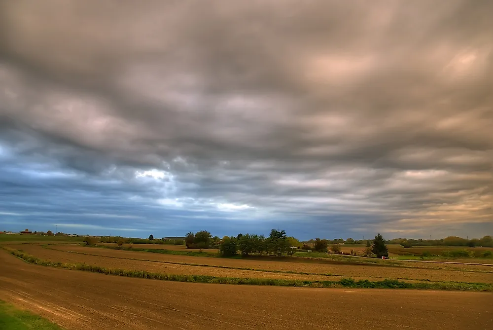
7. Nimbostratus
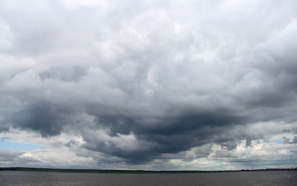
Nimbostratus is a cloud that is dark at the base but appears to be illuminate from the centre when observed from below. It is a vertical stratus formed in the middle layer and spreads vertically to both the upper and lower layers.The formation of nimbostratus signifies the start of an easy to powerful precipitation which lasts for a long time. In some instances, precipitation occurs for several days.
6. Altocumulus

This is a middle-altitude cloud occurring at an altitude of 6,500 to 20,000 ft. They are dark and result in thunderstorms. The cloud can be further classified according to opacity, pattern formed, and mother cloud.
5. Altostratus
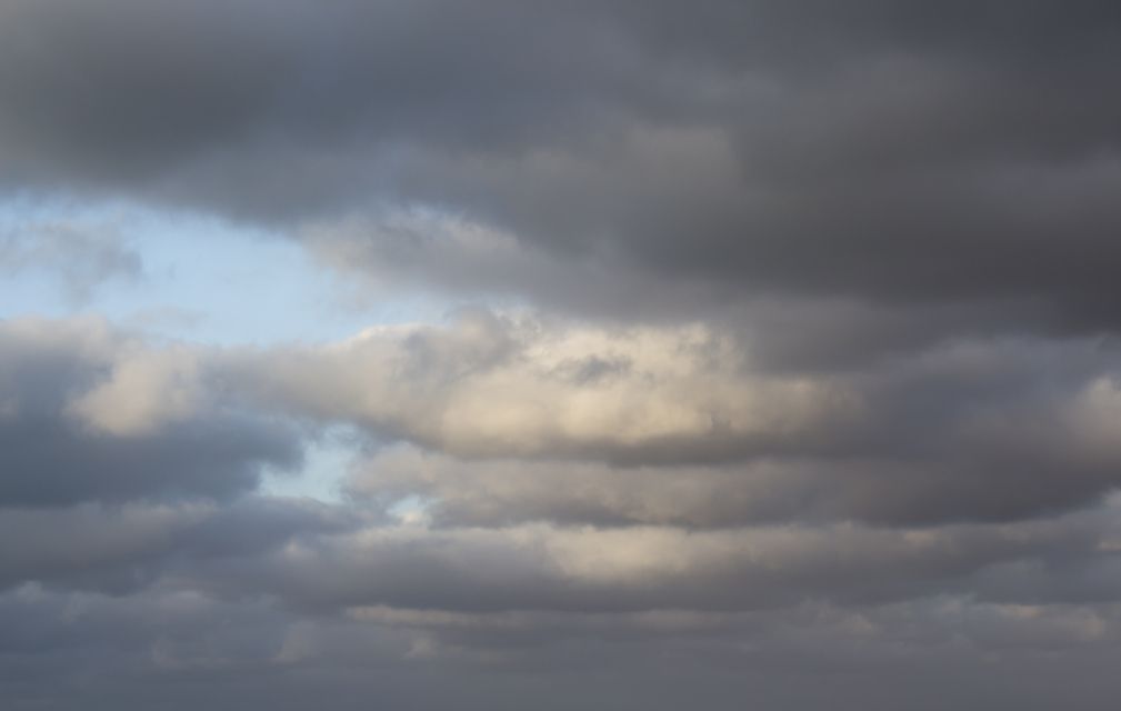
Altostratus clouds are middle altitude clouds that are grayish in color. In some instances, the sun can be seen through them. They are formed when a large air mass is lifted allowing invisible water vapor to condense and become a cloud. It appears as a flat sheet of cloud with no distinguishable features. Altostratus is made up of ice crystals. In some instances, however, sheets of water droplets may form around the ice crystals. Altostratus thickens to become nimbostratus which is a rain bearing cloud type.
4. Cumulonimbus
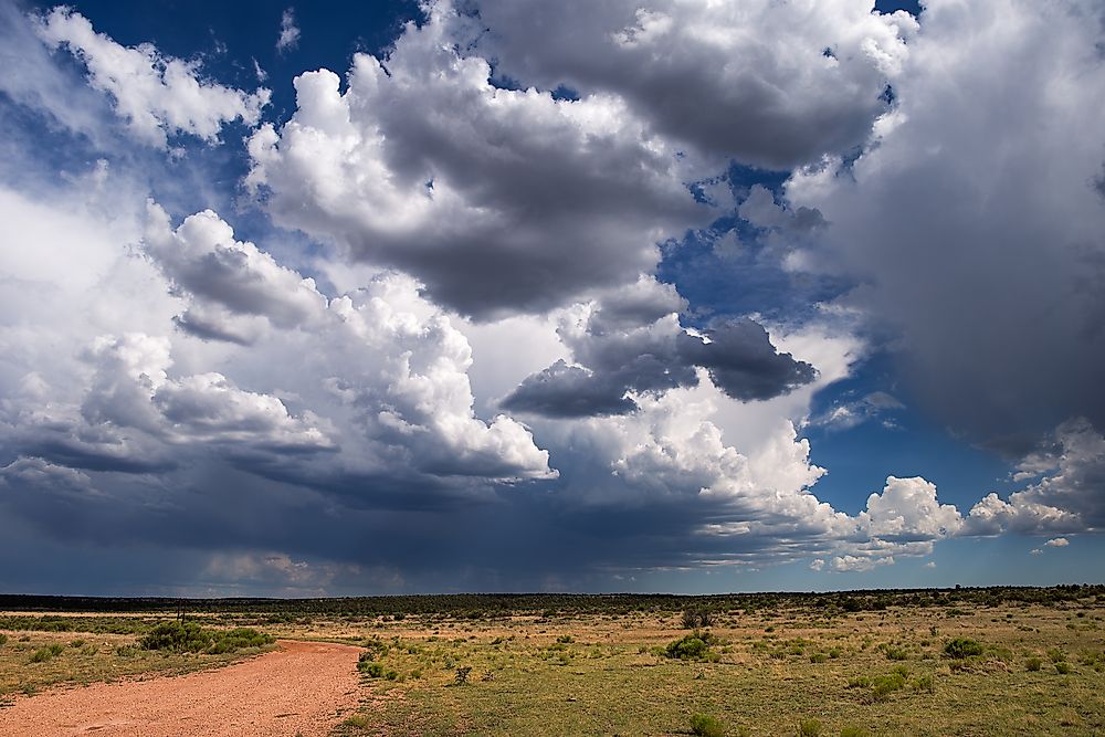
Cumulonimbus is a combination of two Latin words; “cumulus”, meaning heap and “nimbus” meaning rainstorm. They are found at altitudes of 700 to 10,000 ft above the ground level. These clouds are responsible for flash flooding. This happens when a sudden heavy rainfall pours in a span of less than half an hour. However, when the temperature is warm, the rains may continue for a longer period of time going up to hours. The life cycle of a cumulonimbus, from formation to dissipation, takes an average of thirty minutes. Cumulonimbus is largely found in tropical regions.
3. Stratus
This is a low altitude cloud formed by raising thermal column. They are grayish and are composed of both water droplets and ice crystals. These are the clouds that are formed on a misty or foggy day just above the fog and results to very light showers and in some instances light snow. Stratus are formed when cold air moving at low altitudes or by lifting of fog.
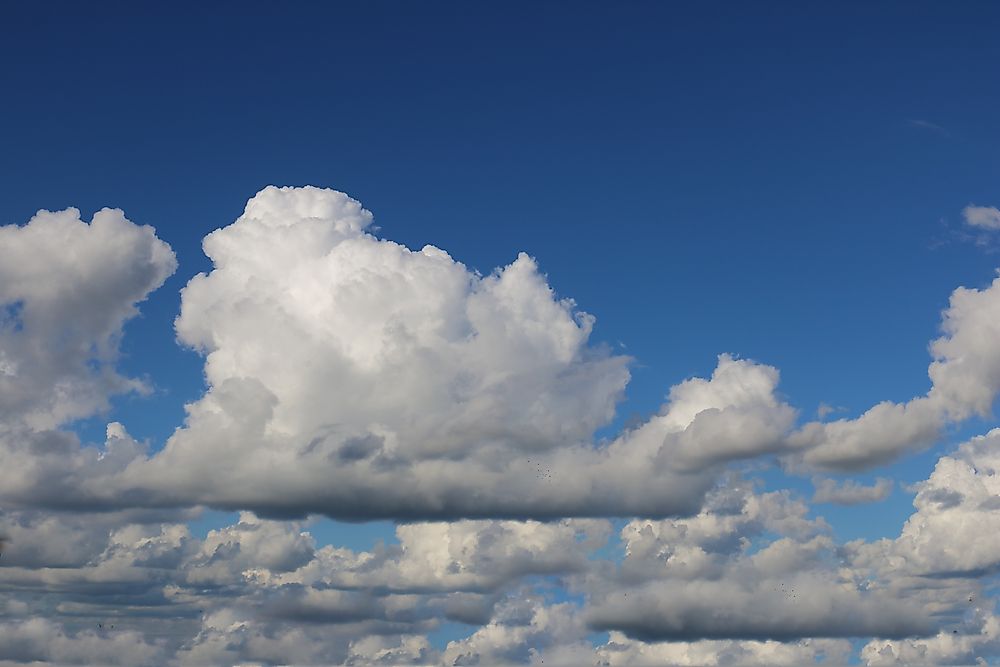
2. Cumulus

These are cotton-like clouds with a flat base. They are found at altitudes below 6,500 ft and mainly appear in lines or clusters. They mainly form as a result weather factors like moisture and temperature gradient. They normally don’t result into rains but sometimes they may grow into cumulonimbus which is rain-bearing. Cumulus is formed by a mixture of water droplets and ice crystals.
1. Stratocumulus

These are low altitude clouds occurring at around 8,000 ft above the ground level. They don’t usually result in rain but in very rare cases result in light showers. They may also be formed when cumulus clouds form below other higher clouds leading to a reduction in the sun heat reaching the lower clouds. This makes the cumulus cloud to disintegrate into stratocumulus. They are often confused with altocumulus. A sure way of differentiating stratocumulus from altocumulus is pointing at the cloud from the ground surface. If the sample is about the size of a thumb, then it is altocumulus. It is stratocumulus if it is about the size of your fist. Stratocumulus is also darker than altocumulus.


