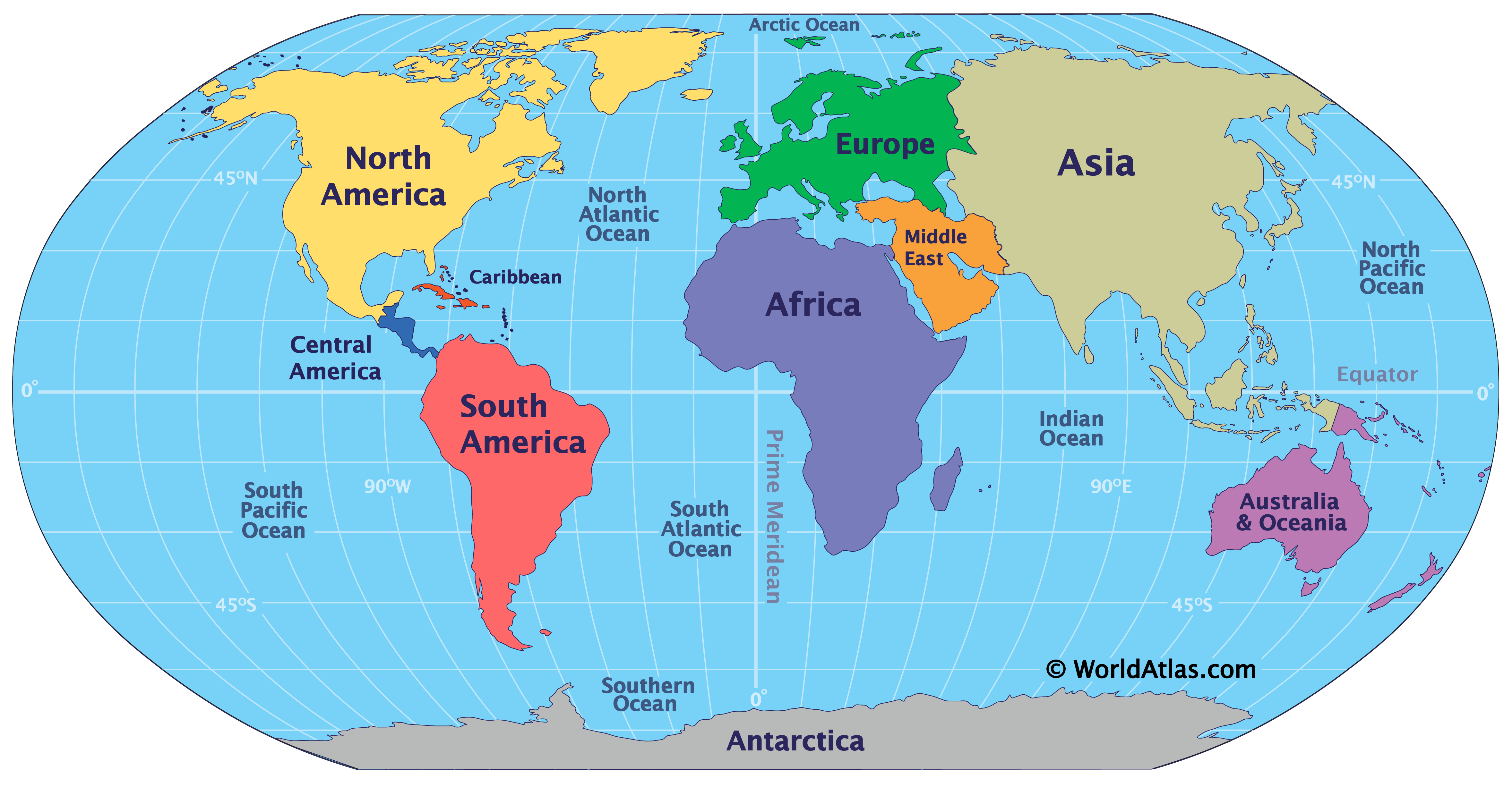
How Many Oceans Are There In The World?
For much of recorded history, Earth was said to have four named oceans: the Atlantic, Pacific, Indian, and Arctic. However, many countries—including the United States—now recognize the Southern (Antarctic) Ocean as the fifth. The Pacific, Atlantic, and Indian oceans remain the most familiar to most people, while the Arctic often goes unnoticed due to its smaller size and polar location.
The Southern Ocean is considered the newest addition to the list, as recognized by the U.S. Board on Geographic Names. It stretches from the Antarctic coastline up to the latitude line at 60°S. Although this boundary proposal was submitted to the International Hydrographic Organization in 2000, it has yet to be universally ratified, as some member nations do not agree on the exact limits. The United States, represented in the IHO by the National Ocean Service (NOS) Office of Coast Survey, is among those that support the designation of the Southern Ocean.
The Ongoing Debate: Four Oceans or Five?

Earth is the solar system’s true water world, even though Europa and Enceladus (moons of Jupiter and Saturn, respectively) are both encased in ice. Roughly 71 percent of Earth’s surface is covered by saltwater oceans, and the continents themselves hold lakes, rivers, and, in some instances, seas. The largest bodies of water are the oceans, but there is some ongoing discussion regarding the actual number of separate oceans. So, how many does our planet truly have?
Traditionally, many maps and textbooks featured a four-ocean model: the Pacific, the Atlantic, the Indian, and the Arctic. The first three rank among the biggest, while the Arctic Ocean often garners less attention—perhaps because it is significantly smaller, appears at the map’s fringes, and is partly cloaked by ice.
However, when viewed from another angle, Earth may actually have five oceans. A range of scientific organizations, the International Hydrographic Organization (IHO), and several national governments recognize the existence of a fifth ocean, called the Southern Ocean (also known as the Antarctic Ocean). It encompasses the waters surrounding Antarctica below 60° S latitude, though IHO member nations have not reached a universal agreement on its boundaries. Defining the Southern Ocean as distinct from the Atlantic, Pacific, and Indian oceans seems logical when considering the Antarctic Circumpolar Current and the winds encircling the continent, which create a natural boundary—often referred to as the Antarctic Convergence—between Antarctica and the rest of the world. In June 2021, the Southern Ocean received a new level of acknowledgment when the National Geographic Society (an American nonprofit devoted to research and education, with a storied mapmaking tradition) formally recognized it. Nonetheless, the Southern Ocean’s precise limits remain a point of contention.
In practical terms, one could argue there is effectively only a single ocean because each named ocean connects to at least two others. The concept of a unified global ocean is further supported by thermohaline circulation (also known as the Global Ocean Conveyor or the Great Ocean Conveyor Belt), which moves seawater through all of the named oceans. Thermohaline circulation constantly replaces deeper water with surface water and gradually brings water from the depths up to the surface in other regions.
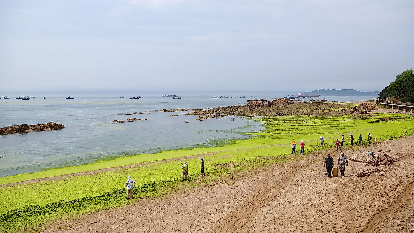
As per estimates, 97% of the water on our planet is found in the ocean. The ocean remains one of the most unexplored places on Earth. Approximately, 80% of the ocean hasn't been mapped or explored.
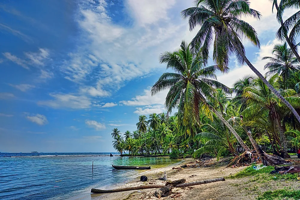
The Pacific Ocean
The Pacific Ocean is Earth’s largest ocean, spanning 168 million km²—about 46% of Earth’s water surface and 32% of its total surface. It stretches from the Arctic in the north to the Southern Ocean in the south, bounded by Asia and Australia in the west and the Americas in the east. Circulation patterns from the Coriolis effect separate it into the North and South Pacific. Home to Earth’s deepest point, the Challenger Deep in the Mariana Trench, it encompasses numerous marginal seas and significantly influences global climate, trade, and history.
The Atlantic Ocean
The Atlantic Ocean is Earth's second-largest ocean, spanning from the Arctic in the north to the Southern Ocean near Antarctica, and from the Americas in the west to Europe and Africa in the east. Covering roughly 17% of Earth’s surface, it has shaped human history through exploration, trade, and colonization, following Europeans' discoveries in the Age of Discovery. Major fisheries and abundant resources inhabit its continental shelves, but overfishing and pollution remain significant challenges. Connected worldwide by currents, this S-shaped basin includes deep trenches, submarine ridges, and diverse marine ecosystems.
The Indian Ocean
The Indian Ocean covers about 70.56 million km², around 20% of Earth’s water surface, stretching from Asia to Antarctica, and Africa to Australia. It's the world's third-largest ocean. Its large marginal seas include the Andaman, Arabian, Bay of Bengal, and Laccadive seas. Characterized by strong monsoons, it remains the planet’s warmest ocean, crucial for global climate. Rich in biodiversity—coral reefs, mangroves, sea grass beds—its waters support key fisheries but face threats like overfishing and pollution. Historically a hub for trade and migrations, it continues serving shipping routes amid concerns over geopolitics, piracy, and climate change.
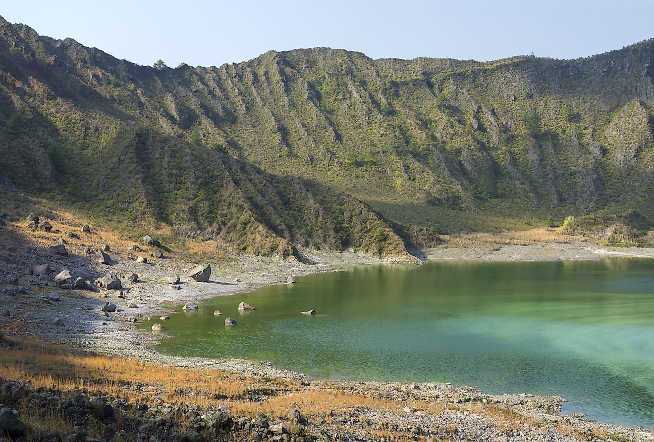
The Southern Ocean
The Southern Ocean, or Antarctic Ocean, is the second-smallest of Earth’s oceans, covering about 21.96 million km². Typically defined as waters south of 60° S and encircling Antarctica, it was officially recognized by the International Hydrographic Organization in 2000. With a maximum known depth of over 7,400 meters, it supports the world’s largest ocean current, the Antarctic Circumpolar Current, crucial for thermohaline circulation. Explorers, from James Cook to modern scientific expeditions, documented its harsh conditions and biodiversity. Today, climate change impacts the region’s ocean currents, ice extent, and marine ecosystems.
The Arctic Ocean
The Arctic Ocean, recognized by the IHO, is the smallest and shallowest ocean, spanning 15.5 million km². Surrounded by North America and Eurasia, it is mostly covered by sea ice year-round, with melting intensifying in summer. Arctic waters have the planet’s lowest average salinity from limited evaporation and heavy freshwater inflow. Historically, Indigenous cultures inhabited its rim. Explorers sought passages like the Northwest and Northeast. Today, climate change accelerates sea ice decline, potentially altering ocean circulation and Arctic wildlife. Despite harsh conditions, it houses unique species and significant natural resources.
Oceans Vs. Seas
Oceans are vast water bodies, always surrounded by continents, while seas can be enclosed by land or connected to an ocean. This results in oceans being much larger: the smallest ocean, the Arctic, covers more than 15 million km², whereas the largest sea, the Philippine Sea, spans only 5.6 million km². Seas also have higher average salinity due to greater evaporation and lesser circulation, with the Mediterranean Sea at about 38 g/L and the Red Sea at 41 g/L. In contrast, ocean salinity averages 35 g/L. Depth similarly differs, with oceans typically deeper than seas. The Pacific Ocean’s Mariana Trench reaches over 11,000 m, while the deepest seas sometimes only match mid-range ocean depths. These features distinguish seas from the world’s oceans overall.
How Many Oceans Are There In The World?
| Rank | Ocean | Area (km2) (% of total Global Ocean area) | Volume (km3 ) | Avg. depth (m) | Coastline (km) |
|---|---|---|---|---|---|
| 1 | Arctic Ocean | 15,558,000 (4.3%) | 18,750,000 | 1,205 | 45,389 |
| 2 | Atlantic Ocean | 85,133,000 (23.5%) | 310,410,900 | 3,646 | 1,11,866 |
| 3 | Indian Ocean | 70,560,000 (19.5%) | 264,000,000 | 3,741 | 66,526 |
| 4 | Pacific Ocean | 168,723,000 (46.6%) | 669,880,000 | 3,970 | 1,35,663 |
| 5 | Southern Ocean | 21,960,000 (6.1%) | 71,800,000 | 3,270 | 17,968 |