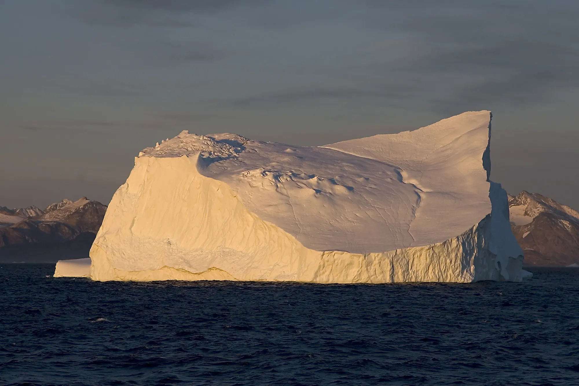
Denmark Strait
The Denmark Strait is a navigational passage between Greenland and Iceland. The very cold East Greenland current passes through the strait and carries icebergs south into the Atlantic Ocean.
Where Is The Denmark Strait?

Also known as the Greenland Strait, the Denmark Strait is an located between Greenland and Iceland. Greenland lies to the northwest of the strait while Iceland lies to its southeast. The volcanic Norwegian Island of Jan Mayen is situated to the northeast of the Denmark Strait.
The Denmark Strait is about 480 km long, 290 km wide at its narrowest point, and about 191 m deep at its deepest point. It connects the Greenland Sea, which is an extension of the Arctic Ocean, with the Irminger Sea, which is a part of the Atlantic Ocean.
Denmark Strait Cataract

The Denmark Strait Cataract is the world’s highest underwater waterfall. It is located on the western part of the Denmark Strait, about 2,000ft under the water surface of the Strait. This gigantic waterfall is about 160 km wide and water plunges almost 3,505 m down from the Greenland Sea into the Irminger Sea. The waterfall is formed due to a temperature difference between the water bodies on either side of the Denmark Strait. In this naturally occurring phenomenon, the cold waters of the Nordic Sea (eastern side of the Strait), meet the warm waters of the Irminger Sea (western part of the Strait, creating the tall waterfall underneath the Denmark Strait. As the cold water is more dense, it quickly sinks under the less dense warm water, thereby creating such an astounding drop of water that plummets down to the ocean floor. It is believed that the Denmark Strait Cataract carries more than 5 million cubic meters of water per second.
Brief History
“The Battle for The Denmark Strait” was a decisive sea battle that was fought during the Second World War on May 24, 1941 in the Denmark Strait. The ships of the Royal Navy of Great Britain (HMS Hood and HMS Prince of Wales) and the Kriegsmarine (naval fleet of Nazi Germany) confronted each other during the battle. The British ships tried to prevent the German battleships (Bismarck and Prinz Eugen) from crossing the Denmark Strait and enter into the North Atlantic Ocean. In the fierce battle that followed, the Bismarck sank the HMS Hood and badly damaged the HMS Prince of Wales. Bismarck and Prinz Eugen entered the Atlantic Ocean through the Strait. Prinz Eugen was eventually destroyed due to the damages caused by the battle. The Bismarck was also destroyed in a subsequent battle by Britain.