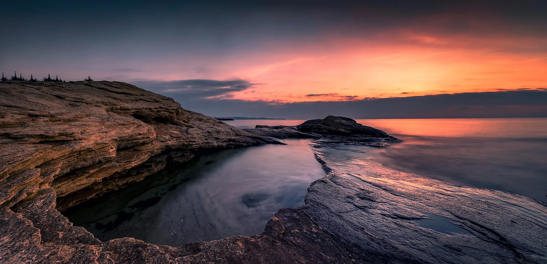
Black Sea
The Atlantic Ocean has several marginal and enclosed seas. The Black Sea is one of the marginal seas of the Atlantic and the ocean’s 13th largest sea. It covers a surface area of 436,402 km2, and has a volume of 547,000 km3.
Where Is The Black Sea?

The Black Sea lies between the continents of Asia and Europe. It is bound to the west by the Balkan Peninsula in Southeastern Europe, to the east by the Caucasus, north by East European Plains, and south by Anatolia of Western Asia. The black Sea drainage basin drains several countries, including the six countries that share its coast.
The sea is bordered to the north by Russia and Ukraine , Turkey to the south, Bulgaria to the west, and Georgia to the east. Romania also has an opening to the Black Sea. The Black Sea basin covers an area of approximately 2 million square kilometers and drains 25 countries.
The Black Sea has a coastline of approximately 5,800 kilometers, including the Sea of Azov. Russia has the longest coastline on the sea (2,300 km), followed by Turkey (1,329 km) and Ukraine (1,282 km)

Origin Of The Name
In almost all the countries bordering the sea, the name given to the inland water body is an equivalent of the Black Sea. However, in Greece, the sea has historically been referred to as the “Euxine Sea.” But, the name “Black Sea” is the sea’s official name even in a country where alternative names are used. So, why is the sea called “Black?”
In antiquity, the Black Sea was simply referred to as “the sea.” However, just before the Greek colonization, the Ancient Greeks named it the “Inhospitable Sea” because its shores were inhabited by hostile tribes, and the sea was also difficult to navigate. However, after the Pontus region was colonized by the Milesians and including it in Greek civilization, the sea was renamed “Hospitable Sea.”
There are numerous hypotheses as to why the sea was eventually named “The Black Sea.” One hypothesis is the dark color of the seawater. This dark color forms when dead animal and plant matter and wrecked ship stay underwater for a long time. Due to high hydrogen sulfide concentration, black sludge forms on these objects and dead bodies, giving the water its black color. Another theory is that the name “Black” was given to the sea by sailors, who observed that the sea turned black during severe storms in winter.
According to color symbolism, different colors represent the four cardinal directions. Black represents north, green or light blue represents east, red represents the south, and white is for the west. Thus, the Black Sea was referred to as the “Northern Sea.”
The Climate Of The Black Sea

The Black Sea region experiences climatic variation due to the North Atlantic Oscillation phenomena over the North Atlantic Ocean. This weather phenomena result from the interaction between the mid-latitude air mass and the North Atlantic Ocean. The relative strength of the North Atlantic oscillation reduces the amount of cold air reaching the northern portion during winter.
The coastal areas along with the Black Sea experience marine climate, characterized by warmer days between May and October. The average air temperature over the sea’s central portion in January is 46 degrees Fahrenheit and decreases westwards. In spring, the air temperature rises to 61 degrees Fahrenheit and 74 degrees Fahrenheit in the summer. The northwest portion experiences the lowest temperature, falling below -22 degrees Fahrenheit in winter. June, October, and December are the wettest months
Islands In The Black Sea

There are numerous islands of varying sizes in the Black Sea. The islands are administered by the various countries bordering the sea, including Russia, Bulgaria, Turkey, Romania, and Ukraine. Ukraine has the highest number of Islands in the Black Sea, including the sea’s largest island.
The largest island in the Black Sea is Dzharylhach Island in Ukraine. It covers an area of approximately 56 km2 and is 42 km long. The island is famous for its mineral springs and sandy beaches. Besides the springs, over 400 small salty lakes are scattered throughout its territory. Dzharylhach has unique flora and fauna that have been preserved. The island and the nearby bay are part of the Dzharylgach National Nature Park. Besides Dzharylgach, other Black Sea islands within Ukraine are Snake Island, Berezan, Nova Zemlia, and Swan Island.
The largest Black Sea island within Bulgarian territory is St. Ivan Island, covering an area of about 0.7 km2 and located near Sozopol town. The town is separated from St. Peter Island, another Bulgarian island in the Black Sea. St. Ivan Island is also Bulgaria’s highest island in the sea, standing at 33 meters above sea level. Other Black Sea islands in Bulgaria are St. Cyricus, St. Anastasia, St. Thomas, and Bird Island.
Russia, Turkey, and Romania have few islands in the Black Sea. Romania’s islands include Insula Sulinei, Insula K, and the newly formed Sacalin Island. Russia administers Sudjuk, Utrish, and Krupinin islands, while Turkish islands are Kefken, Amasra, Oreke, and Giresun Island.
Marine Life And Protected Areas

The Black Sea has a rich natural heritage as reflected by the active marine ecosystem. Most marine species in the Black Sea are adapted to nutrient-rich, brackish conditions. The sea features several phytoplankton groups, including diatoms, coccolithophores, and dinoflagellates. These phytoplanktons are important food sources for various marine species.
The sea and nearby regions are home to various animal species. The Black Sea is a native home to zebra mussel and common carp. It also hosts other fish species, including thornback rays, common stingray, smooth hammerhead, and common thresher. Megafaunas are bottlenose and common dolphins, porpoises, Mediterranean monk seals, beluga whales, and gray seals. However, it is unclear whether great white sharks can access the Black Sea.
Human activities, including pollution and settlement along the seashore, has negatively affected its ecology. The activities have led to a significant decline in some species. Dolphins and porpoises are endangered, while the Mediterranean monk seals are critically endangered.
In 1992, the six countries bordering the Black Sea ratified a convention on Black Sea protection, known as the Bucharest Convention. The convention sought to reduce the risk of extinction of marine species and conserve marine and coastal habitat. One of the aims of the Convention was to create a network of Marine Protected Areas (MPA). Some of the existing protected areas include Kaliakra Nature Reserve and Natural Park Ropotamo in Bulgaria, and Danube Delta Biosphere in Romania.
Brief History

During the post-glacial period, Black Sea water levels were much lower than they are today. The water levels rose after the last glacial period, with the Black Sea filling ahead of the Aegean Sea, whose levels also arose during this period. Other sources indicate that the rise in water level resulted from the Black Sea deluge, which took place around 5600 BC. However, the deluge is just a theory that has been subjected to a lot of debate.
The Black Sea was an important waterway in the ancient world. It was at the crossroad of Central Asia, Caucasus, Eurasia steppe, Mesopotamia, the Balkans, and Asia Minor. Greeks began colonizing the Black Sea from the 9th century BC onwards. They established successful trade networks connecting to the Mediterranean Sea. Greek colonies around the Black Sea developed their own culture known today as Pontic.
Human Settlements Along The Black Sea
|
Rank |
City |
Country |
Population (urban) |
|
1 |
Istanbul |
Turkey |
14,324,240 |
|
2 |
Odessa |
Ukraine |
1,003,705 |
|
3 |
Samsun |
Turkey |
535,401 |
|
5 |
Varna |
Bulgaria |
500,076 |
|
4 |
Constanta |
Romania |
491,498 |
|
6 |
Sevastopol |
disputed: Russia (de facto) / Ukraine (de jure) |
379,200 |
|
7 |
Sochi |
Russia |
343,334 |
|
8 |
Trabazon |
Turkey |
305,231 |
|
9 |
Novorossiysk |
Russia |
241,952 |
|
10 |
Burgas |
Bulgaria |
223,902 |
Table: The 10 most populous settlements along the Black Sea coast.
The Black Sea coasts are inhabited by the population from the six bordering countries. The coastal areas host some of the most important cities and towns in the region, including Samsun, Odessa, Istanbul, Sochi, Trabzon, and Burgas. Istanbul is the largest and most populous city along the Black Sea, with a population of 14.3 million people. Samsun, another Turkish city along the sea, has a population of 535,400 people.
Constanta is the most populous Romanian city along the Black Sea, with a population of about 492,000 people. The disputed city of Sevastopol has a population of about 380,000 people. Besides human settlement, the coastal areas also host numerous bays, spas, and resorts frequented by tourists.
Economy

The Black Sea is a strategic trade corridor that facilitates the movement of goods. It links Eastern Europe to the rest of the world, facilitating trade and commerce. The economic activities directly connected to the Black Sea are shipping, tourism, fisheries, oil, and gas. The sea has up to 30 operating seaports, including 12 in Ukraine. The seaports and bays serve up to 2,500 commercial vessels.
Fisheries is a key sector for the Black Sea economy, generating over $350 billion in annual revenue. Fishing is done mainly during winter, with most fish caught between November and December. Besides fish, the Black Sea has oil and natural gas reserves. However, exploration is ongoing, with major international companies involved in hydrocarbon exploration. So far, only 20 oil wells have been dug.

|
Feature |
Fact |
|
Surface Area |
436,402 km2 |
|
Maximum Depth |
2,212 m |
|
Average Depth |
1,253 m |
|
MaximumLength |
1,067 km |
|
Water Volume |
547,000 km3 |


