Maps of Virginia

Virginia is an expansive state, covering 42,774 square miles in the southeastern United States. It stretches from the Atlantic Coast to the Appalachian Mountains and shares its borders with six other states, including West Virginia, Maryland, and Tennessee. The state's geography is divisible into four distinct regions - Coastal Plain, Piedmont Region, Blue Ridge Mountains, and Valley and Ridge region.
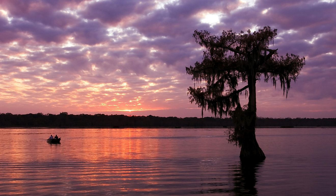
The Coastal Plain region encompasses the state's eastern portion and includes barrier islands, such as Chincoteague Island, which provide important habitats for wildlife. This region also contains marshlands and rivers like the James River. Average temperatures in this part of Virginia range between 70-90°F in the summer months and around 20-40°F during cold winter months.
The Piedmont region makes up most of central Virginia. This area is characterizable by rolling hills where farming is a significant industry. Temperature ranges are similar to coastal areas, but precipitation levels tend to be higher due to more frequent thunderstorms.
The Blue Ridge Mountains lie along Virginia's western border near West Virginia. This area has some of the highest elevation points in Virginia, with Mount Rogers towering at 5,729 feet above sea level, making it the highest point in Virginia's physiographic province (Blue Ridge Mountains). Temperatures here can be much lower than in the rest of Virginia, ranging from 0-35°F during winter and 50-75°F during summertime, when rainfall can be relatively high due to intense thunderstorms that often occur in this region.
The 150-mile-long Shenandoah Valley is nestled between the Blue Ridge and the Allegheny Mountains and has been one of the most productive agricultural areas of the state. From the central hills, the land slopes through the Piedmont Plateau, gradually descending to the Chesapeake Bay and to the lowlands of the Atlantic Coastal Plain.
Finally, The Valley and Ridge Region extends along Virginia's southwestern border with Tennessee. It includes Shenandoah National Park – one of America's most popular vacation destinations due to its spectacular views of mountains covered with forests full of wildlife like black bears, bobcats, wild turkeys, white-tailed deer, and bald eagles. Average temperatures here range from 30-60°F in winter but can be much hotter during summertime when temperatures often reach 90°F or higher due to rainless conditions common to this part of Virginia.
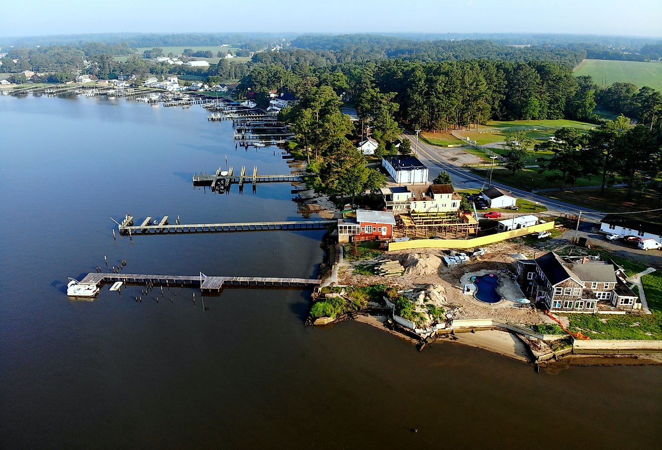
Furthermore, the Delmarva Peninsula occupies portions of three U.S. states: Delaware, Maryland, and Virginia. The peninsula is about 170 miles long and its land is mostly flat with a few low-lying hills. It is bordered by the Chesapeake Bay in the west and the Delaware River, Delaware Bay, and the Atlantic Ocean in the east. The peninsula's land is mostly flat with a few low-lying hills. Sandy beach fronts the state’s Atlantic Ocean coastline.
The significant rivers of Virginia, besides the James, include the Potomac, Shenandoah, Rappahannock, and York rivers. Large inland bodies of water include the John H. Kerr Reservoir and the Smith Mountain Lake. The state's lowest point is at the Atlantic Ocean (0ft).
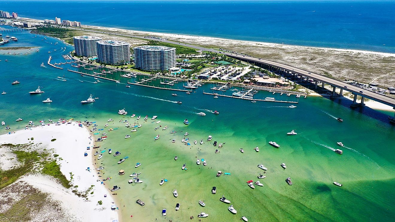
Last, Hampton Roads is one of the world’s largest and the most vital natural harbors, which incorporates the mouths of the Elizabeth, James, and Nansemond Rivers along with several smaller rivers in southeastern Virginia. It is notable for being a year-round ice-free harbor.
Counties Map

The State of Virginia is divided into 134 counties. In alphabetical order, these counties are: Accomack, Albemarle, Alexandria City, Alleghany, Amelia, Amherst, Appomattox, Arlington, Augusta, Bath, Bedford, Bedford City, Bland, Botetourt, Bristol, Brunswick, Buchanan, Buckingham, Buena Vista City, Campbell, Caroline, Carroll, Charles City, Charlotte, Charlottesville City, Chesapeake City, Chesterfield, Clarke, Colonial Heights City, Covington City, Craig, Culpeper, Cumberland, Danville City, Dickenson, Dinwiddie, Emporia City, Essex, Fairfax, Fairfax City, Falls Church City, Fauquier, Floyd, Fluvanna, Franklin, Franklin City, Frederick, Fredericksburg City, Galax City, Giles, Gloucester, Goochland, Grayson, Greene, Greensville, Halifax, Hampton City, Hanover, Harrisonburg City, Henrico, Henry, Highland, Hopewell City, Isle of Wight, James City, King and Queen, King George, King William, Lancaster, Lee, Lexington City, Loudoun, Louisa, Lunenburg, Lynchburg City, Madison, Manassas City, Manassas Park City, Martinsville City, Mathews, Mecklenburg, Middlesex, Montgomery, Nelson, New Kent, Newport News City, Norfolk City, Northampton, Northumberland, Norton City, Nottoway, Orange, Page, Patrick, Petersburg City, Pittsylvania, Poquoson City, Portsmouth City, Powhatan, Prince Edward, Prince George, Prince William, Pulaski, Radford City, Rappahannock, Richmond, Richmond City, Roanoke, Roanoke City, Rockbridge, Rockingham, Russell, Salem, Scott, Shenandoah, Smyth, Southampton, Spotsylvania, Stafford, Staunton City, Suffolk City, Surry, Sussex, Tazewell, Virginia Beach City, Warren, Washington, Waynesboro City, Westmoreland, Williamsburg City, Winchester City, Wise, Wythe, and York.
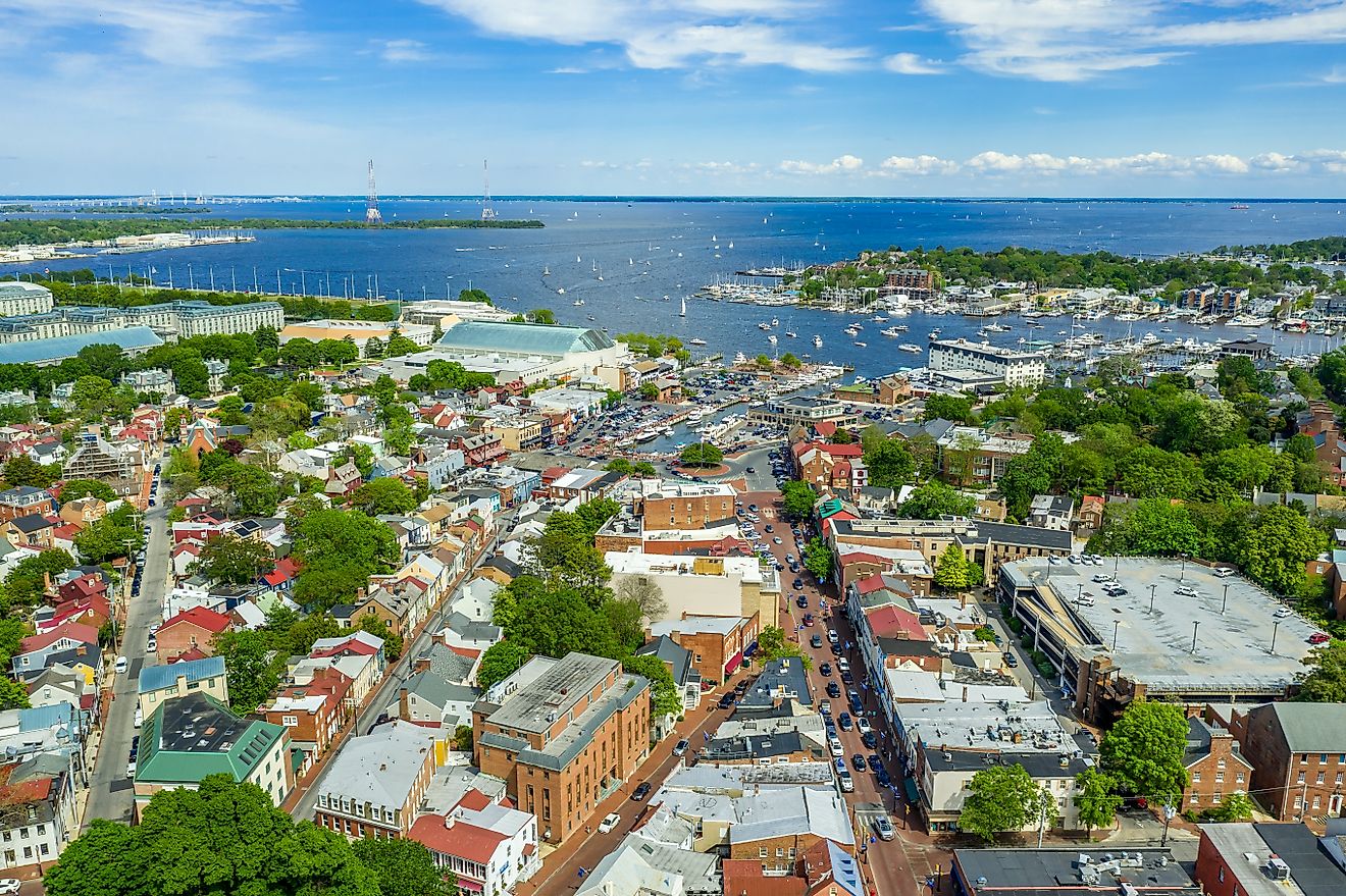
With an area of 110,784.7 sq. km, Virginia is the 35th largest state in the USA. Located in the east-central part of the state along the James River is Richmond – the capital city of Virginia. Government services, finance, IT, medical sciences are some of the major drivers of the city’s economy. Richmond also serves as a manufacturing hub for its prosperous tobacco industry. Situated in the southeastern part of the state, at the meeting point of the Chesapeake Bay and the Atlantic Ocean is Virginia Beach – the largest and the most populous city in Virginia. It is well known for being a resort city and its beaches have several restaurants, hotels, and motels on its oceanfront. The city also hosts numerous sporting events every year.
Where is Virginia?

The State of Virginia is located in the South Atlantic Region of the United States. Virginia is bordered by the states of North Carolina in the south; by Tennessee in the southwest; by Kentucky in the west; by West Virginia in the northwest and by Maryland and Washington D.C. in the northeast. It is also bounded by the Chesapeake Bay in the east and by the Atlantic Ocean in the southeast.
Regional Maps: Map of North America
Outline Map of Virginia

The above blank map represents the State of Virginia, located in the South Atlantic Region of the United States. The above map can be downloaded, printed and used for geography education purposes like map-pointing and coloring activities.

The above outline map represents the State of Virginia, located in the South Atlantic Region of the United States.
Key Facts
| Legal Name | State of Virginia |
|---|---|
| ISO 3166 Code | US-VA |
| Capital City | Richmond |
| Major Cities |
|
This page was last updated on March 15, 2023