Maps of North Carolina

North Carolina is a state in the southeastern United States. It borders Virginia to the north, the Atlantic Ocean to the east, South Carolina to the south, and Georgia and Tennessee to the west. The state covers a total area of approximately 53,819 mi2 (139,390 km2).
North Carolina, from west to east, is divisible into three primary geographic regions:
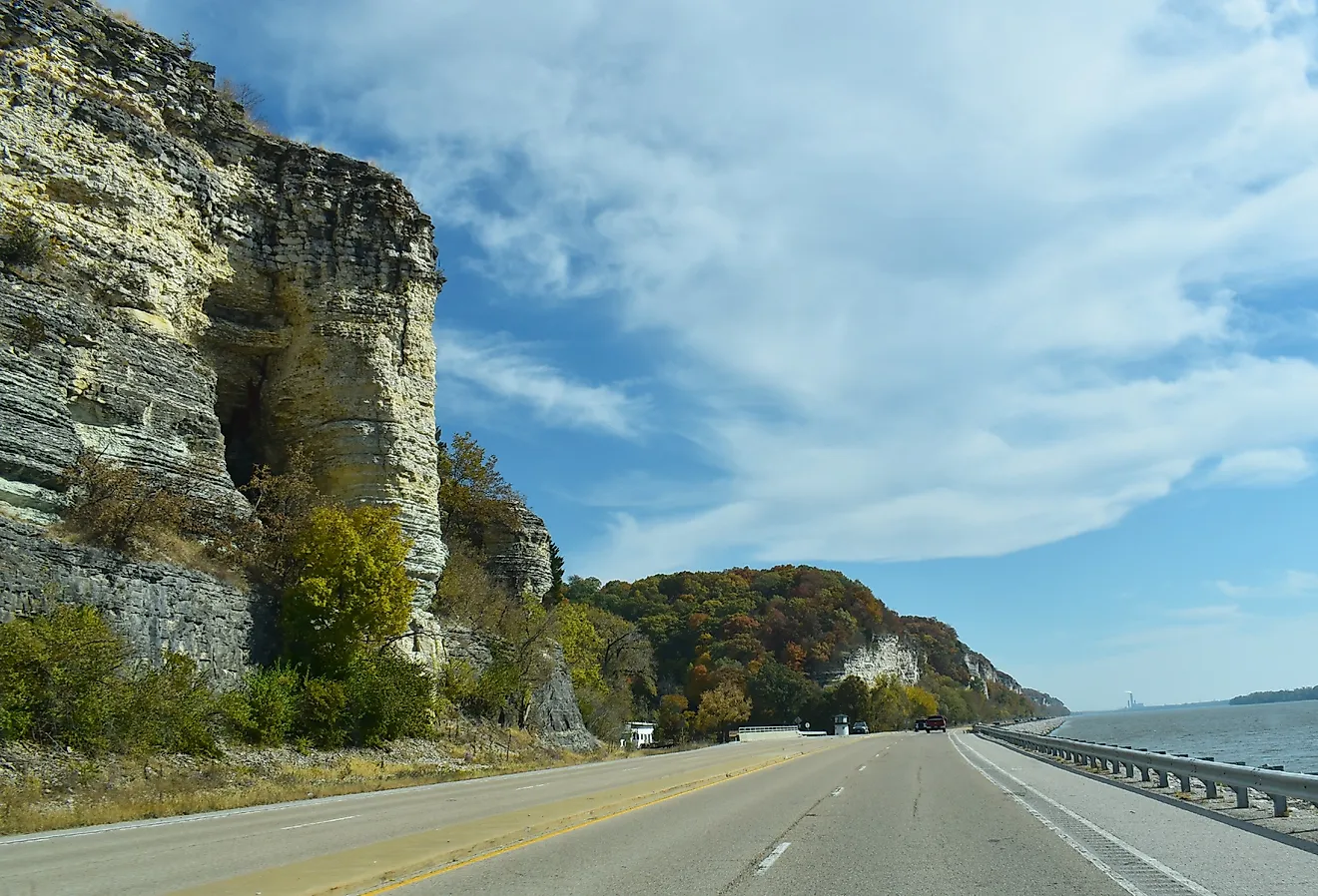
Blue Ridge Mountains: The Blue Ridge Mountains, part of the Appalachian Mountains, dominate the western part of North Carolina. This region is characterized by its rugged terrain with numerous peaks and valleys. The highest point in the state, Mount Mitchell, rises to an elevation of 6,684 feet (2,037 meters), making it the tallest peak in the eastern United States. The mountains are traversed by the scenic Blue Ridge Parkway and are known for their distinct blue appearance, attributed to the isoprene released by the abundant trees.
Piedmont: East of the Blue Ridge Mountains lies the Piedmont region, a plateau that gradually descends towards the Coastal Plain. This area, covering about half of the state, is marked by rolling hills and is home to many of North Carolina's major cities, including Charlotte and Raleigh. The Piedmont is bounded by the fall line, a geological boundary where rivers form waterfalls and rapids as they descend from the harder rocks of the Piedmont to the softer sediments of the Coastal Plain. The Uwharrie Mountains, an ancient range estimated to be over 500 million years old, are a notable feature in this region.
Coastal Plain: The Coastal Plain region, extending from the Piedmont to the Atlantic Ocean, is predominantly flat and encompasses the eastern half of the state. This area is distinguished by its wide estuaries and sounds, including the Pamlico and Albemarle Sounds. The Great Dismal Swamp, shared with Virginia, is a significant feature in the northeastern part of the Coastal Plain. The region's lowest point, at sea level, is found along the coastline.
Islands and Major Bodies of Water: North Carolina's geography is further enriched by its islands and major bodies of water. The state's coast is lined with a series of barrier islands known as the Outer Banks, which shield the mainland from the Atlantic Ocean and create a unique environment for wildlife and vegetation. Major rivers such as the Catawba, Neuse, and Cape Fear flow through the state, playing a crucial role in shaping the landscape. Lake Norman, located in the Piedmont, is the largest man-made lake in North Carolina.
Counties Map

The State of North Carolina is divided into 100 counties. In alphabetical order, these counties are: Alamance, Alexander, Alleghany, Anson, Ashe, Avery, Beaufort, Bertie, Bladen, Brunswick, Buncombe, Burke, Cabarrus, Caldwell, Camden, Carteret, Caswell, Catawba, Chatham, Cherokee, Chowan, Clay, Cleveland, Columbus, Craven, Cumberland, Currituck, Dare, Davidson, Davie, Duplin, Durham, Edgecombe, Forsyth, Franklin, Gaston, Gates, Graham, Granville, Greene, Guilford, Halifax, Harnett, Haywood, Henderson, Hertford, Hoke, Hyde, Iredell, Jackson, Johnston, Jones, Lee, Lenoir, Lincoln, Macon, Madison, Martin, McDowell, Mecklenburg, Mitchell, Montgomery, Moore, Nash, New Hanover, Northampton, Onslow, Orange, Pamlico, Pasquotank, Pender, Perquimans, Person, Pitt, Polk, Randolph, Richmond, Robeson, Rockingham, Rowan, Rutherford, Sampson, Scotland, Stanly, Stokes, Surry, Swain, Transylvania, Tyrrell, Union, Vance, Wake, Warren, Washington, Watauga, Wayne, Wilkes, Wilson, Yadkin, and Yancey.
With an area of 139,396 sq. km, the State of North Carolina is the 28th largest and the 9th most populous state in the USA. Located in Wake County in the central part of the state is Raleigh – the capital city of North Carolina. The Raleigh city also hosts the state’s Research Triangle, which is one of the largest research institutions in the United States. Situated in the Piedmont Plateau region, in the Mecklenburg County is Charlotte – the largest and the most populous city of North Carolina. It serves as the economic, transportation, and cultural center of the Charlotte Metropolitan Area.
Where is North Carolina?

The State of North Carolina is located in the south-eastern region of the United States. North Carolina is bordered by the state of South Carolina in the south; by Georgia in the southwest; by Tennessee in the west; and by Virginia in the north. It is bounded by the Atlantic Ocean in the east.
Regional Maps: Map of North America
Outline Map of North Carolina

The above blank map represents the State of North Carolina, located in the south-eastern region of the United States. The above map can be downloaded, printed and used for geography education purposes like map-pointing and coloring activities.

The above outline map represents the State of North Carolina, located in the south-eastern region of the United States.
Key Facts
| Legal Name | State of North Carolina |
|---|---|
| ISO 3166 Code | US-NC |
| Capital City | Raleigh |
| Major Cities |
|
This page was last updated on January 18, 2024