Mason-Dixon Line
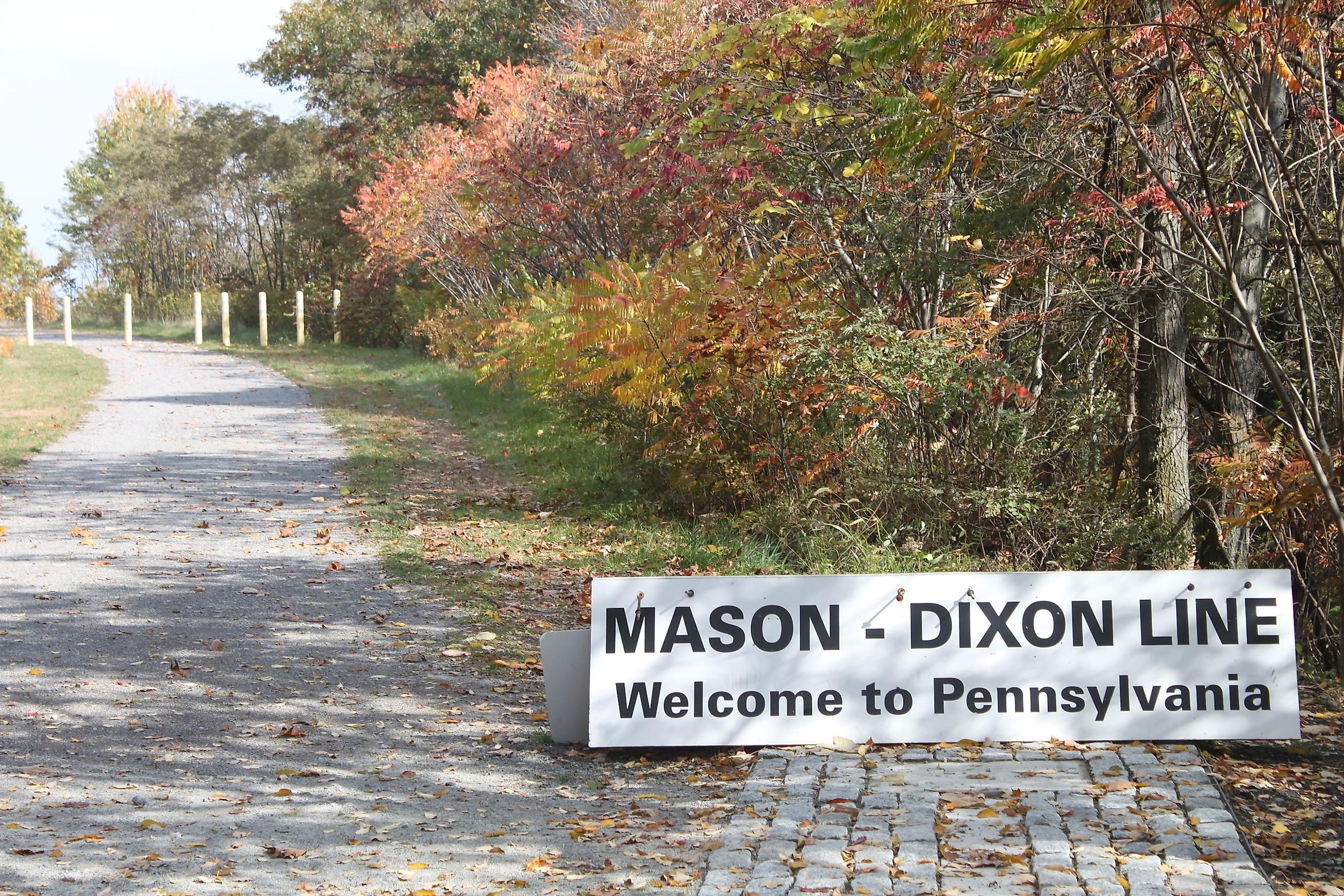
The Mason-Dixon Line is a boundary line that was drawn to solve a border dispute between the erstwhile British colonies in Colonial America. The 375 km long line was surveyed from 1763 to 1767 by Charles Mason and Jeremiah Dixon and currently serves as a demarcation line that forms a portion of the state borders of West Virginia, Delaware, Maryland, and Pennsylvania. Along with the Ohio River, the Mason-Dixon Line served as a symbolic divider between the slave states in the south and the free states in the north. The term “Mason-Dixon Line” was first officially used during the Congressional debates that led to the Missouri Compromise in 1820. The Mason-Dixon Line thus represents a cultural border between the Northern and Southern United States.
Geography
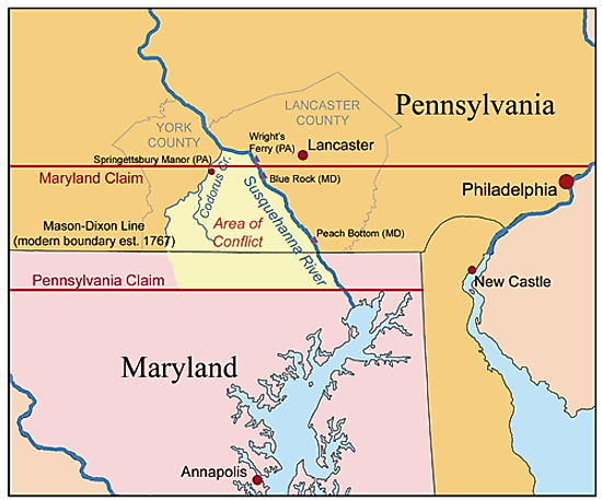
The original Mason-Dixon survey line began at Pennsylvania in the southern part of Philadelphia and stretched from a benchmark east to the Delaware River and from there, west to the area that was then considered as the land boundary with West Virginia. Mason and Dixon, therefore, fixed the boundary between Pennsylvania and Delaware and estimated the north-south part of the boundary between Delaware and Maryland. It was observed that most of the Delaware-Pennsylvania border is shaped like a circular arc, while the Delaware-Maryland boundary did not run in the usual north-south direction, as it was thought to bisect the Delmarva Peninsula and therefore did not follow the course of the meridian. Mason and Dixon also extended the borderline about 64 km to the west of Maryland’s western boundary into a disputed region. The survey line finally ended approximately 50 km to the east of the southwestern edge of Pennsylvania.
Brief History
In 1632, King Charles I granted the “Maryland Charter” to Cecil Calvert, the second Lord Baltimore, for establishing a colony to the north of the Potomac River right up to the 40° N Latitude. In 1681, King Charles II granted the “Pennsylvania Charter” to William Penn for the land between the 43° N Latitude and the western part of the 40° N Latitude. Therefore, according to the charters, both Maryland and Pennsylvania claimed the area between the 39th and 40th parallels. In 1682, Penn received an additional grant from Charles II in the Delaware Peninsula. The "Three Lower Counties" that were situated along the Delaware Bay, later became a part of the Delaware Colony. These areas were initially claimed by Lord Baltimore as per the original Maryland Charter. The King ordered in 1685 that the disputed territory be shared equally, which led to longstanding bitterness between the two governments.
Maryland’s Proprietary Governor signed an agreement with the sons of William Penn in 1732. As per their agreement, a line was drawn somewhere in between, and the Governor also renounced their claim of Delaware. However, Lord Baltimore later refused to put the agreement into effect, claiming it was not the agreement he had consented to. This ongoing border dispute between the Calvert family of Maryland and the Penn family of Pennsylvania finally erupted into the Cresap’s War during the mid-1730s. After several years of war, King George II of England finally negotiated a ceasefire in 1738, putting an end to the armed conflict but not to the territorial dispute.
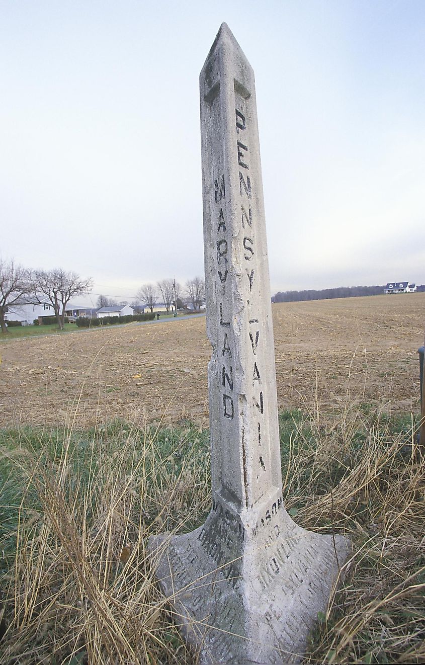
Shortly thereafter, the disputants commissioned the English astronomer Charles Mason and the English surveyor Jeremiah Dixon to mark the official boundary and solve their property dispute. The two experts started surveying the Pennsylvania-Maryland border in April 1763. They used celestial measurements to mark an accurate 393 km long boundary between Pennsylvania and Maryland and the 133 km long border between Maryland and Delaware. As per the settlement terms, the Mason-Dixon Line featured four different segments such as the north line, arc line, tangent line, and the 39°43' N parallel. However, as their Indigenous Iroquois guides refused to move any further west past the Delaware border, the surveyors submitted their final observation of a 375 km line on October 9, 1767.
The Mason-Dixon line was resurveyed several times in 1849, 1900, and the 1960s, and every time it was found to be remarkably accurate.

