Maps of Belize
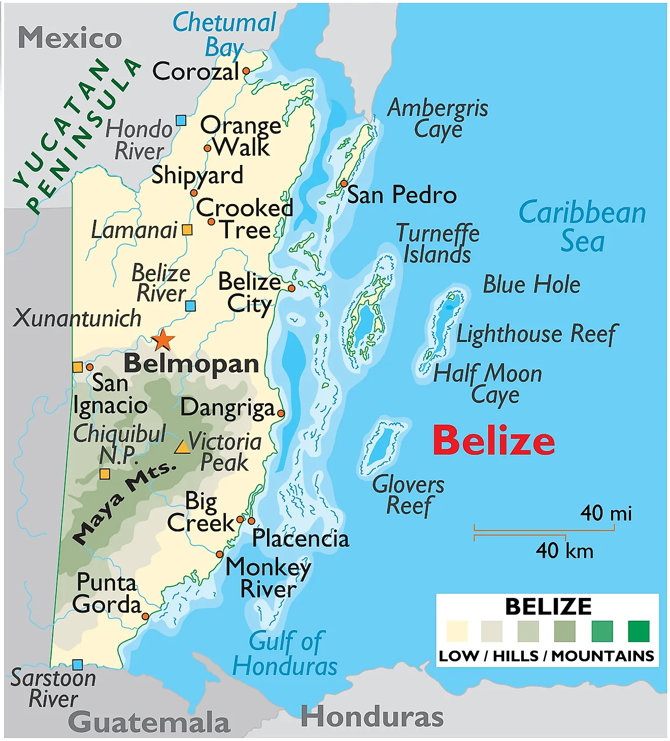
Belize, a country positioned in Central America, stretches over a total area of about 8,867 square miles (22,970 square kilometers). To the north, it borders Mexico, while it flanks Guatemala to the west and south. Its eastern side confronts the Caribbean Sea, thereby offering it a strategic coastal line that significantly influences the country's geography and climate.
Belize comprises several geographical regions, each with its unique characteristics. First, the northern lowlands encompass the northernmost parts of Belize. The land in this region is flat and characterized by a dense marshy landscape. It's home to Belize's most productive agricultural lands, primarily used for sugarcane and citrus fruit cultivation.
Belize's coastal plains, meanwhile, stretch along the eastern side of the country, hugging the Caribbean Sea. The area mainly consists of swampy savanna and lagoon-laced mangrove. Belize's Barrier Reef, part of the Mesoamerican Barrier Reef System, the second-largest reef system in the world, lies offshore. This reef system plays a crucial role in supporting marine life, protecting the coastline, and contributing to Belize's tourism.
In contrast to the lowlands and coastal plains, the Maya Mountains rise in the country's southern interior, stretching from Belize into Guatemala. This highland region is known for its rocky landscapes, steep slopes, and fast-flowing rivers. The highest point in Belize, Doyle's Delight, stands at about 3,688 feet (1,124 meters) and is found in this region. The Maya Mountains are also an important source of timber and other forest products.
Running through these geographical regions, Belize hosts a network of significant rivers. The longest river in Belize, the Belize River, courses for about 180 miles (290 kilometers) through the country, serving as an essential water source and a historic transportation route. Other key rivers include the Hondo River, which forms part of the northern border with Mexico, and the Sarstoon River delineating the southern boundary with Guatemala.
Numerous islands or cayes pepper Belize's coastal waters, most notably Ambergris Caye, which is the largest. These islands are an integral part of Belize's geography, contributing to its biodiversity and offering unique habitats for many species.
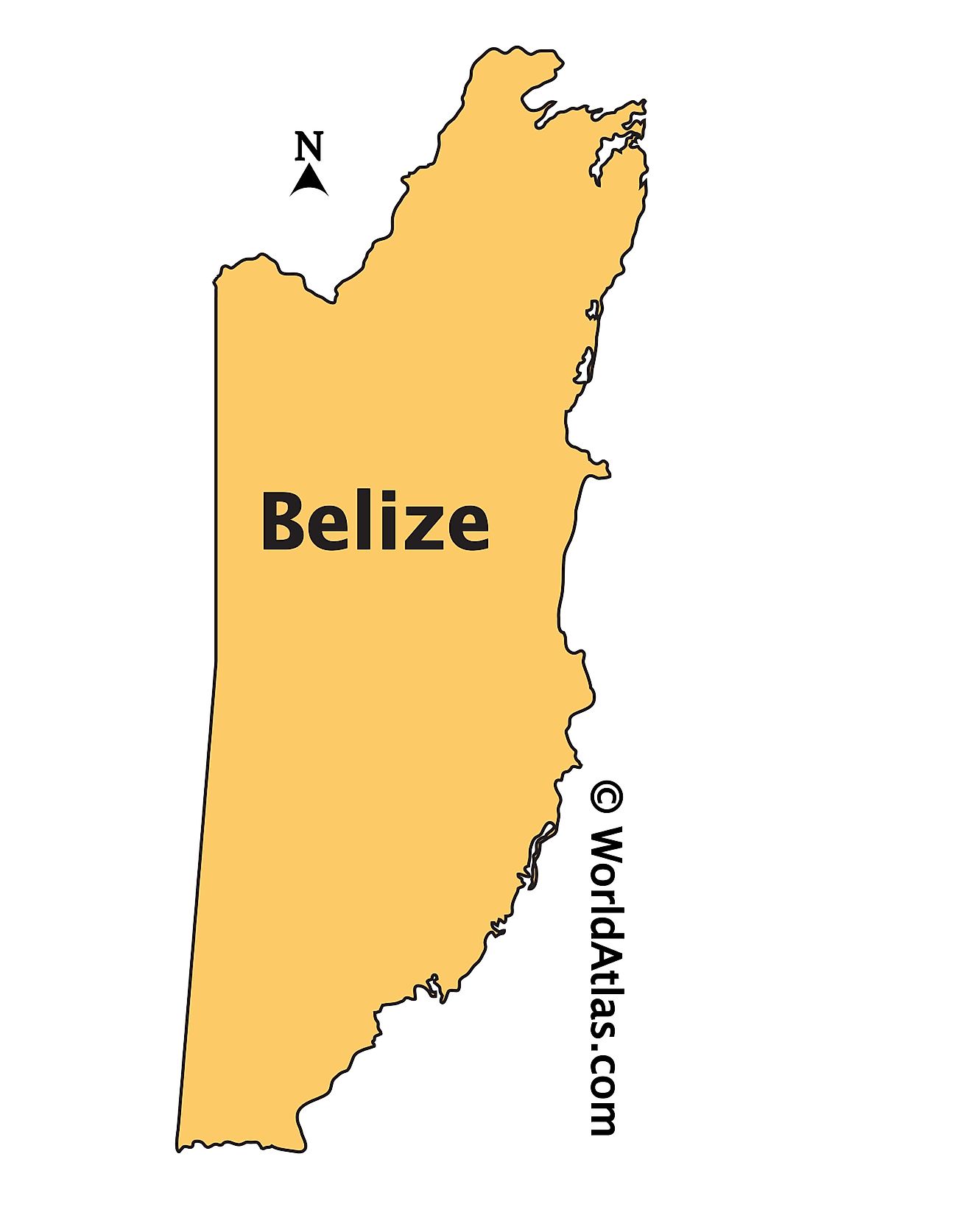
Districts Map of Belize
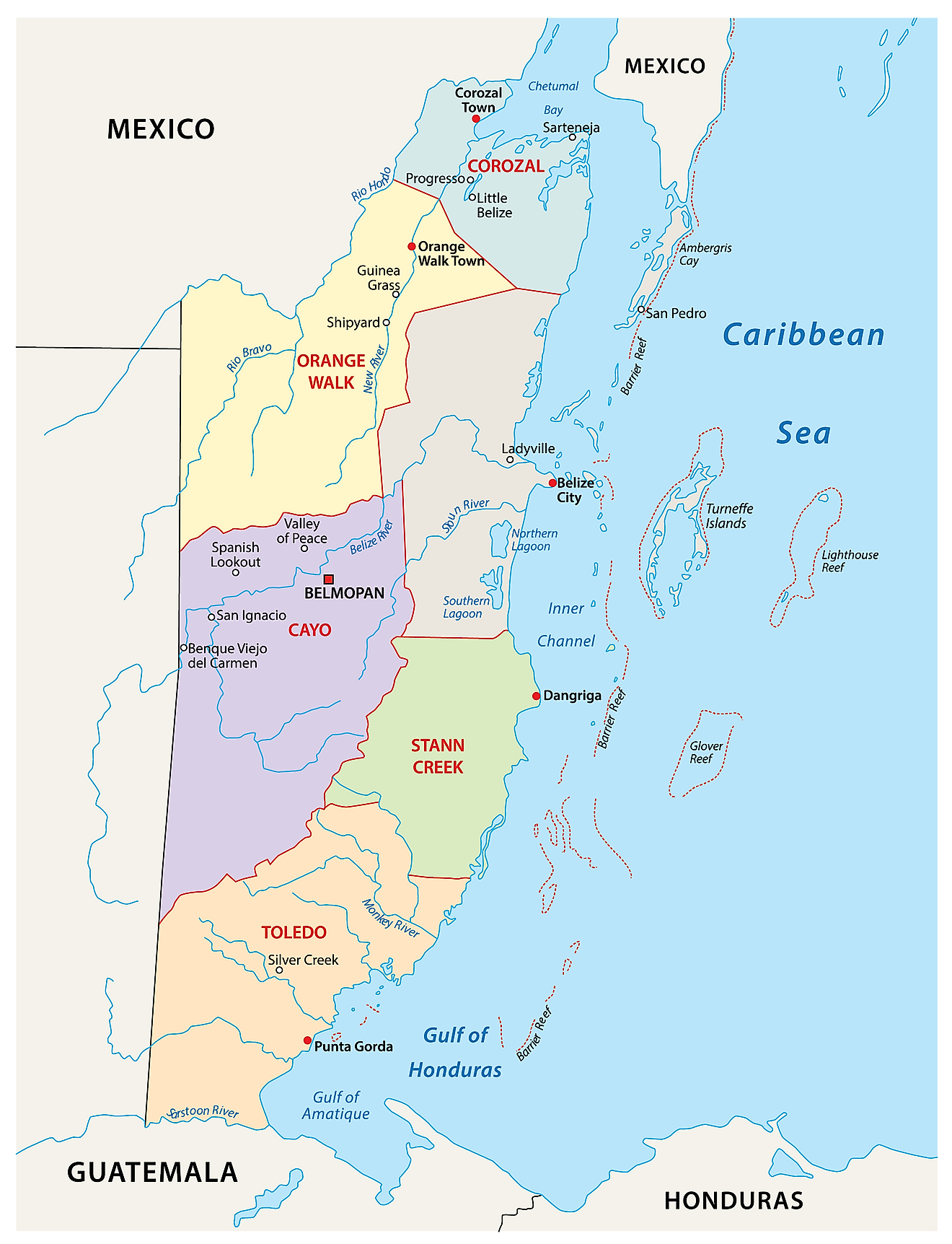
Belize is divided into 6 districts. In alphabetical order, the districts are: Belize, Cayo, Corozal, Orange Walk, Stann Creek and Toledo. These districts are further subdivided into 31 constituencies.
Covering an area of 22,970 sq. km, Belize has the lowest population density in Central America and the 2nd highest population growth rate in the region. Located near the Belize River Valley about 50 miles inland from the Caribbean coast is, Belmopan – the capital, the 3rd largest and the most populous city of Belize. It is also the administrative, cultural and commercial center of the country. Belize City is the largest city of Belize. It is also the industrial and financial center of the country as well as its principal port.
Where is Belize?
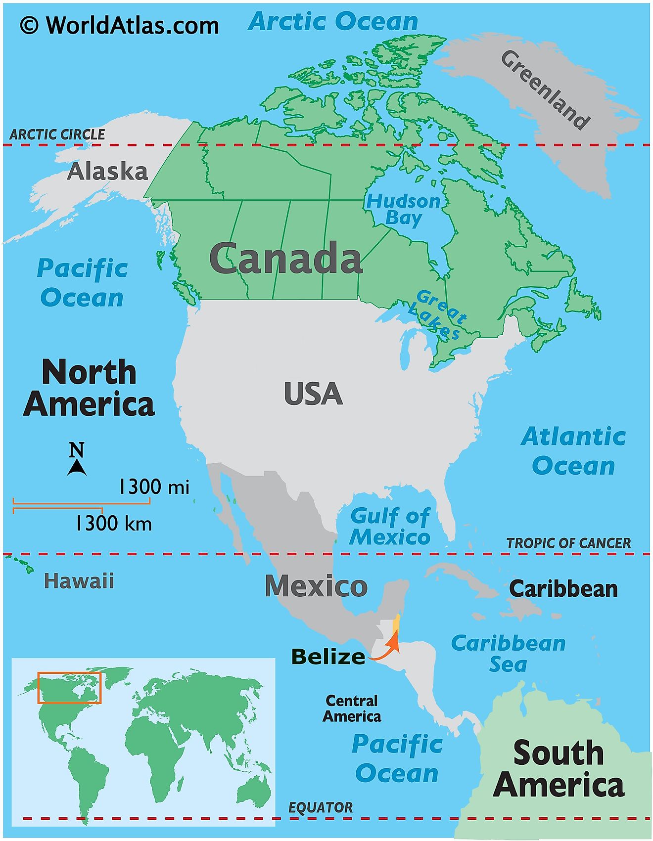
Belize is a country located on the Caribbean coast of Northern Central America, on the Yucatan Peninsula. It is positioned in the Northern and Western hemispheres of the Earth. Belize is bordered by Mexico to the northwest; by Guatemala to the west and south and by the Caribbean Sea to the east.
Belize Bordering Countries: Mexico, Guatemala.
Regional Maps: Map of North America
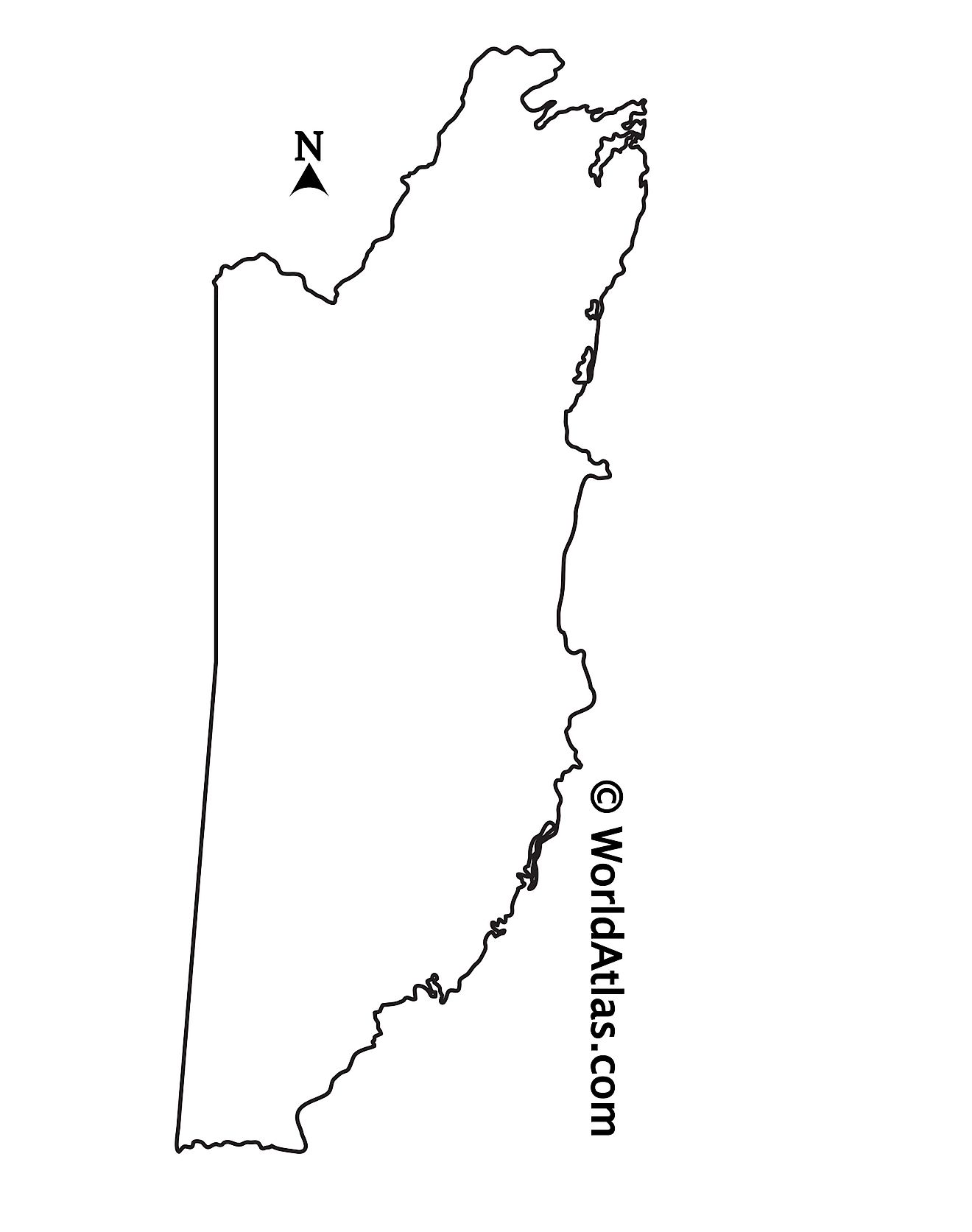
Outline Map of Belize
Key Facts
| Legal Name | Belize |
|---|---|
| Flag |
|
| Capital City | Belmopan |
| 17 15 N, 88 46 W | |
| Total Area | 22,966.00 km2 |
| Land Area | 22,806.00 km2 |
| Water Area | 160.00 km2 |
| Population | 390,353 |
| Currency | Belizean dollars (BZD) |
| GDP | $1.88 Billion |
| GDP Per Capita | $4,815.16 |
This page was last updated on June 14, 2023
