Where is Crawford County, Pennsylvania?
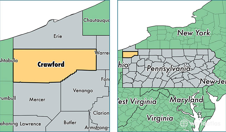
Crawford County is a county equivalent area found in Pennsylvania, USA. The county government of Crawford is found in the county seat of Meadville.
With a total 2,687.15 sq. km of land and water area, Crawford County, Pennsylvania is the 729th largest county equivalent area in the United States. Home to 87,175 people, Crawford County has a total 44233 households earning 42504 on average per year.
Crawford County, Pennsylvania - Quick Facts
| FIPS Code | 42039 |
| Area Codes | 724,814 |
| Time Zone | EST |
| Major Cities | Meadville (population: 28,071), Titusville (population: 11,229), Union City (population: 8,064), Cambridge Springs (population: 6,941), Cochranton (population: 5,436), Conneaut Lake (population: 5,364), Saegertown (population: 5,313), Linesville (population: 4,614), Jamestown (population: 3,842), Conneautville (population: 3,462) |
| Land Area | 33,658 sq miles |
| Water Area | 1,012 sq miles |
| Household Income | $42,504 |
| Housing Units | 44,233 |
| Median Home Value | $102,700 |
| High School Grads | 87% of population |
| Holders of Bachelors Degrees | 19% of population |
| Retail Spending | $9,859 per capita |
| Food & Accomodation Sales | $90,060 per capita |
This page was last updated on June 30, 2016.