Where is Lake County, Oregon?
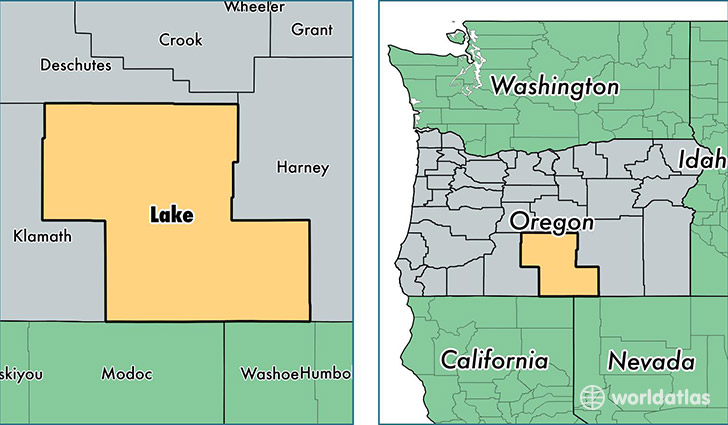
Lake County is a county equivalent area found in Oregon, USA. The county government of Lake is found in the county seat of Lakeview.
With a total 21,647.84 sq. km of land and water area, Lake County, Oregon is the 38th largest county equivalent area in the United States. Home to 7,838 people, Lake County has a total 4376 households earning 33611 on average per year.
Lake County, Oregon - Quick Facts
| FIPS Code | 41037 |
| Area Codes | 541 |
| Time Zone | PST |
| Major Cities | Lakeview (population: 5,015), Christmas Valley (population: 1,292), Silver Lake (population: 499), Paisley (population: 380), New Pine Creek (population: 280), Fort Rock (population: 162), Adel (population: 109), Summer Lake (population: 97), Plush (population: 74) |
| Land Area | 3,026 sq miles |
| Water Area | 8,139 sq miles |
| Household Income | $33,611 |
| Housing Units | 4,376 |
| Median Home Value | $144,100 |
| High School Grads | 84% of population |
| Holders of Bachelors Degrees | 19% of population |
| Retail Spending | $7,219 per capita |
| Food & Accomodation Sales | $7,159 per capita |
This page was last updated on June 30, 2016.