Where is Roosevelt County, Montana?
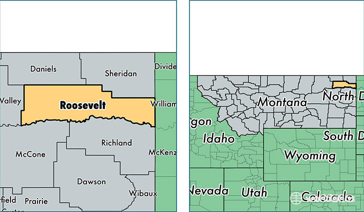
Roosevelt County is a county equivalent area found in Montana, USA. The county government of Roosevelt is found in the county seat of Wolf Point.
With a total 6,136.98 sq. km of land and water area, Roosevelt County, Montana is the 254th largest county equivalent area in the United States. Home to 11,332 people, Roosevelt County has a total 4069 households earning 36920 on average per year.
Roosevelt County, Montana - Quick Facts
| FIPS Code | 30085 |
| Area Codes | 406 |
| Time Zone | MST |
| Major Cities | Wolf Point (population: 5,322), Poplar (population: 3,597), Culbertson (population: 974), Brockton (population: 813), Froid (population: 429), Bainville (population: 390) |
| Land Area | 4,375 sq miles |
| Water Area | 2,355 sq miles |
| Household Income | $36,920 |
| Housing Units | 4,069 |
| Median Home Value | $70,100 |
| High School Grads | 84% of population |
| Holders of Bachelors Degrees | 14% of population |
| Retail Spending | $9,869 per capita |
| Food & Accomodation Sales | $9,667 per capita |
| Universities and Colleges | Fort Peck Community College |
This page was last updated on June 30, 2016.