Where is Franklin County, Missouri?
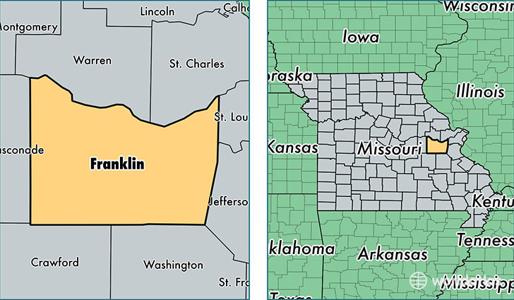
Franklin County is a county equivalent area found in Missouri, USA. The county government of Franklin is found in the county seat of Union.
With a total 2,410.46 sq. km of land and water area, Franklin County, Missouri is the 874th largest county equivalent area in the United States. Home to 102,084 people, Franklin County has a total 43516 households earning 48857 on average per year.
Franklin County, Missouri - Quick Facts
| FIPS Code | 29071 |
| Area Codes | 573,636 |
| Time Zone | CST |
| Major Cities | Washington (population: 21,507), Union (population: 17,400), Pacific (population: 15,657), Sullivan (population: 13,985), Saint Clair (population: 11,788), Villa Ridge (population: 5,960), New Haven (population: 4,903), Gerald (population: 3,238), Robertsville (population: 3,192), Lonedell (population: 2,459) |
| Land Area | 39,415 sq miles |
| Water Area | 923 sq miles |
| Household Income | $48,857 |
| Housing Units | 43,516 |
| Median Home Value | $150,500 |
| High School Grads | 85% of population |
| Holders of Bachelors Degrees | 18% of population |
| Retail Spending | $13,268 per capita |
| Food & Accomodation Sales | $109,271 per capita |
This page was last updated on June 30, 2016.