Where is Perry County, Indiana?
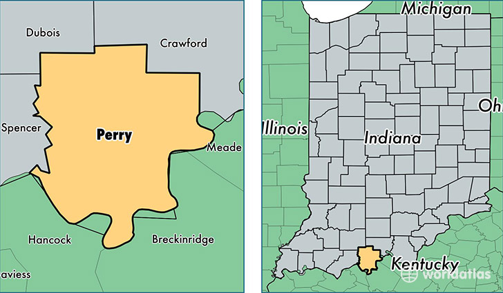
Perry County is a county equivalent area found in Indiana, USA. The county government of Perry is found in the county seat of Tell City.
With a total 1,000.49 sq. km of land and water area, Perry County, Indiana is the 2645th largest county equivalent area in the United States. Home to 19,454 people, Perry County has a total 8458 households earning 47596 on average per year.
Perry County, Indiana - Quick Facts
| FIPS Code | 18123 |
| Area Codes | 812 |
| Time Zone | CST |
| Major Cities | Tell City (population: 11,002), Cannelton (population: 3,287), Branchville (population: 1,568), Bristow (population: 971), Leopold (population: 653), Saint Croix (population: 390), Derby (population: 384), Rome (population: 148) |
| Land Area | 7,511 sq miles |
| Water Area | 382 sq miles |
| Household Income | $47,596 |
| Housing Units | 8,458 |
| Median Home Value | $97,300 |
| High School Grads | 84% of population |
| Holders of Bachelors Degrees | 11% of population |
| Retail Spending | $8,097 per capita |
This page was last updated on June 30, 2016.