Orange County, TX, USA
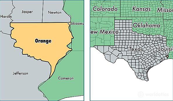
Orange County is a county equivalent area found in Texas, USA. The county government of Orange is found in the county seat of Orange.
With a total 982.98 sq. km of land and water area, Orange County, Texas is the 2661st largest county equivalent area in the United States. Home to 83,433 people, Orange County has a total 35780 households earning 49507 on average per year.
Orange County, Texas - Quick Facts
| FIPS Code | 48361 |
| Area Codes | 409 |
| Time Zone | CST |
| Major Cities | Orange (population: 50,189), Vidor (population: 27,406), Bridge City (population: 8,333) |
| Land Area | 32,214 sq miles |
| Water Area | 334 sq miles |
| Household Income | $49,507 |
| Housing Units | 35,780 |
| Median Home Value | $91,900 |
| High School Grads | 86% of population |
| Holders of Bachelors Degrees | 13% of population |
| Retail Spending | $10,328 per capita |
| Food & Accomodation Sales | $85,256 per capita |