Menard County, TX, USA
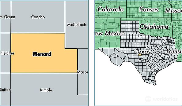
Menard County is a county equivalent area found in Texas, USA. The county government of Menard is found in the county seat of Menard.
With a total 2,336.86 sq. km of land and water area, Menard County, Texas is the 950th largest county equivalent area in the United States. Home to 2,147 people, Menard County has a total 1692 households earning 31215 on average per year.
Menard County, Texas - Quick Facts
| FIPS Code | 48327 |
| Area Codes | 325 |
| Time Zone | CST |
| Major Cities | Menard (population: 1,980), Hext (population: 77), Fort McKavett (population: 60) |
| Land Area | 829 sq miles |
| Water Area | 902 sq miles |
| Household Income | $31,215 |
| Housing Units | 1,692 |
| Median Home Value | $56,400 |
| High School Grads | 75% of population |
| Holders of Bachelors Degrees | 19% of population |
| Retail Spending | $7,758 per capita |