Marlboro County, SC, USA
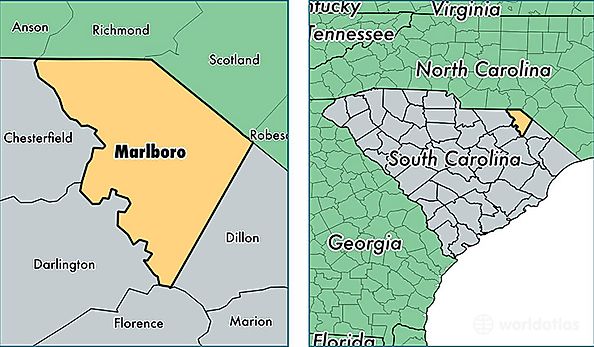
Marlboro County is a county equivalent area found in South Carolina, USA. The county government of Marlboro is found in the county seat of Bennettsville.
With a total 1,256.85 sq. km of land and water area, Marlboro County, South Carolina is the 2227th largest county equivalent area in the United States. Home to 27,924 people, Marlboro County has a total 11905 households earning 28297 on average per year.
Marlboro County, South Carolina - Quick Facts
| FIPS Code | 45069 |
| Area Codes | 843 |
| Time Zone | EST |
| Major Cities | Bennettsville (population: 18,982), McColl (population: 3,806), Wallace (population: 2,357), Clio (population: 1,973), Blenheim (population: 806), Tatum (population: 117) |
| Land Area | 10,782 sq miles |
| Water Area | 480 sq miles |
| Household Income | $28,297 |
| Housing Units | 11,905 |
| Median Home Value | $58,200 |
| High School Grads | 70% of population |
| Holders of Bachelors Degrees | 9% of population |
| Retail Spending | $5,499 per capita |
| Food & Accomodation Sales | $13,417 per capita |