Clay County, NE, USA
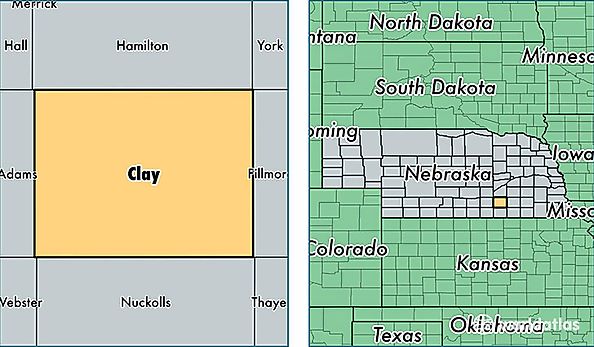
Clay County is a county equivalent area found in Nebraska, USA. The county government of Clay is found in the county seat of Clay Center.
With a total 1,485.46 sq. km of land and water area, Clay County, Nebraska is the 1896th largest county equivalent area in the United States. Home to 6,315 people, Clay County has a total 2987 households earning 46784 on average per year.
Clay County, Nebraska - Quick Facts
| FIPS Code | 31035 |
| Area Codes | 402 |
| Time Zone | CST |
| Major Cities | Sutton (population: 1,850), Harvard (population: 1,296), Clay Center (population: 913), Edgar (population: 735), Fairfield (population: 570), Trumbull (population: 381), Deweese (population: 184), Saronville (population: 156), Inland (population: 92), Ong (population: 84) |
| Land Area | 2,438 sq miles |
| Water Area | 572 sq miles |
| Household Income | $46,784 |
| Housing Units | 2,987 |
| Median Home Value | $76,100 |
| High School Grads | 87% of population |
| Holders of Bachelors Degrees | 18% of population |
| Retail Spending | $9,604 per capita |
| Food & Accomodation Sales | $1,388 per capita |