Clay County, MO, USA
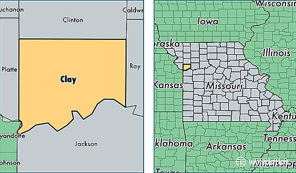
Clay County is a county equivalent area found in Missouri, USA. The county government of Clay is found in the county seat of Liberty.
With a total 1,058.45 sq. km of land and water area, Clay County, Missouri is the 2554th largest county equivalent area in the United States. Home to 233,682 people, Clay County has a total 94194 households earning 60936 on average per year.
Clay County, Missouri - Quick Facts
| FIPS Code | 29047 |
| Area Codes | 816 |
| Time Zone | CST |
| Major Cities | Kansas City (population: 150,306), Liberty (population: 37,201), Excelsior Springs (population: 16,486), Kearney (population: 13,373), Smithville (population: 11,768), Holt (population: 4,183), Missouri City (population: 245) |
| Land Area | 90,225 sq miles |
| Water Area | 398 sq miles |
| Household Income | $60,936 |
| Housing Units | 94,194 |
| Median Home Value | $153,700 |
| High School Grads | 92% of population |
| Holders of Bachelors Degrees | 31% of population |
| Retail Spending | $15,427 per capita |
| Food & Accomodation Sales | $822,122 per capita |