Where is Johnson County, Arkansas?
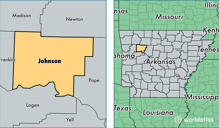
Johnson County is a county equivalent area found in Arkansas, USA. The county government of Johnson is found in the county seat of Clarksville.
With a total 1,768.3 sq. km of land and water area, Johnson County, Arkansas is the 1485th largest county equivalent area in the United States. Home to 26,005 people, Johnson County has a total 11295 households earning 31003 on average per year.
Johnson County, Arkansas - Quick Facts
| FIPS Code | 5071 |
| Area Codes | 479 |
| Time Zone | CST |
| Major Cities | Clarksville (population: 15,106), Lamar (population: 3,968), Hartman (population: 2,179), Knoxville (population: 1,233), Coal Hill (population: 936), Ozone (population: 706), Oark (population: 318), Hagarville (population: 244) |
| Land Area | 10,041 sq miles |
| Water Area | 660 sq miles |
| Household Income | $31,003 |
| Housing Units | 11,295 |
| Median Home Value | $88,700 |
| High School Grads | 80% of population |
| Holders of Bachelors Degrees | 15% of population |
| Retail Spending | $7,942 per capita |
| Food & Accomodation Sales | $20,545 per capita |
This page was last updated on June 30, 2016.