Maps of Vermont
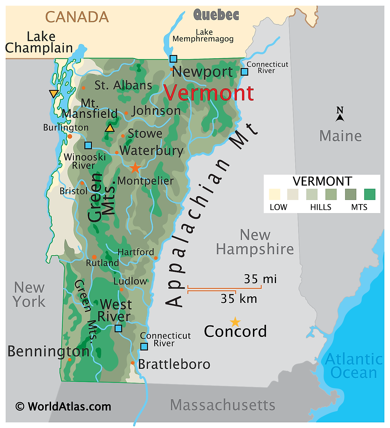
Vermont is located in the northeastern United States, along the western shore of Lake Champlain and the Connecticut River. New York borders it to the west, Massachusetts to the south, and New Hampshire to the east. The state has a total area of 9,622 square miles, making it the 45th largest.
The state is dominated (south to north) by the wooded Green Mountains. These mountains are part of the northern range of the Appalachian Mountains and include more than 200 mountains over 2,000 ft. Located in the Chittenden County within the Underhill town is Mount Mansfield - Vermont's highest point, which rises to an elevation of 4,395ft. Rock of Ages, a quarry just outside the town of Barre in Vermont, is one of the world's largest sources of granite.
On average, Vermont has 58 days of sunshine per year due to its unique location within temperate latitudes, prompting regular storms. Vermont's climate is classified as humid continental with four distinct seasons and wide variations in temperature between summer and winter months. Summer temperatures average around 70°F, while winter temperatures range between 32°F and below zero. Average annual snowfall varies from 25 to 89 inches throughout Vermont, depending on altitude and proximity to significant bodies of water like Lake Champlain or Lake Memphremagog.
Deciduous forests once covered the region, composed primarily of maple, beech, oak, birch, elm, pine, and hemlock, until rapid logging during the nineteenth century left much of these forests depleted. Today, second-growth forests have become established but remain sparse due to a long growing season, shorter winters than other Northeastern US states, and limited adventitious species from Europe that form dense forest canopies elsewhere in this region of North America.
Significant rivers of Vermont include the Connecticut River - running along its entire eastern border, and the Lamoille, Otter Creek, West, White, and Winooski rivers.
Lake Champlain, covering Vermont's northwestern border with New York, is the largest lake in the New England region, and the sixth-largest lake in the country. Lake Memphremagog, in the far north, is the state's second-largest lake. The state’s lowest point is, situated along the shoreline of Lake Champlain, at an elevation of 95ft.
Counties Map
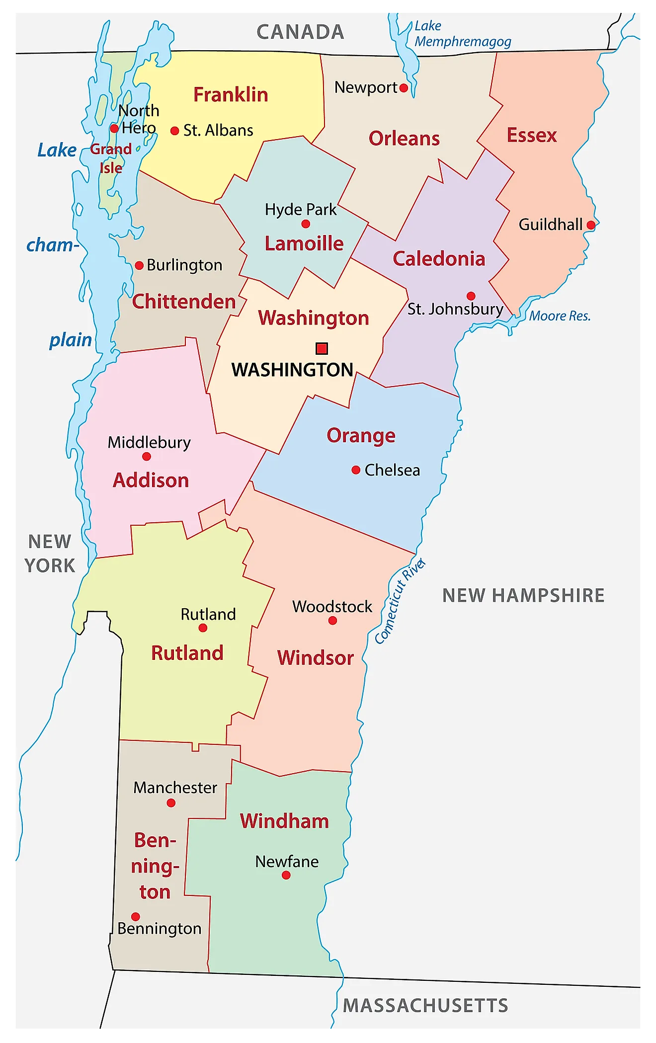
The State of Vermont is divided into 14 counties. In alphabetical order, these counties are: Addison, Bennington, Caledonia, Chittenden, Essex, Franklin, Grand Isle, Lamoille, Orange, Orleans, Rutland, Washington, Windham, and Windsor.
With an area of 24,906 sq. km, Vermont is the 6th smallest and the 2nd least populous state in the USA. Located in the north-central part of the state is Montpelier – the capital city of Vermont. It is also the least populous state capital in America. It serves as the administrative, insurance, education, and tourism center of the state. The capital city is also known for its worldwide production of granite memorials. Situated in the northwestern part of the state, near the US-Canada border is Burlington – the largest and the most populous city in Vermont. The state’s biggest hospital – the University of Vermont Medical Center is located within the city. In 2015, it became the 1st city in the US to operate completely on renewable energy.
Where is Vermont?
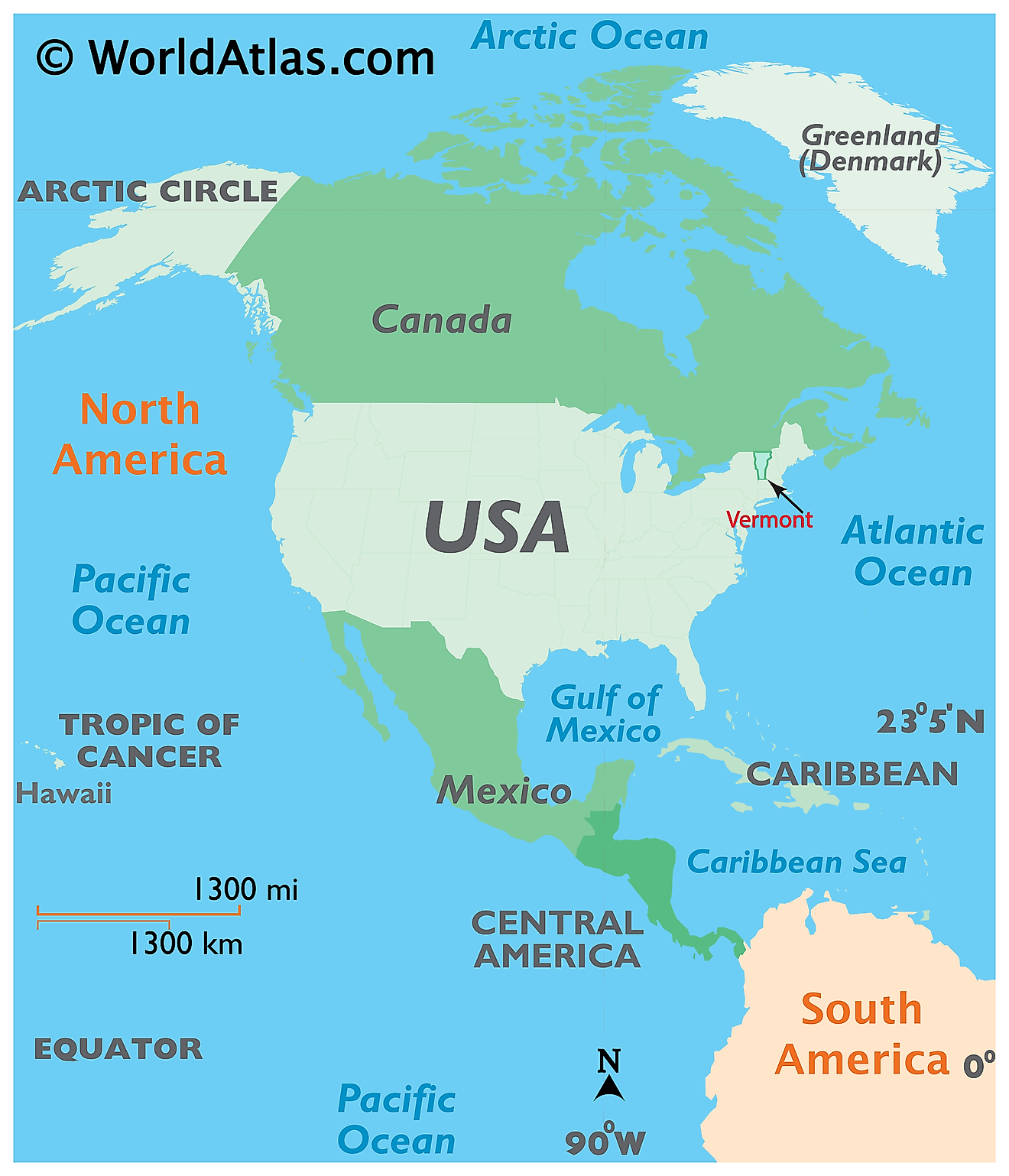
The State of Vermont is located in the northeastern (New England) region of the United States. The landlocked Vermont state is bordered by Massachusetts in the South; by New Hampshire in the east; by New York in the west and by the Canadian province of Quebec in the north.
Regional Maps: Map of North America
Outline Map of Vermont
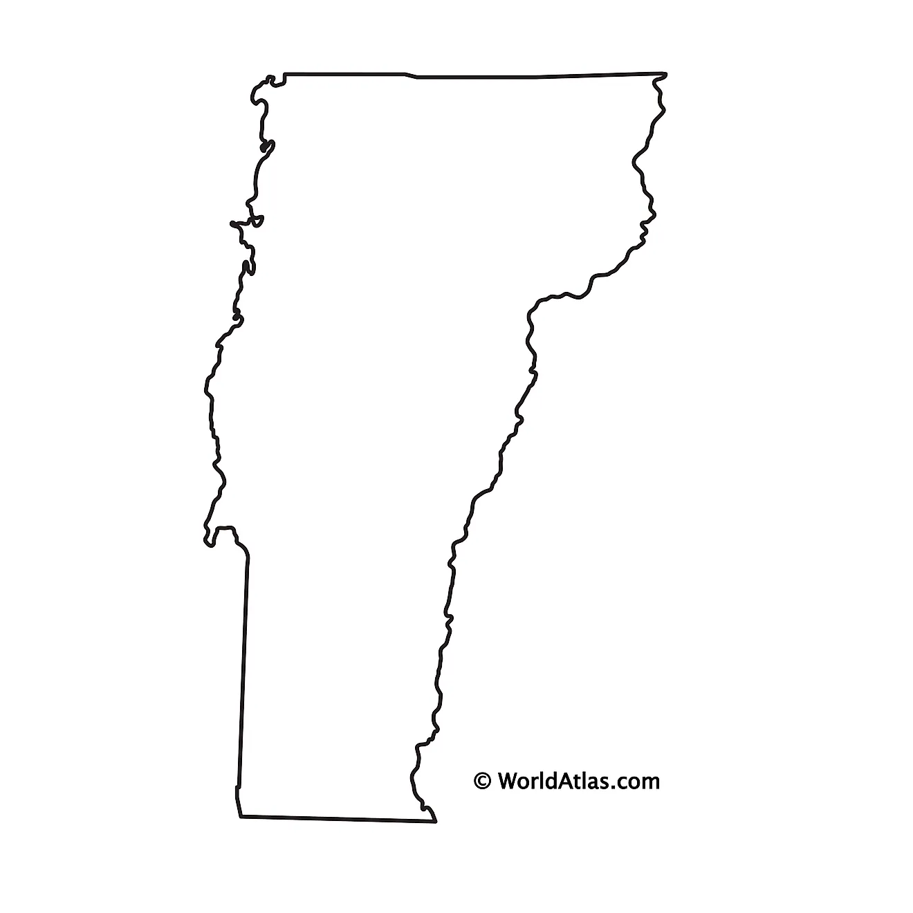
The above blank map represents the State of Vermont, located in the northeastern (New England) region of the United States. The above map can be downloaded, printed and used for geography education purposes like map-pointing and coloring activities.
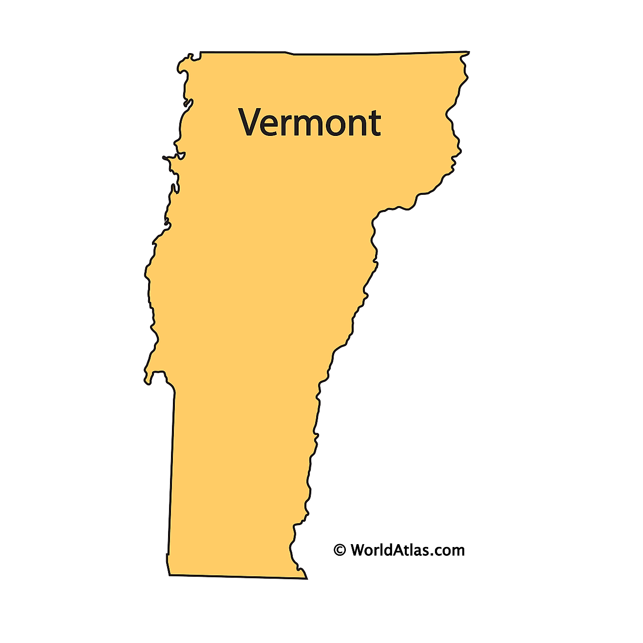
The above outline map represents the State of Vermont, located in the northeastern (New England) region of the United States.
Key Facts
| Legal Name | State of Vermont |
|---|---|
| ISO 3166 Code | US-VT |
| Capital City | Montpelier |
This page was last updated on February 14, 2023
