Delmarva Peninsula
The Delmarva Peninsula is a large peninsula that is located on the eastern coast of the United States. This significant peninsula is mostly occupied by the entire State of Delaware and portions of the States of Maryland and Virginia. The term Delmarva is therefore derived from the letters in the name of the three states that share the peninsula: DELaware, MARyland, and VirginiA.
Geography

The Delmarva Peninsula is bounded by the Delaware Bay, Delaware River, and the Atlantic Ocean in the east and by the Chesapeake Bay in the west. In the north, the peninsula shares a land border with the State of Pennsylvania. The Delmarva Peninsula measures approximately 274 km in length and has a maximum width of about 113 km.
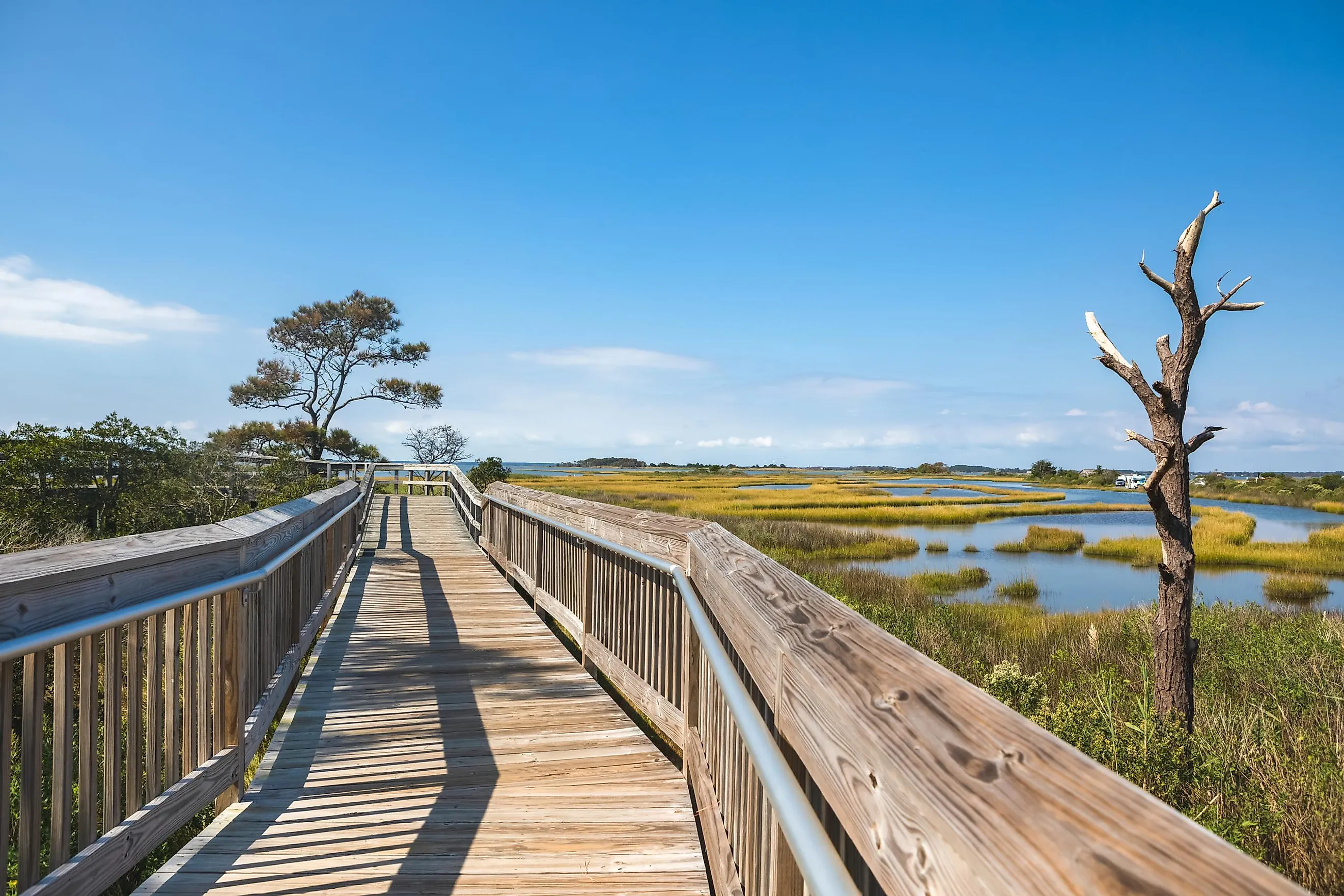
The entire peninsula forms a part of the Atlantic Coastal Plain and is mostly a flat and sandy region with few low-lying hills. Stillpond Neck in Maryland, which rises to an elevation of 31 m, is the highest point in the Delmarva Peninsula. The Atlantic coast of the peninsula is formed by the Fenwick Island in the north and the Virginia Barrier Islands in the south. The southern edge of the Delmarva Peninsula is formed by Cape Charles which is a part of Northampton County in Virginia.
According to the Köppen climate classification, the Delmarva Peninsula experiences a humid subtropical climate.
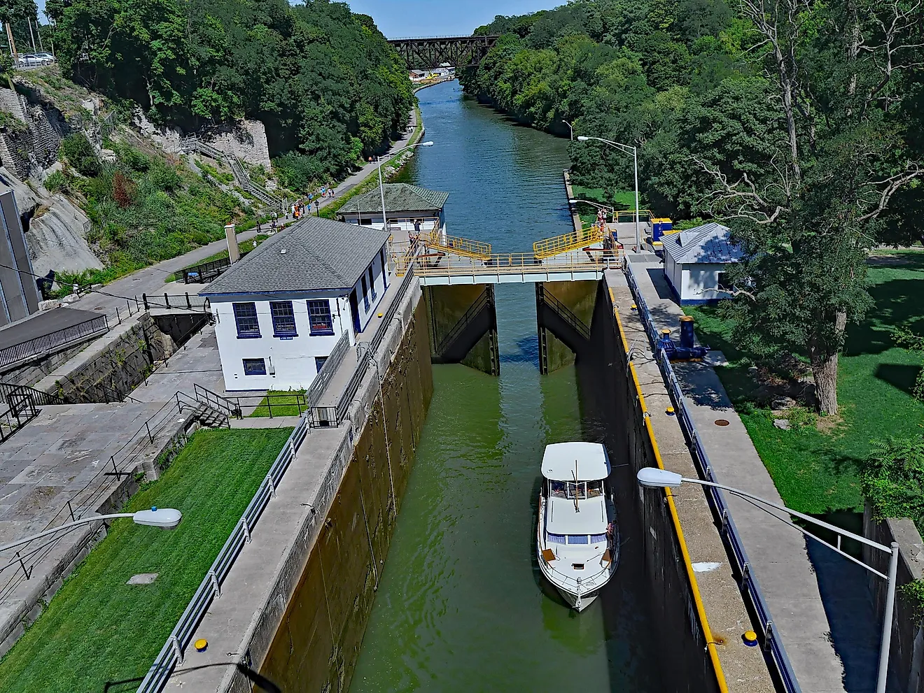
The 22.5 km-long Chesapeake & Delaware Canal cuts across the narrow isthmus in the northern part of the peninsula and connects the Chesapeake Bay with the Delaware River. The 28.3 km-long Chesapeake Bay Bridge-Tunnel links Cape Charles with the city of Norfolk. The 6.9 km-long Chesapeake Bay Bridge spans the Chesapeake Bay and connects the rural eastern shore region of Maryland with its more urbanized Western shore. The city of Dover in Delaware is the most populous in the Delmarva Peninsula. Besides Dover, the city of Salisbury in Maryland also serves as the principal commercial center in the Delmarva Peninsula.
Brief History

It is believed that the Delmarva Peninsula was inhabited by Indigenous peoples since the last Ice Age from 10,000 to 8,000 BCE. Several archaeological sites like Cator’s Cove, Oyster Cove, and Miles Point have been discovered in the coastal plains of the Delmarva Peninsula. Before the arrival of the Europeans, the Atlantic Ocean coast of the Peninsula was inhabited by the Indigenous peoples of Assateague, Choptico, Moteawaughkin, Hatsawap, and Manaskson, among others. The Chesapeake shore of the Peninsula was inhabited by the Choptank and Nentigo people.
Led by the Spanish explorer Pedro Menéndez de Avilés, an expedition from Spanish Florida reached the Delmarva Peninsula in 1566. They hoped to find the fabled Northwest Passage, but a storm prevented any significant exploration or settlement. In 1631, the Dutch West India Company established its first short-lived settlement named Zwaanendael in the present State of Delaware, which was destroyed after a year. In 1638, the New Sweden colony was established in the northern part of the state. The previous Dutch settlement in Delaware was subsequently recaptured and was included in the New Netherland Colony. In 1664, Delaware was occupied by the British. In 1682, the land was transferred to William Penn from the Duke of York and was ruled along with the land that is now the US State of Pennsylvania. Eventually, the counties of New Castle, Sussex, and Kent declared their independence from Pennsylvania in 1776 and entered the Union as parts of the State of Delaware.