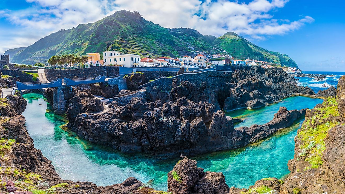
Madeira Islands
The Madeira Archipelago comprises the volcanic islands of Madeira, Desertas, and the Porto Santo located in the North Atlantic Ocean. The archipelago is a part of the Autonomous Region of Madeira and along with the Azores Archipelago and continental Portugal, it forms the Republic of Portugal. Madeira island’s name, Ilha da Madeira (island of wood), refers to the large dense forests that covered major portions of the island during its early settlement.
Agriculture is a major economic activity on the Madeira and Porto Santo islands. Other economic activities include fishing, handicrafts, woodworking, sugar processing, and tourism. The famous Madeira wine is the most important product of the island.
Where Is The Medeira Archipelago?

The Portuguese archipelago of Madeira is located about 520 km to the west of the Kingdom of Morocco and about 1,000 km to the southwest of the Portuguese capital of Lisbon. Together with the Azores Islands and the Canary and Cape Verde Islands, the Madeira Archipelago forms a part of Macaronesia. Located on the southern coast of the principal island of Madeira is Funchal, the capital and the largest city of the Madeira Archipelago.
The Madeira Islands cover a total area of 801 km2 and comprise the two inhabited islands of Madeira and Porto Santo and the two uninhabited island groups of Desertas and Savage. Occupying a total area of 740.7 km2, Madeira is the largest and the most populous island of the Madeira Archipelago. It is the top of a massive submerged shield volcano that rises about 6 km from the Atlantic Ocean floor.
Geography

There are 11 municipalities within the Madeira Islands. These are Funchal, Câmara de Lobos, Calheta, Machico, Porto Moniz, Ponta do Sol, Porto Santo, Ribeira Brava, Santana, São Vicente, and Santa Cruz.
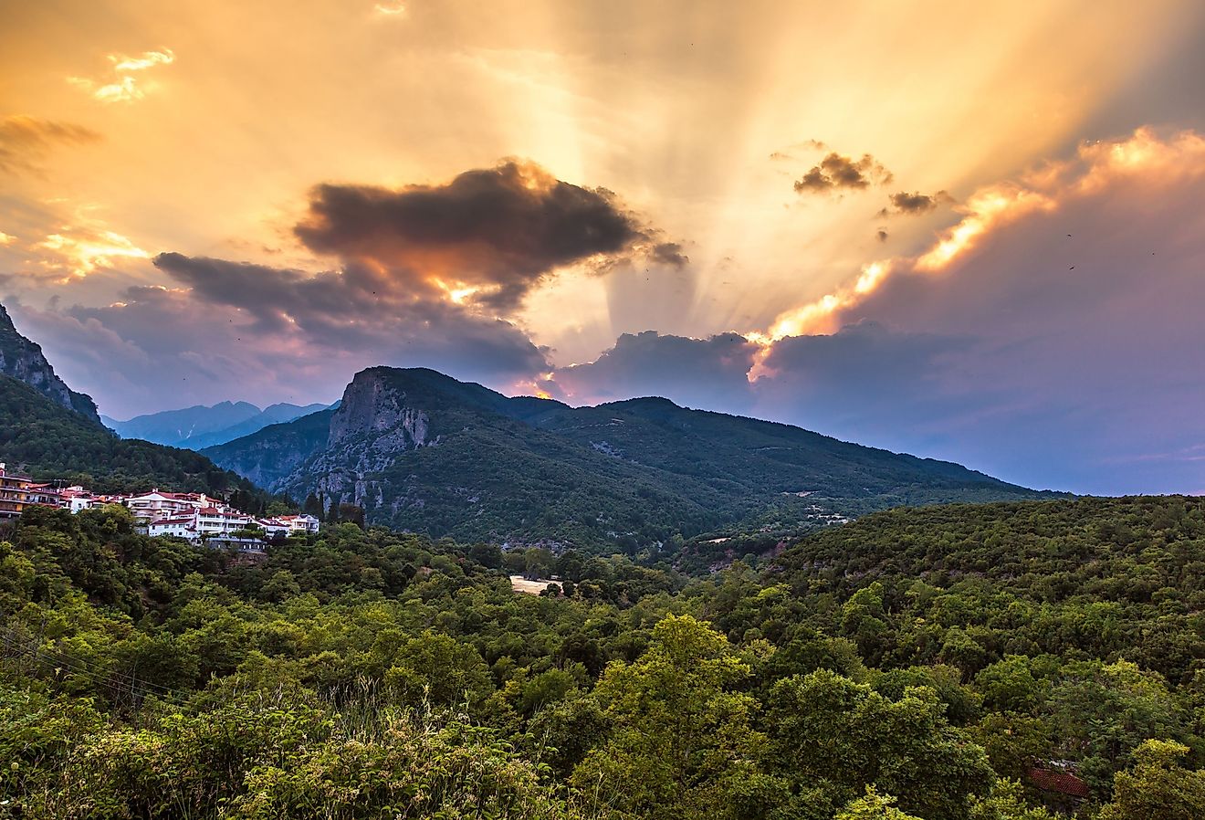
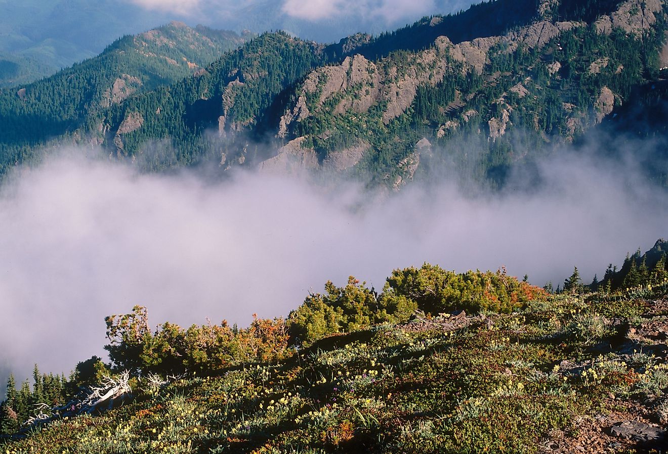
Madeira Island is about 57 km long and has a maximum width of 22 km. Madeira is rugged and mountainous and features a mountain ridge that extends along the island’s center and rises to an elevation of 1,862 m at Pico Ruivo, which is the highest mountain peak on the island. The island is also famous for its elevated sea cliffs. Located along the island’s southern coast is the tall sea cliff called Cabo Girão, which rises to an elevation of 580 m. The Levadas are long irrigation channels that carry freshwater from the northern part of the island to the farms that are located in the island’s southern part.
Covering a total area of 42.17 km2, Porto Santo Island is the second-largest island in the Madeira Archipelago. This island is situated about 43 km to the northeast of the main Madeira Island. Located in the island’s northeastern part is Pico do Facho which rises to an elevation of 517 m and is the highest point on the island.
Situated about 25 km to the southeast of Madeira Island is the small Desertas Archipelago, which consists of the three rocky islets of Bugio, llhéu de Chão, and Deserta Grande. This small archipelago encompasses an area of 14.2 km2.
Situated about 280 km to the south of the Madeira Islands and about 165 km to the north of the Canary Islands are the Savage Islands. Covering a total area of 2.73 km2, the archipelago includes the two principal islands of Selvagem Grande and Selvagem Pequena and 16 uninhabited islets that are divided into the Northeast and Southwest groups.
Climate
Madeira has several bioclimates and there are differences in temperature and humidity between the archipelago’s northern and southern regions, which are located at different altitudes. The islands are highly influenced by the Canary Current and the Gulf Stream and experience a mild climate with an average annual temperature of 19.5 °C.
Wildlife

Several endemic floral and faunal species are found in the Madeira Islands. The laurel forests that are found on the northern slopes of the island have been designated as a UNESCO World Heritage Site. Critically endangered flowering plant species like lemon-scented jasmine and the Madeiran rowan are endemic to the Madeira Archipelago. The endemic faunal species that are found here include the Madeiran wall lizard, the Madeira firecrest, and the Madeira laurel pigeon. Several species of seabirds such as the Madeira storm petrel, Cory’s shearwater, Bulwer’s petrel, little shearwater, and Zino’s petrel are also found here. Different species of dolphins including bottlenose dolphins, common dolphins, spotted dolphins and various species of whales like Bryde’s whales, beaked whales, sperm whales, and short-finned pilot whales have been observed near the island’s coasts.