Where is Mercer County, Pennsylvania?
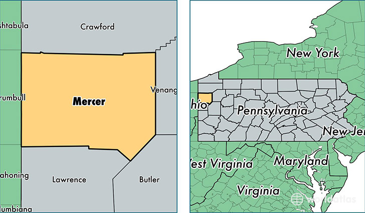
Mercer County is a county equivalent area found in Pennsylvania, USA. The county government of Mercer is found in the county seat of Mercer.
With a total 1,767.94 sq. km of land and water area, Mercer County, Pennsylvania is the 1486th largest county equivalent area in the United States. Home to 114,884 people, Mercer County has a total 51421 households earning 44301 on average per year.
Mercer County, Pennsylvania - Quick Facts
| FIPS Code | 42085 |
| Area Codes | 724,814 |
| Time Zone | EST |
| Major Cities | Greenville (population: 18,032), Hermitage (population: 16,816), Grove City (population: 16,008), Sharon (population: 13,921), Mercer (population: 12,831), Sharpsville (population: 7,363), Farrell (population: 4,899), West Middlesex (population: 4,664), Sandy Lake (population: 2,703), Stoneboro (population: 2,601) |
| Land Area | 44,357 sq miles |
| Water Area | 673 sq miles |
| Household Income | $44,301 |
| Housing Units | 51,421 |
| Median Home Value | $104,600 |
| High School Grads | 89% of population |
| Holders of Bachelors Degrees | 21% of population |
| Retail Spending | $12,308 per capita |
| Food & Accomodation Sales | $166,752 per capita |
This page was last updated on June 30, 2016.